Posted in hikes

hiking: old fossil creek dam (bob bear trailhead)

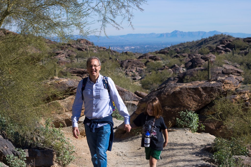
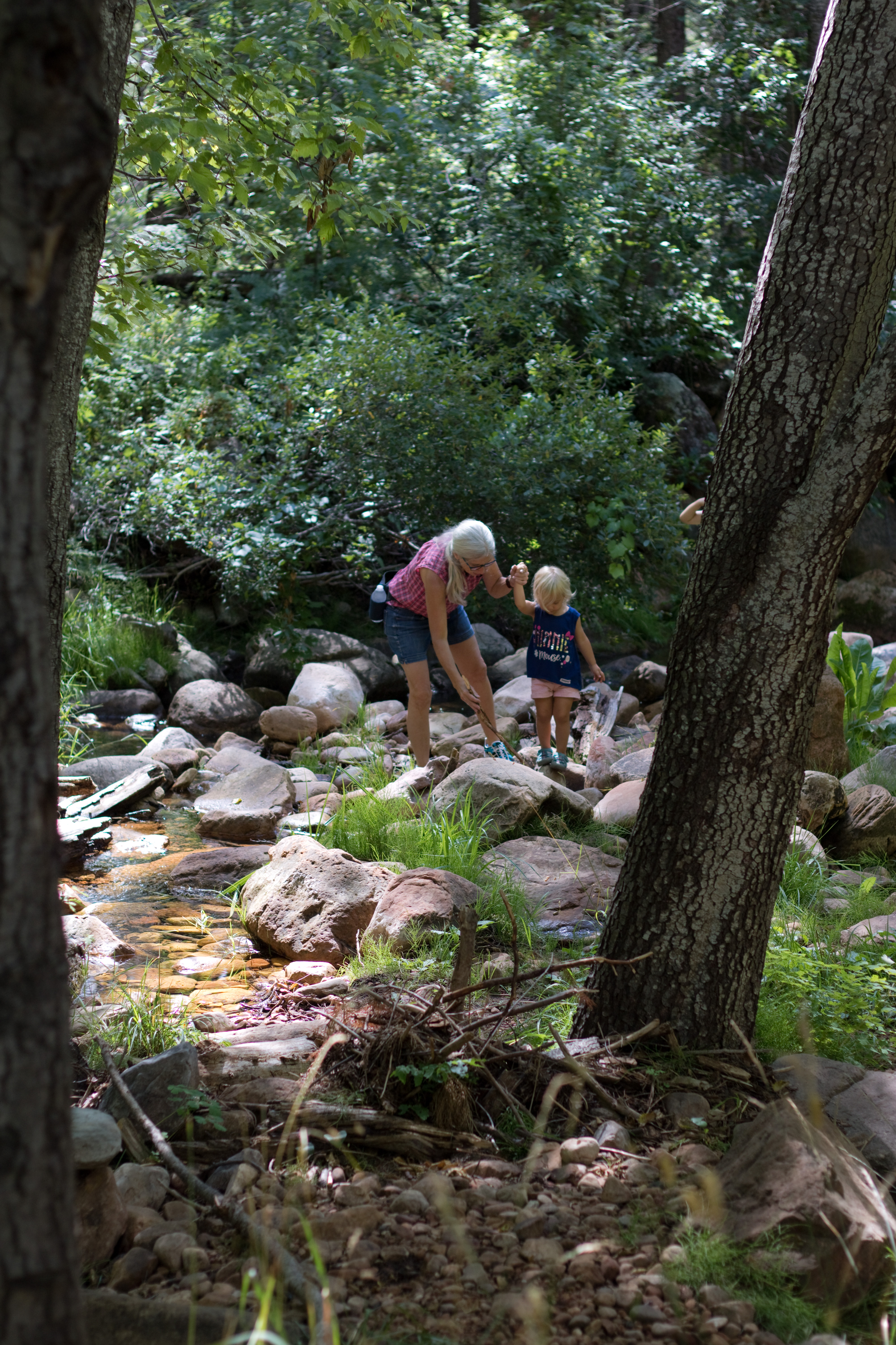
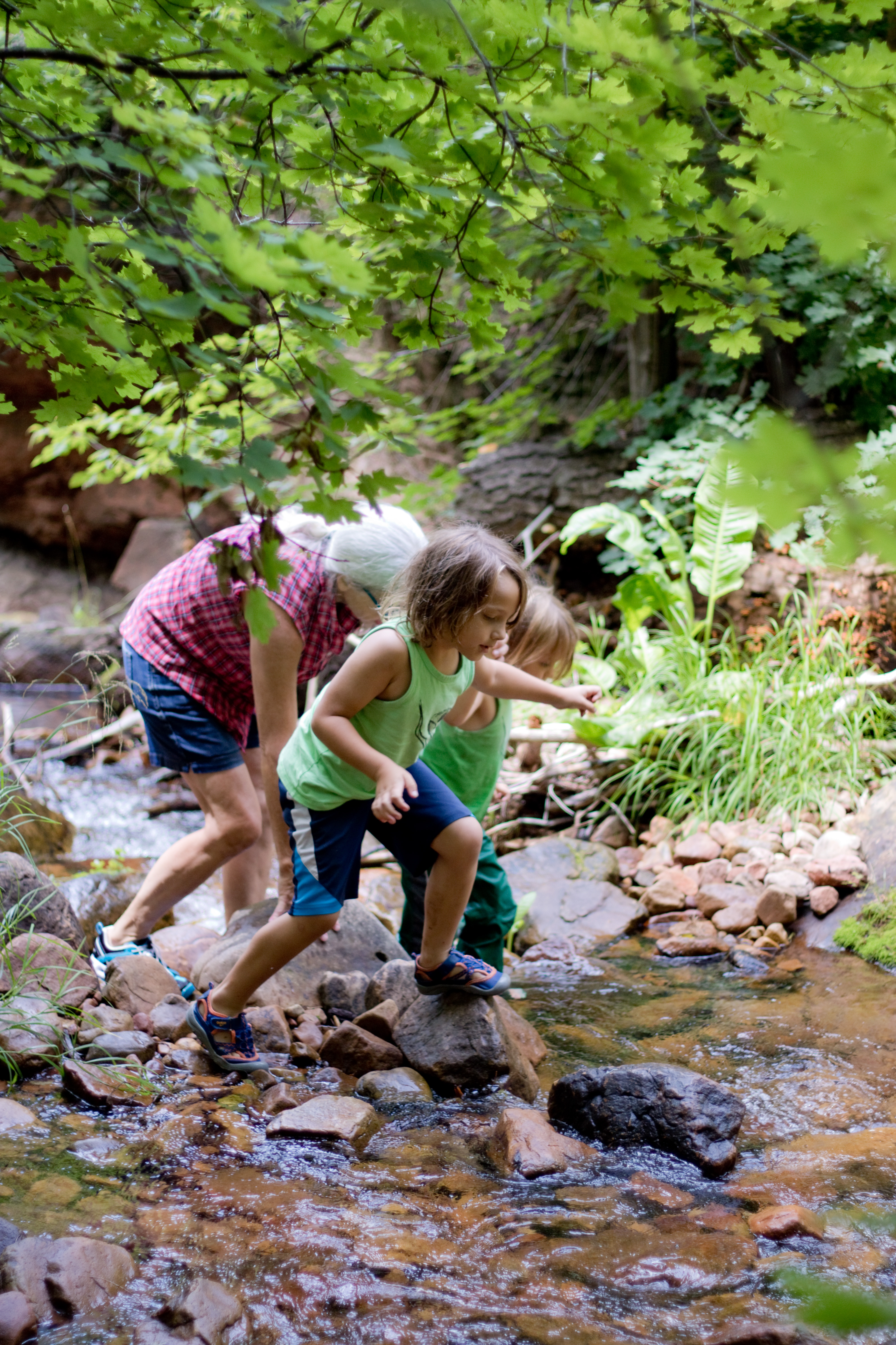
For our anniversary a few months back, Paul and I went up to Payson and hiked Bob Bear Trail down to the Old Fossil Creek Dam in the Fossil Springs Wilderness. Neither of us had been there before, and both of us would gladly go back!

The Fossil Springs Recreation Area is a permit area; due to its popularity, it had been completely closed down several years ago, and reopened in limited capacity following a time of rehabilitation. Bob Bear Trailhead is one of the less popular parking spots in the area, and it was early in the summer, so we were still able to reserve a parking pass just a few days before our trip. While a portion of the parking lots can only be accessed from Camp Verde, the Bob Bear Trailhead can only be reached from Strawberry, which worked out well for us!

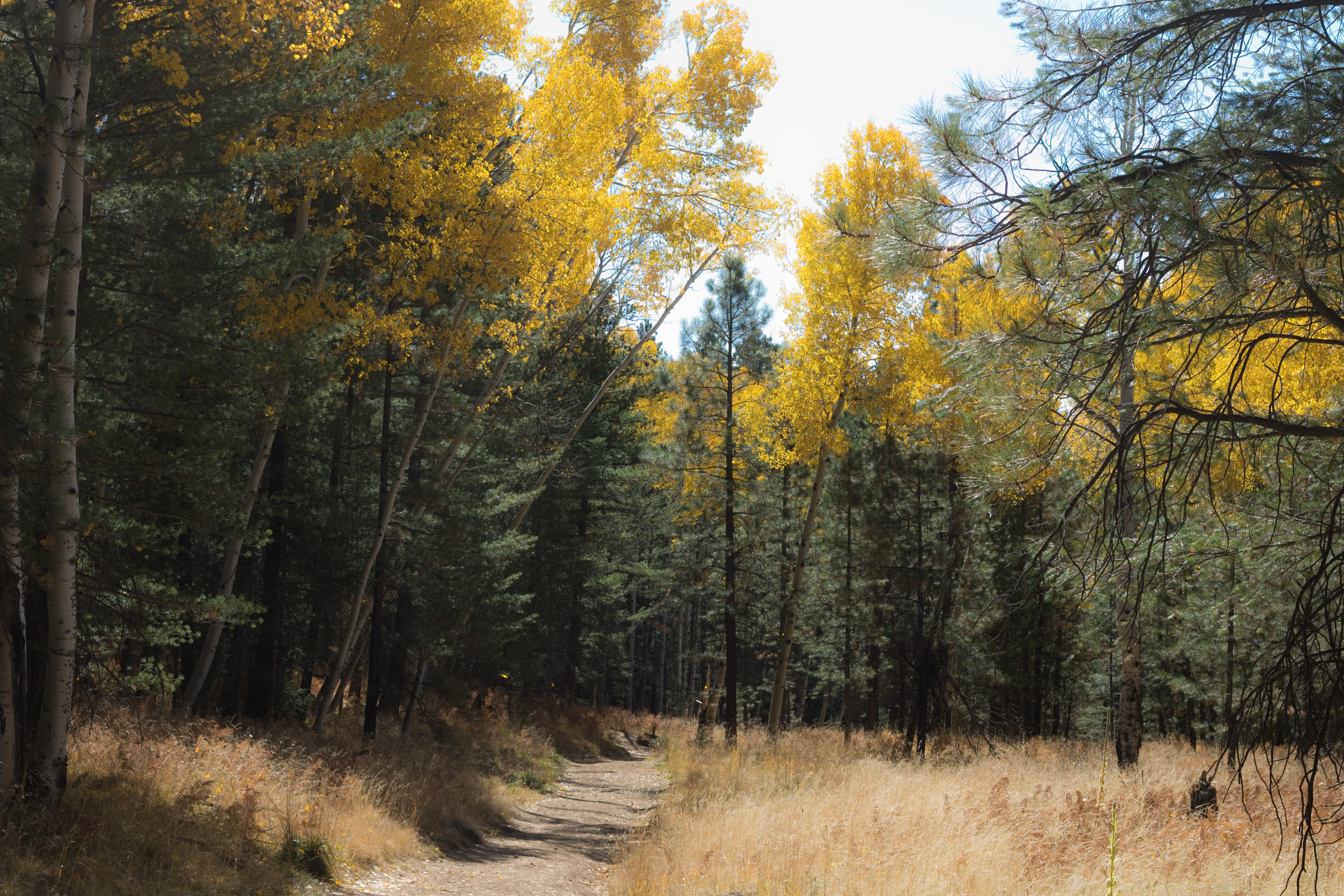
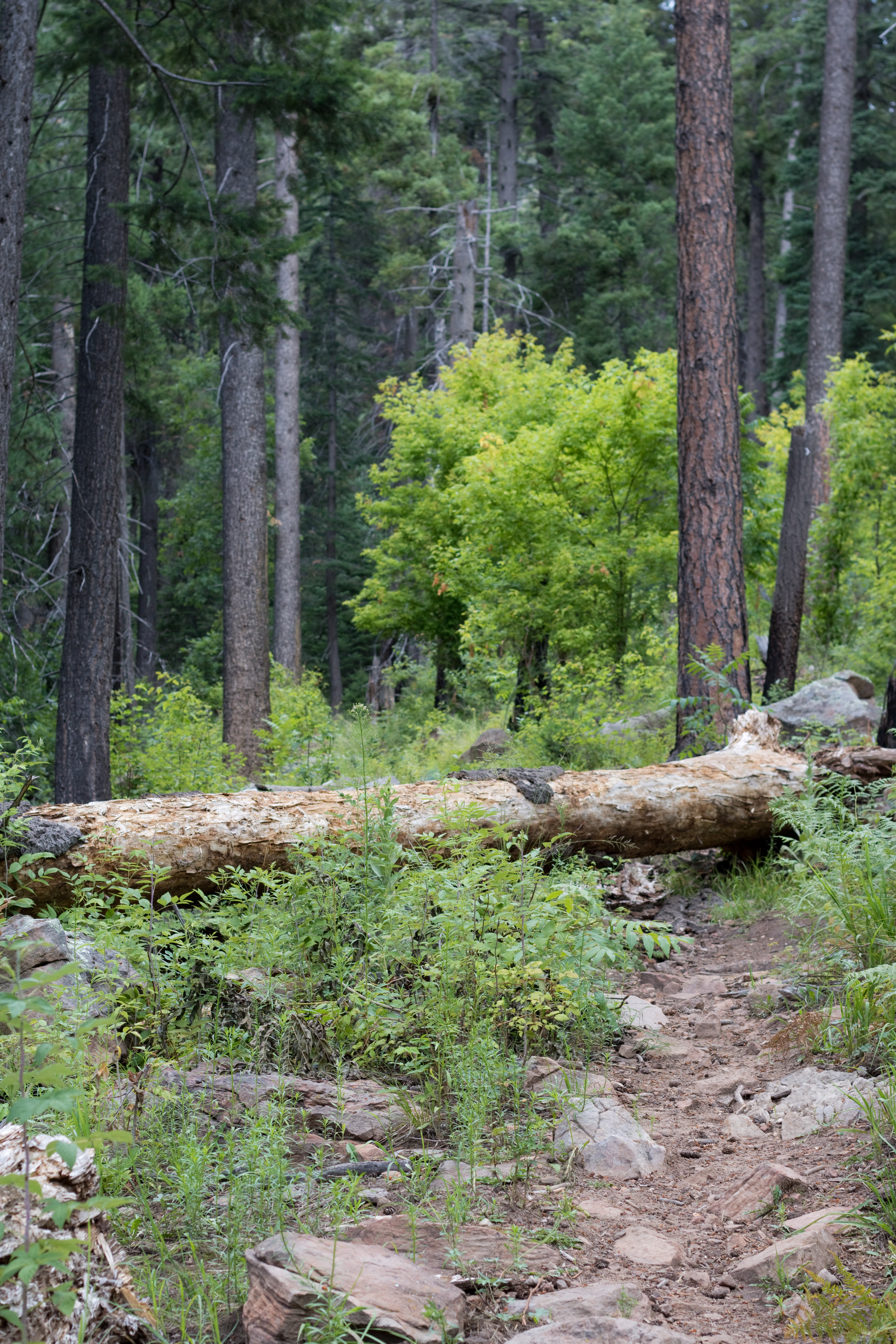
As we began, we were greeted by multiple warning signs. Combined with the trailhead map letting us know this was an 8 mile round trip with a 1500 foot elevation change… and the brochure from the forest service telling us this was one of the most strenuous hikes in all of Tonto National Forest… this was a bit alarming. But we’d both done longer hikes before, so we weren’t too concerned. In retrospect, however, I do recommend taking the warnings seriously. If you are not an experienced hiker, start with something else and work up to this one.

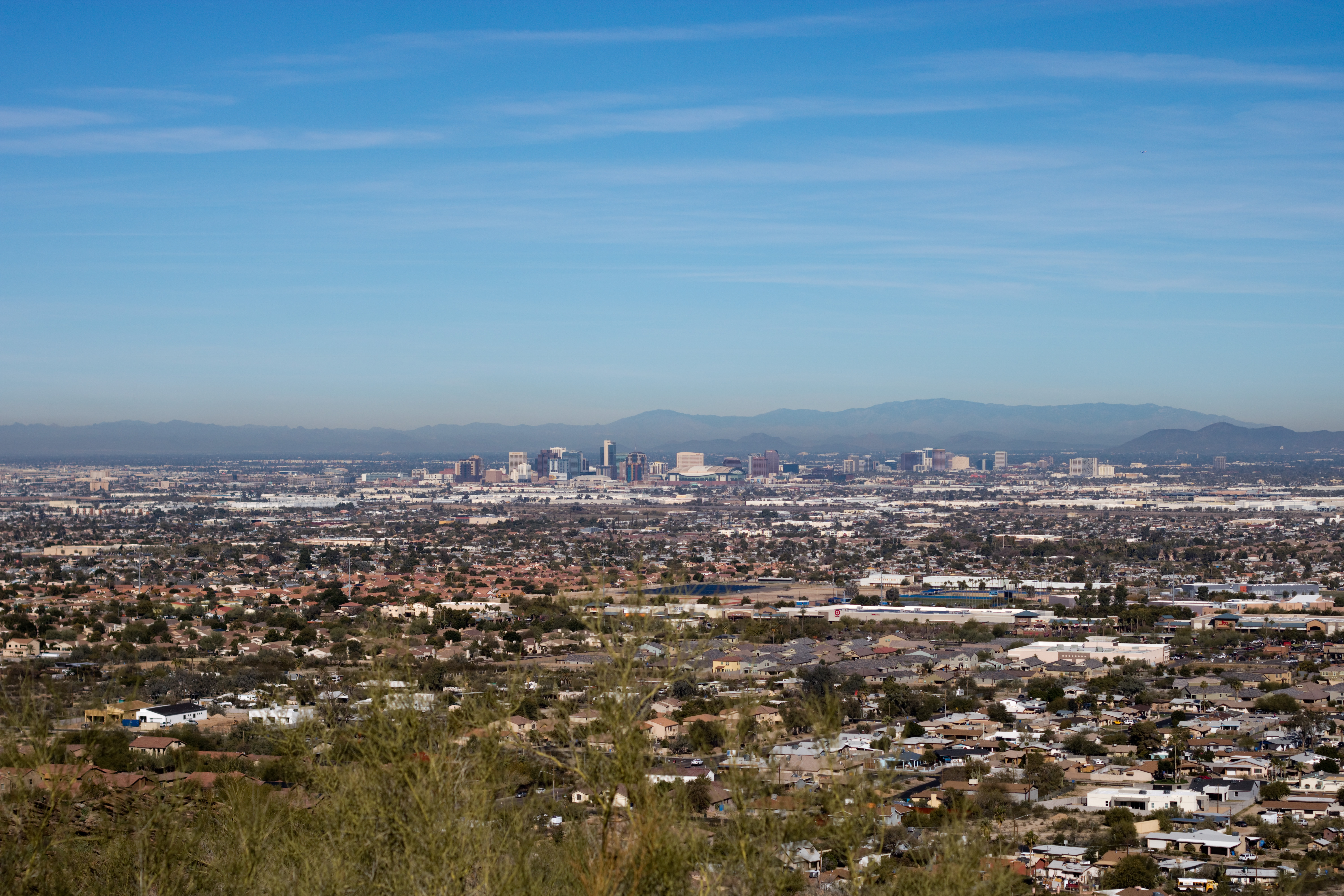
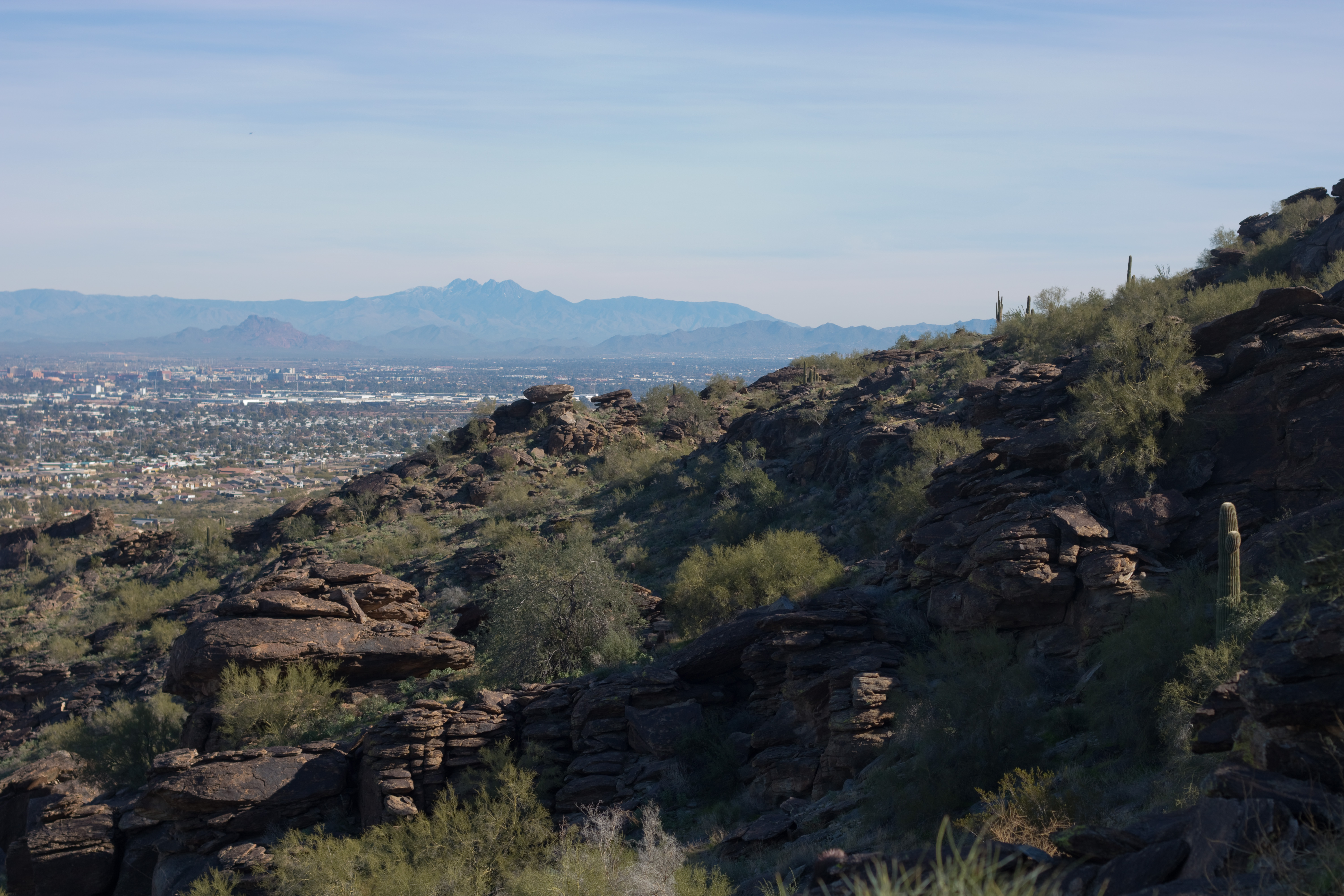
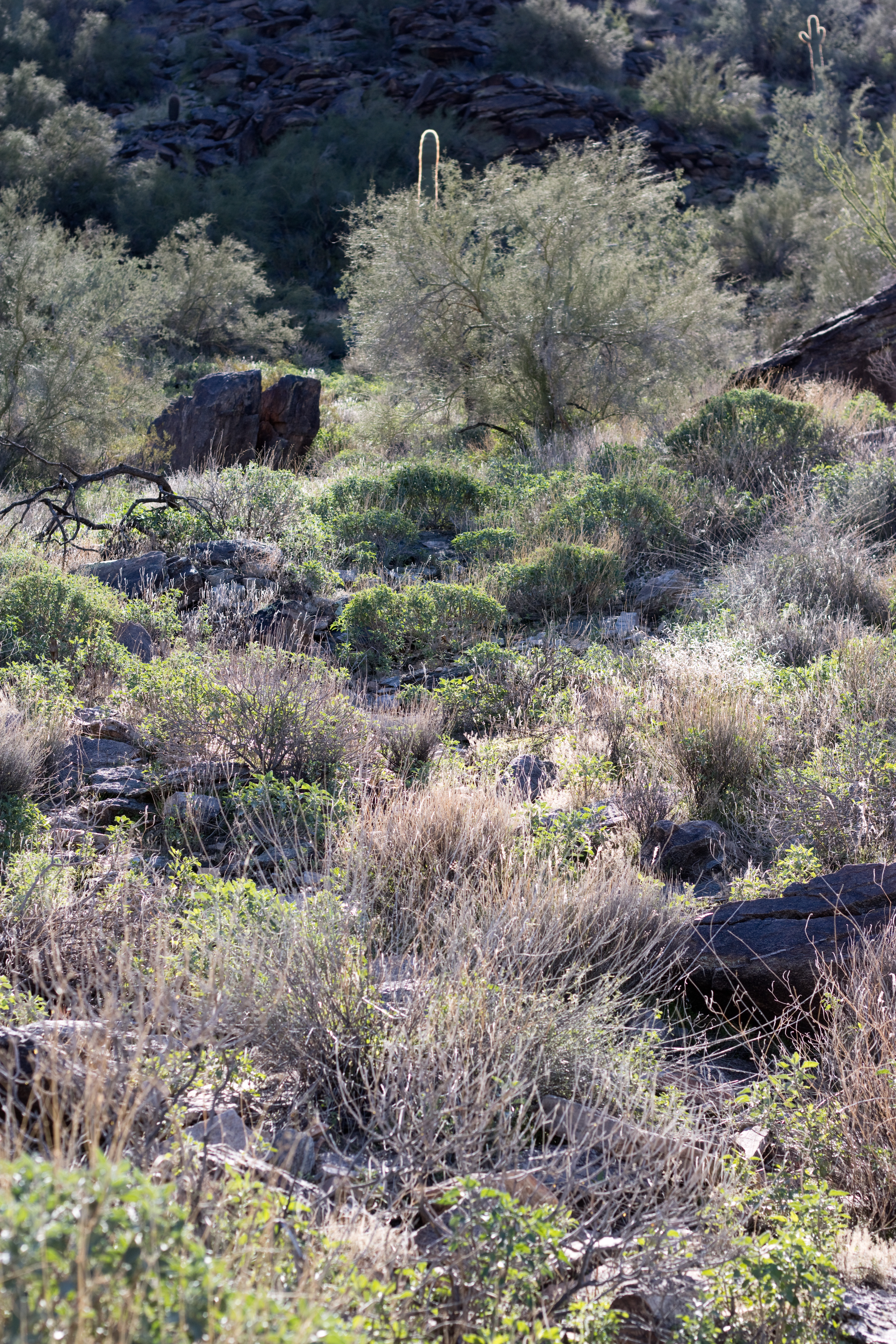
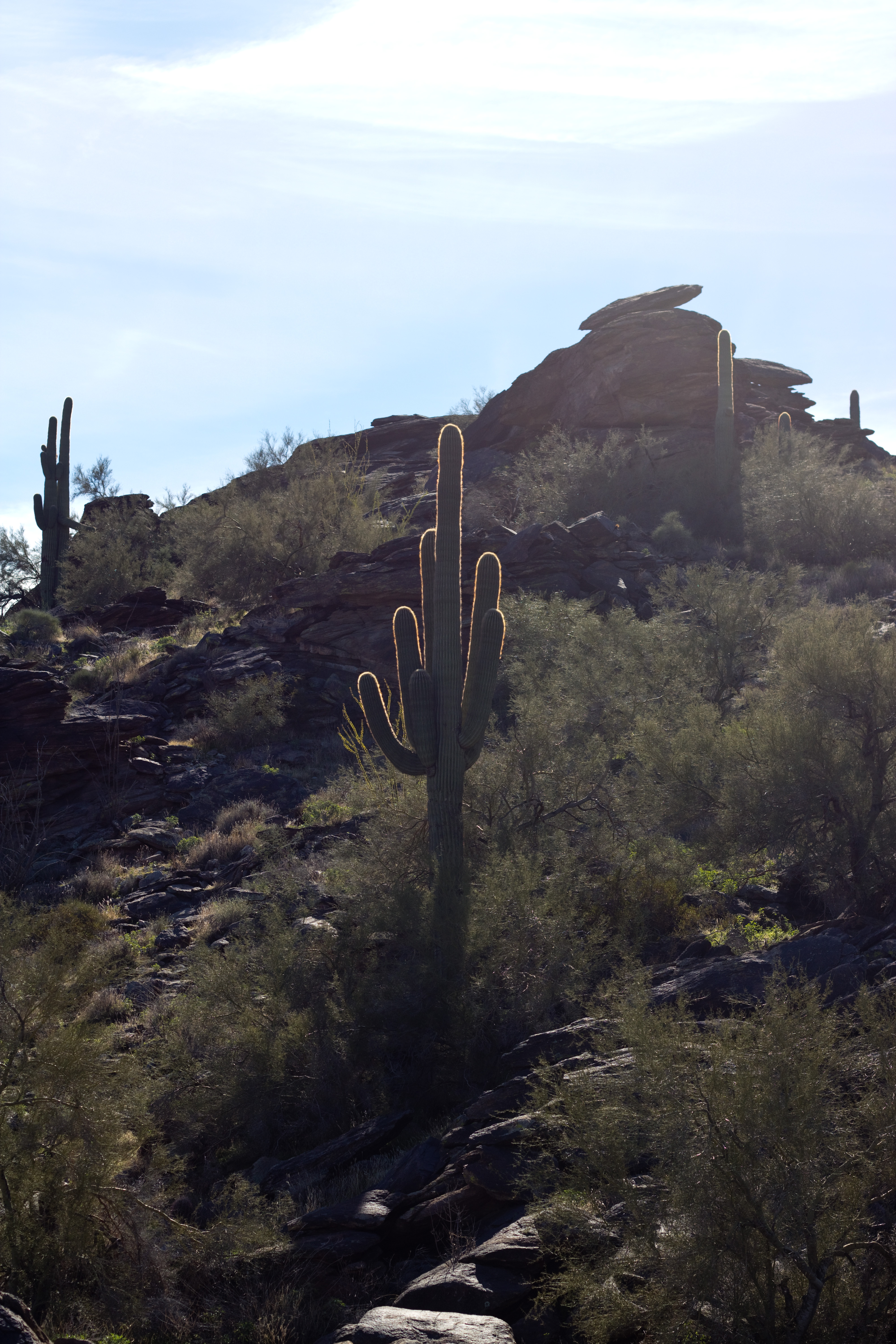
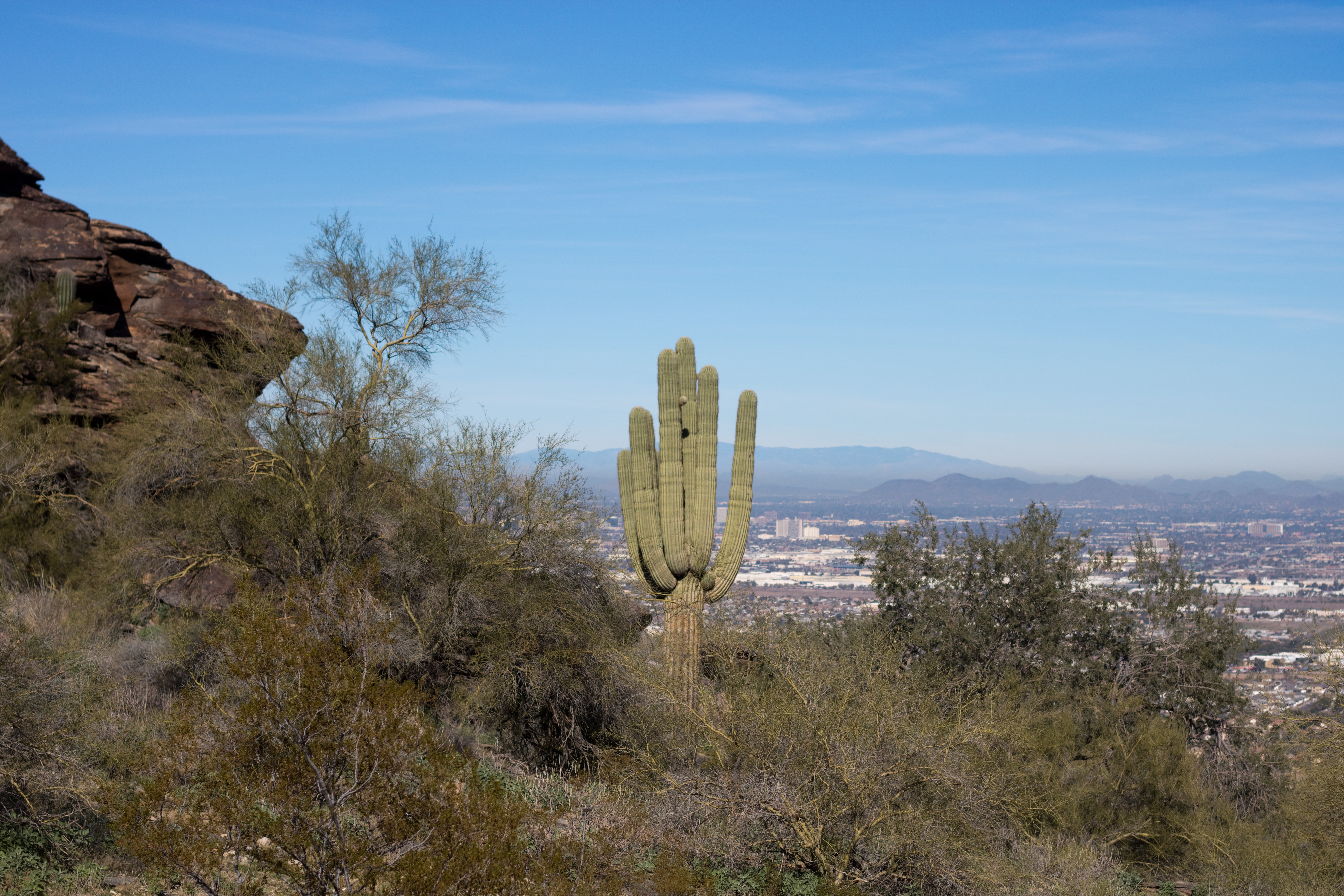
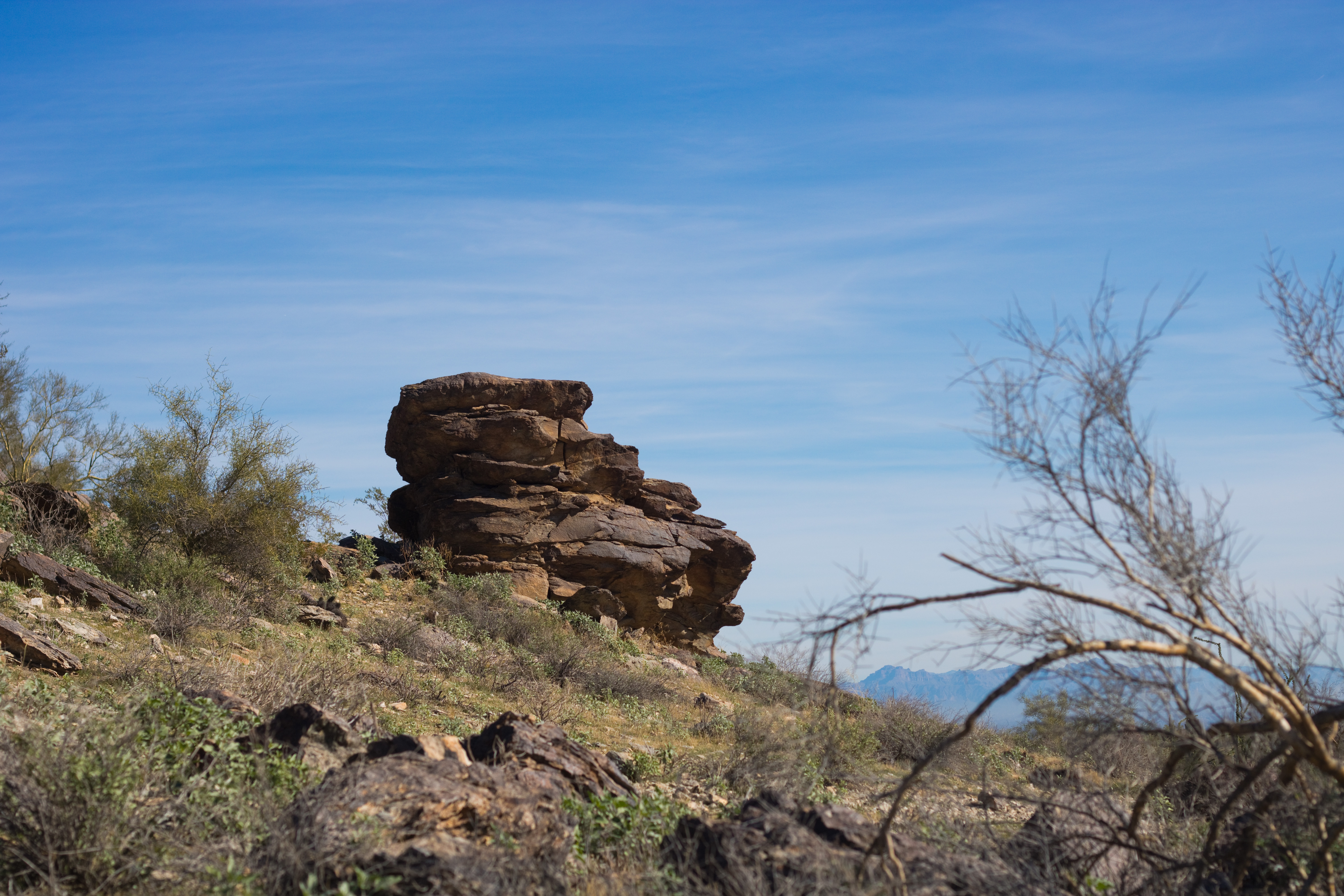
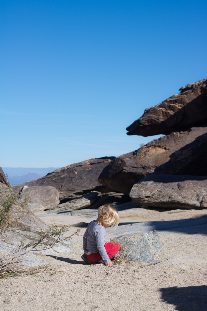
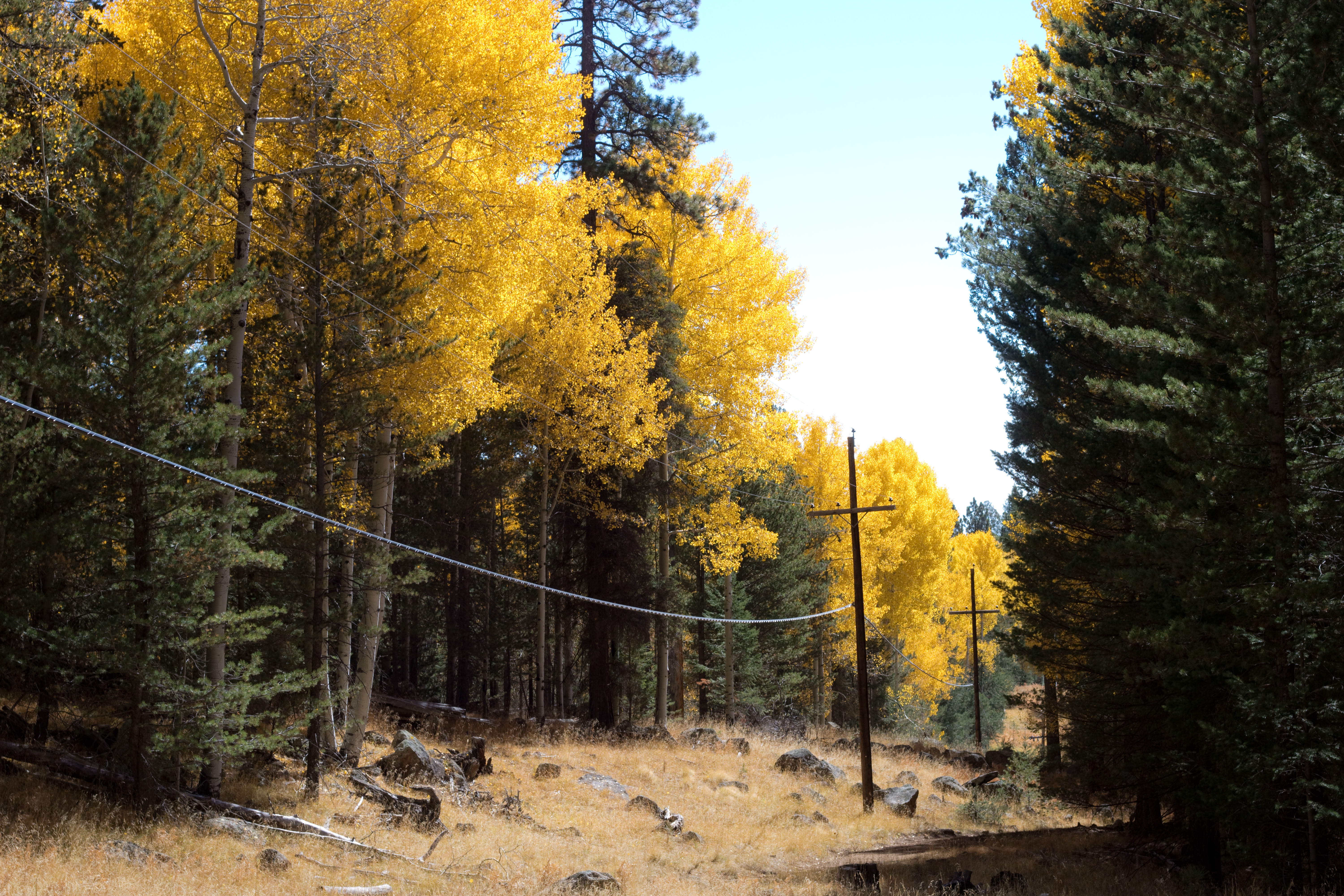
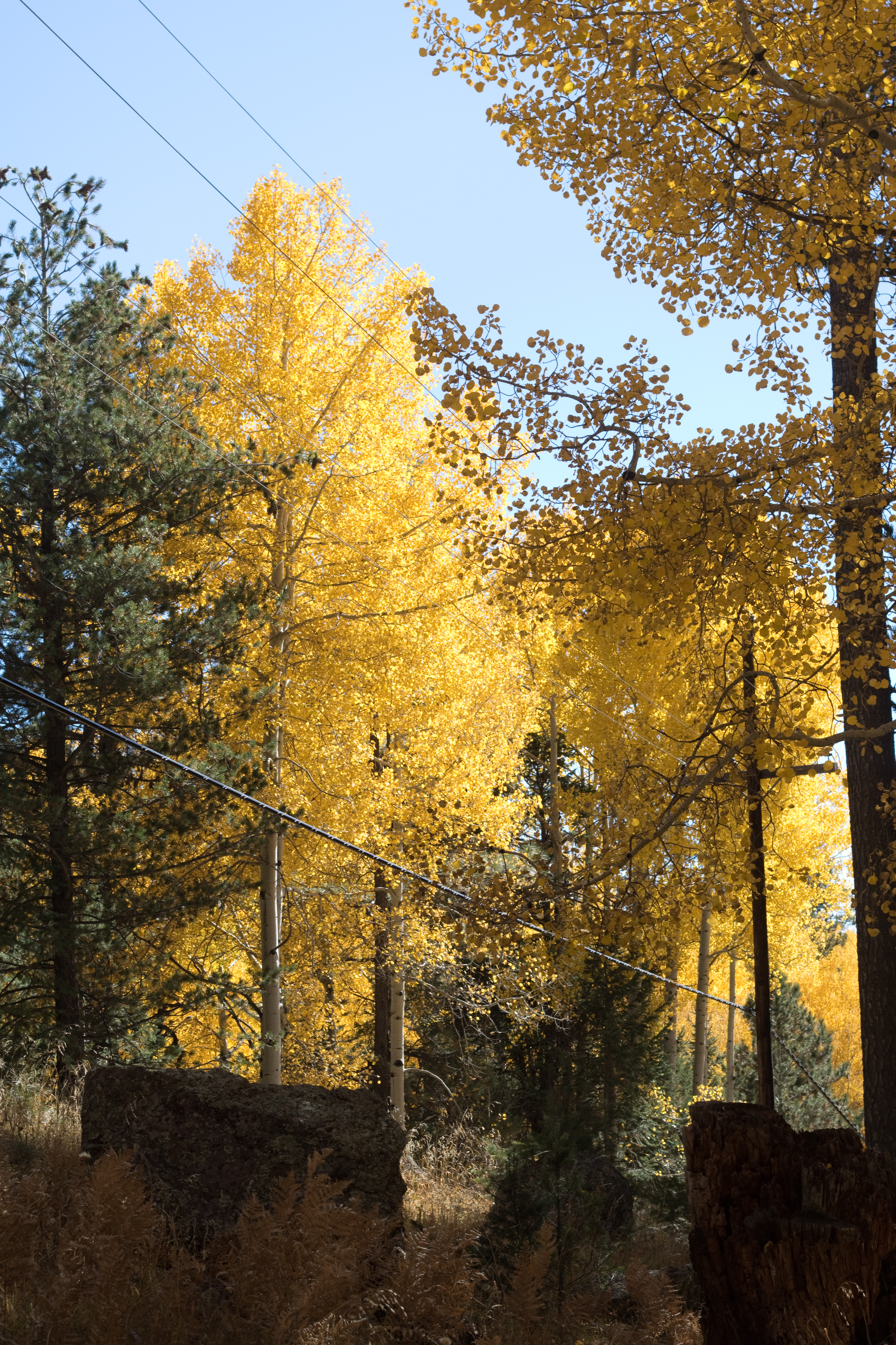
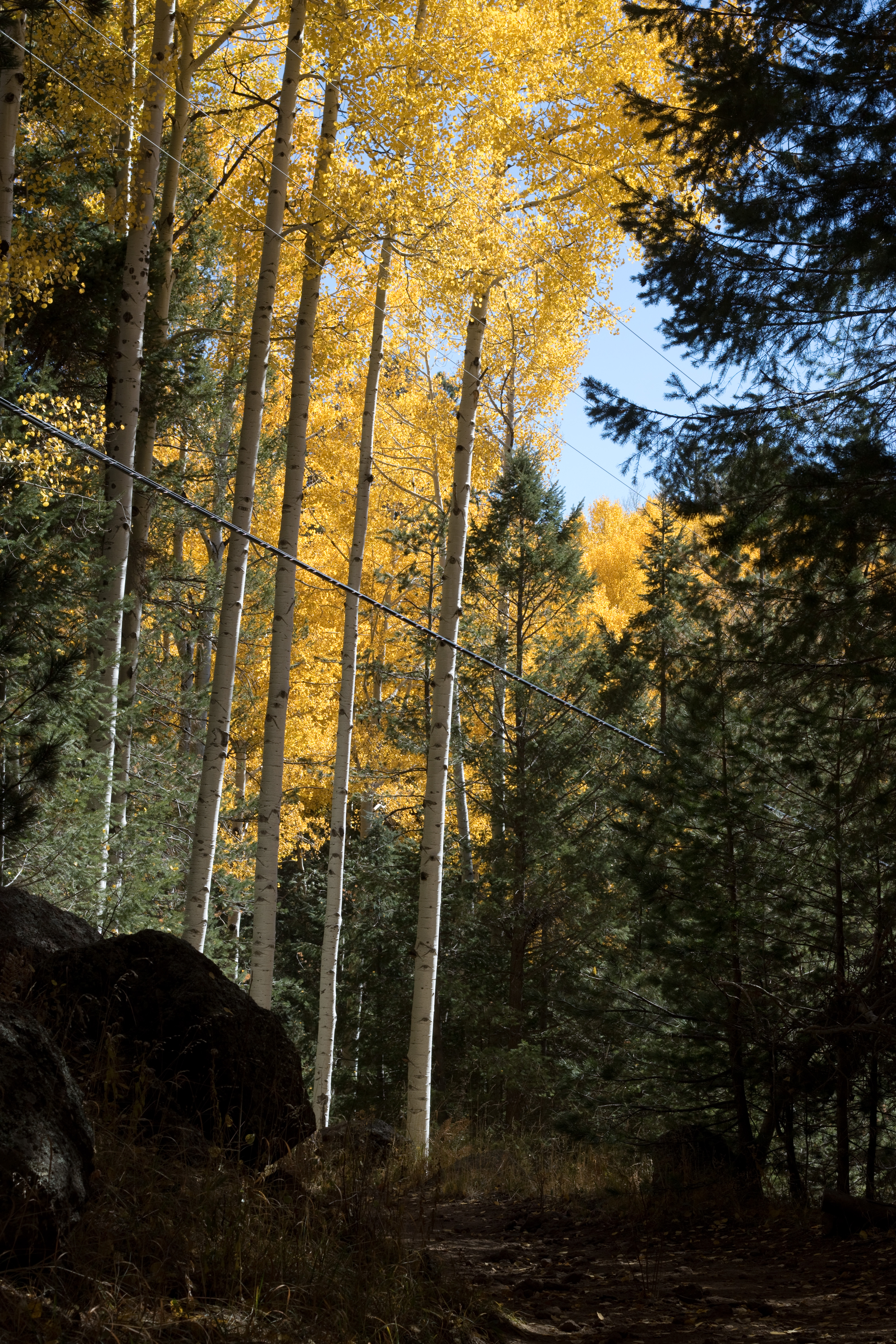
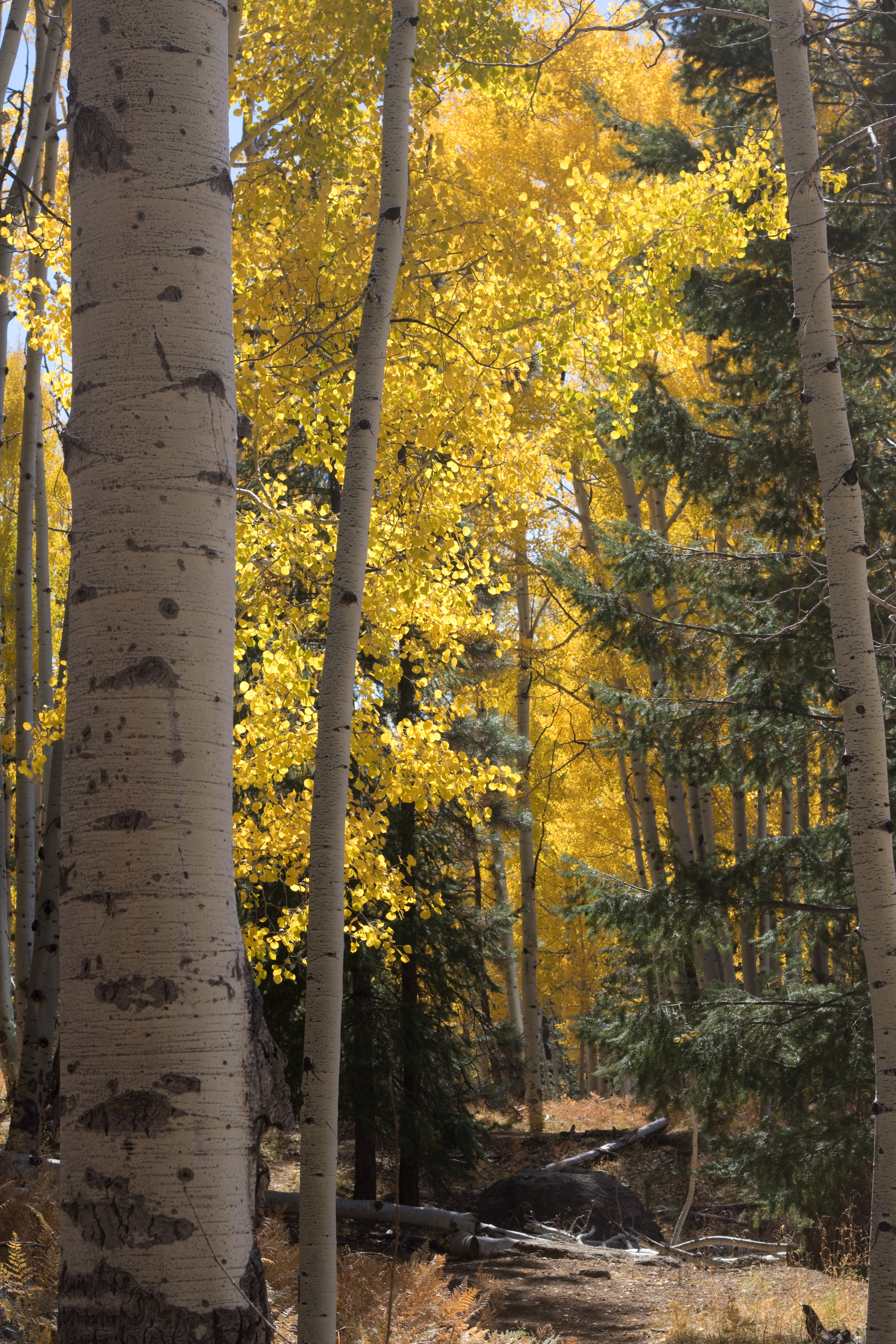
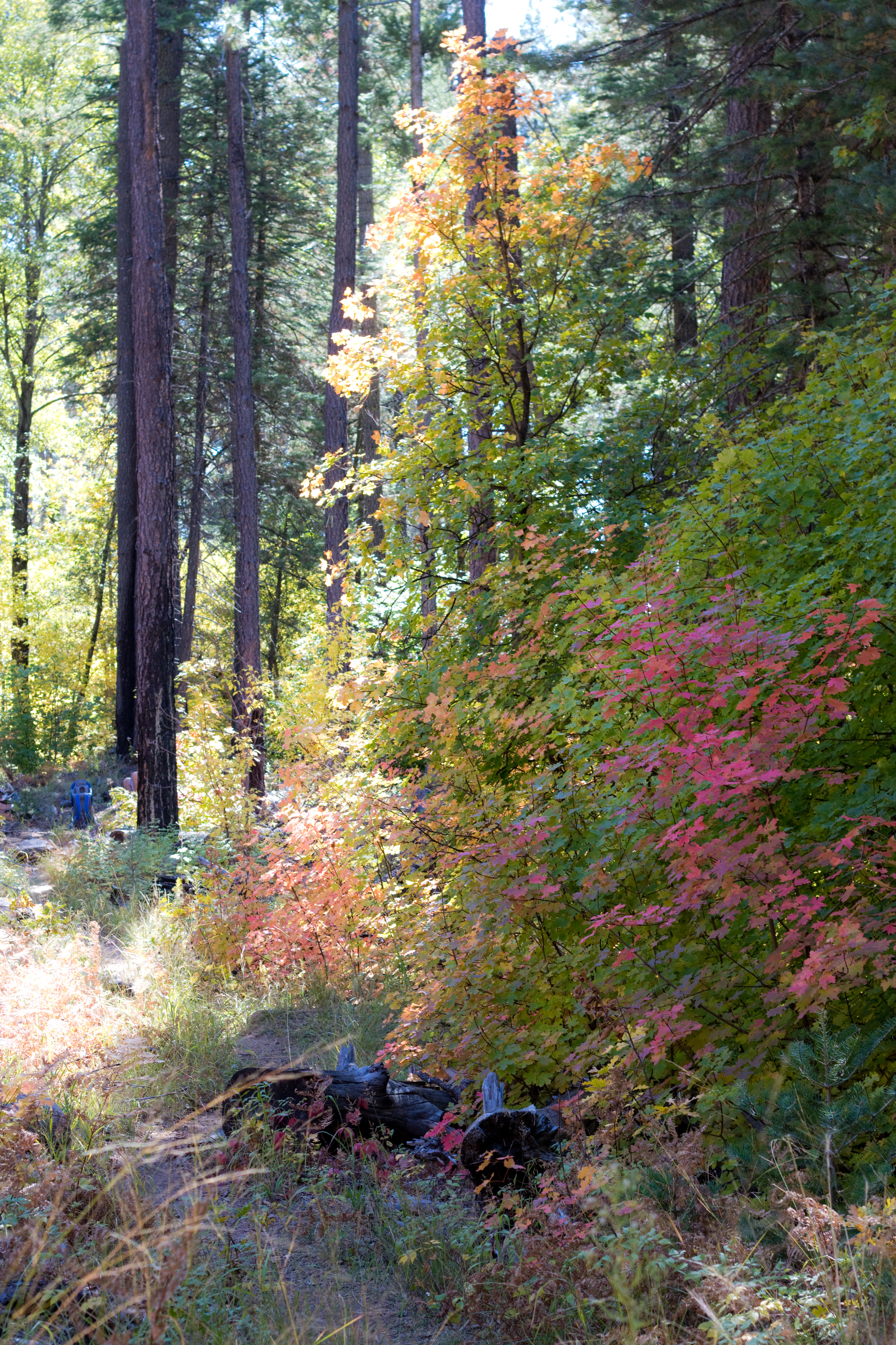
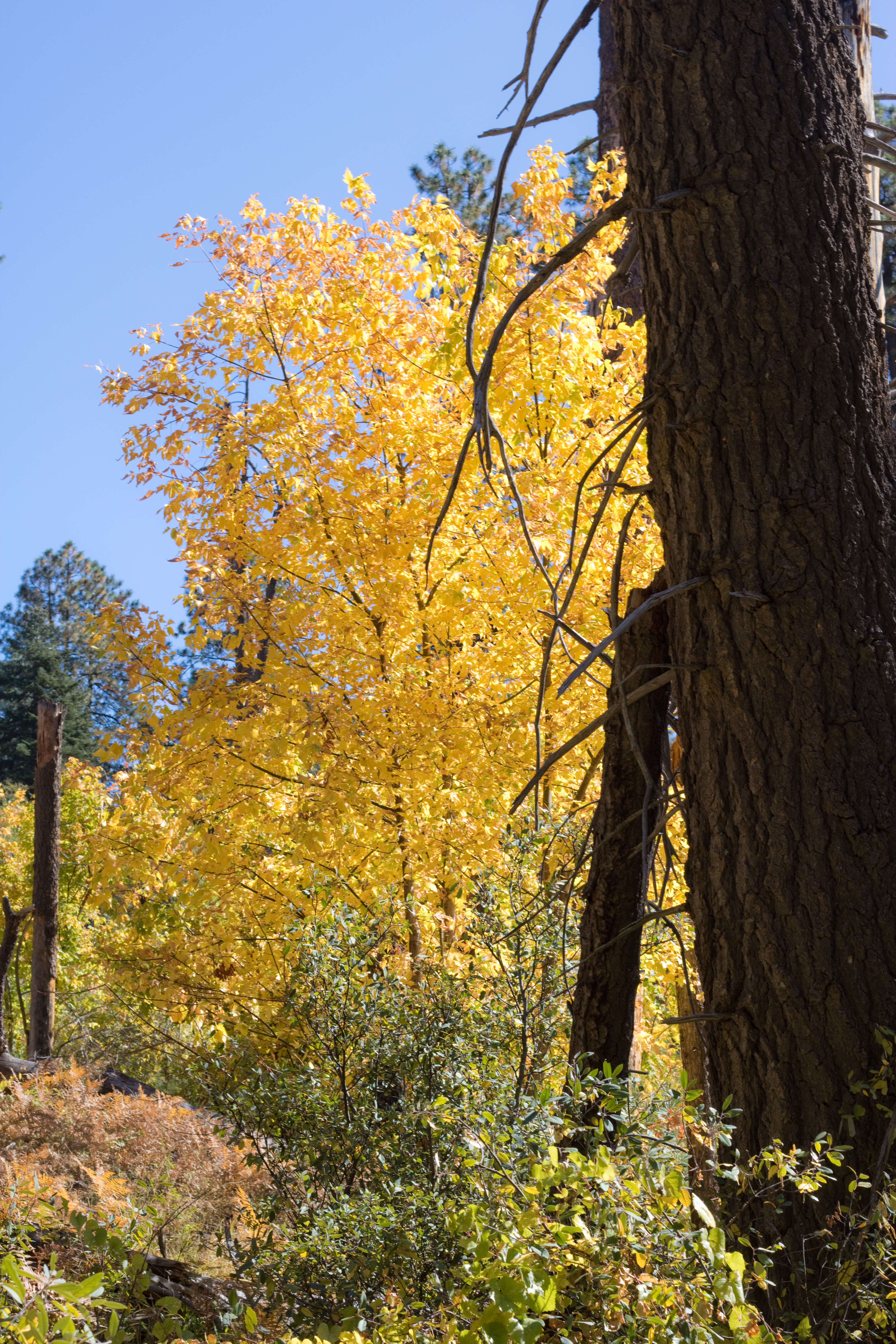
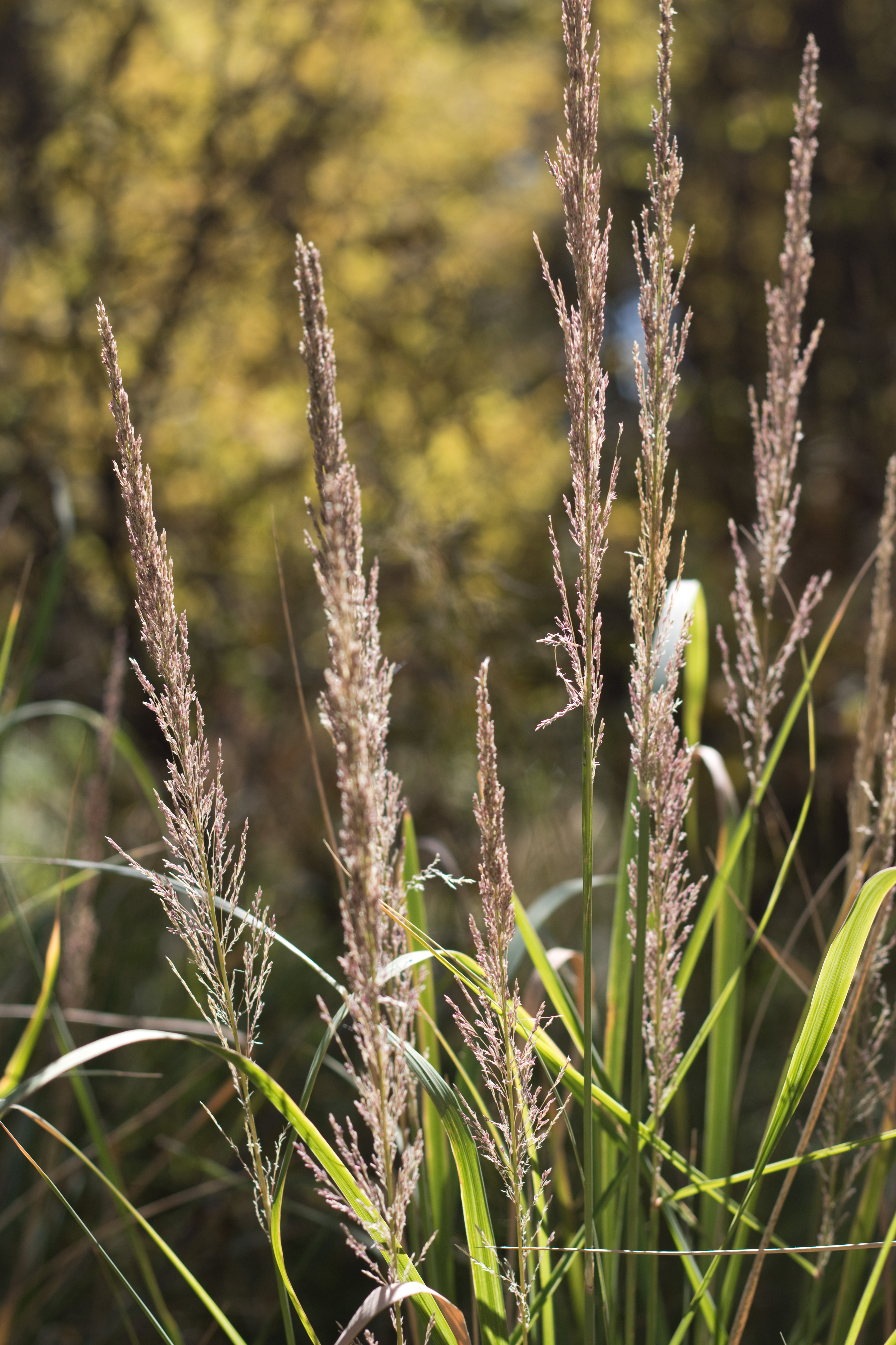
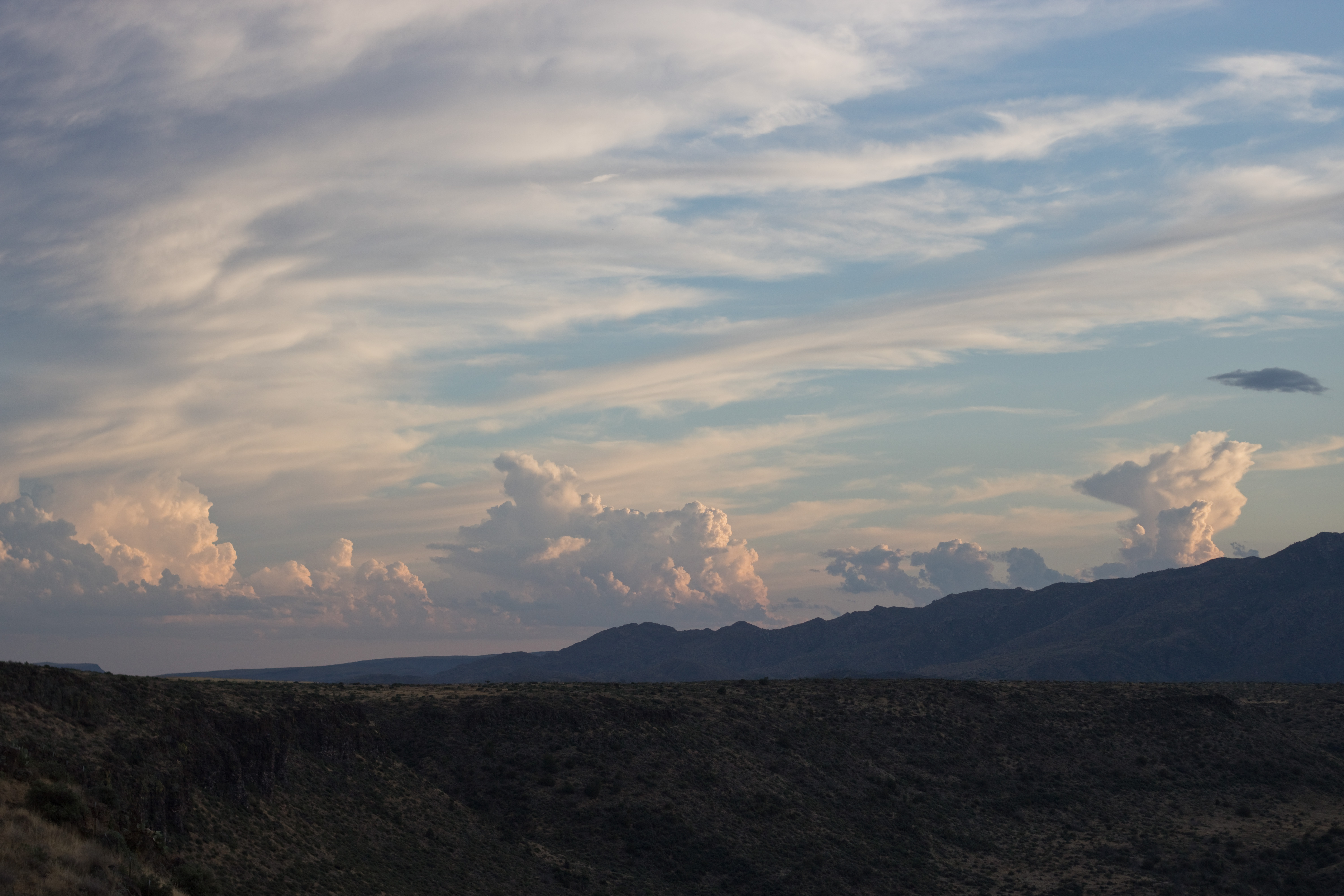
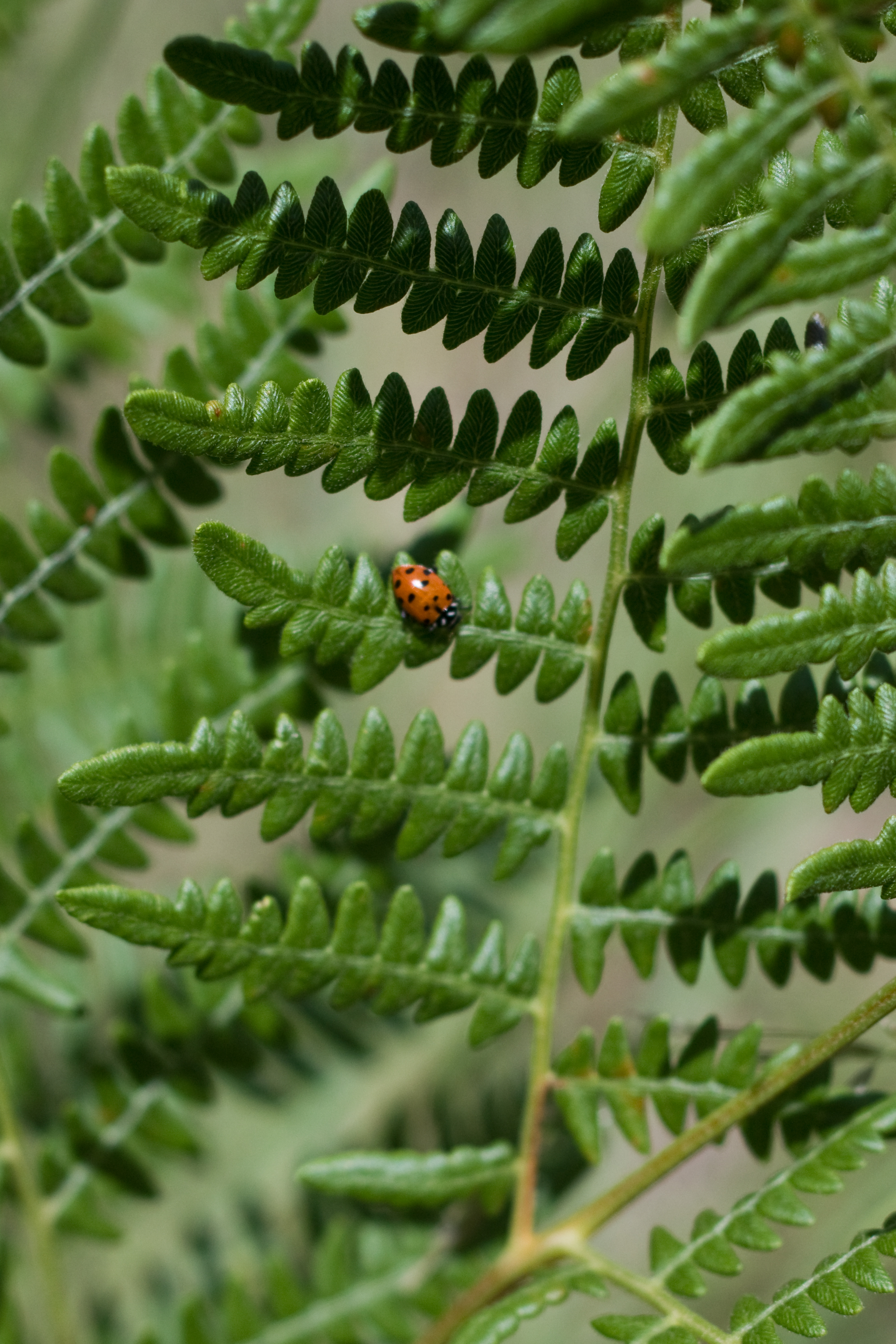
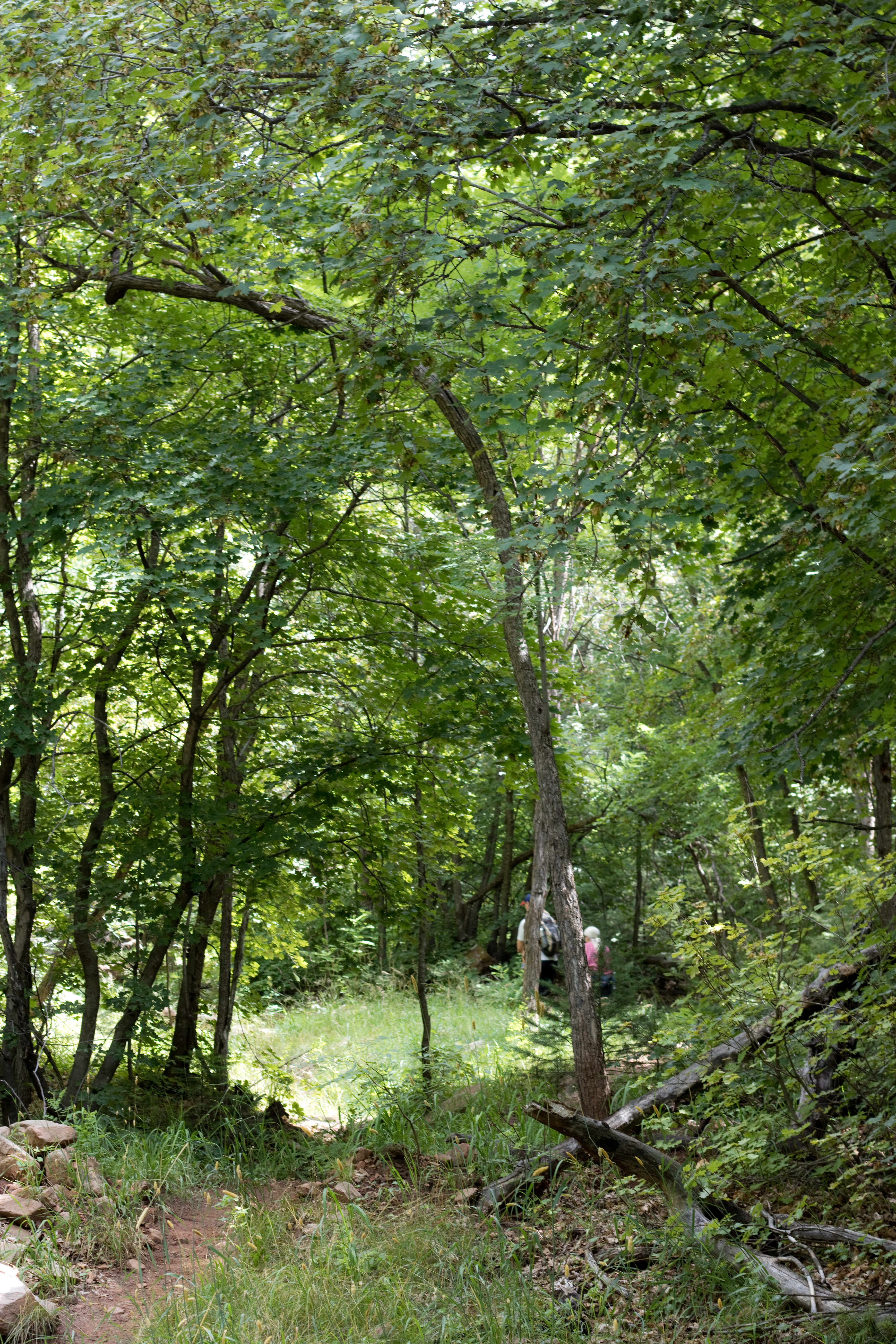
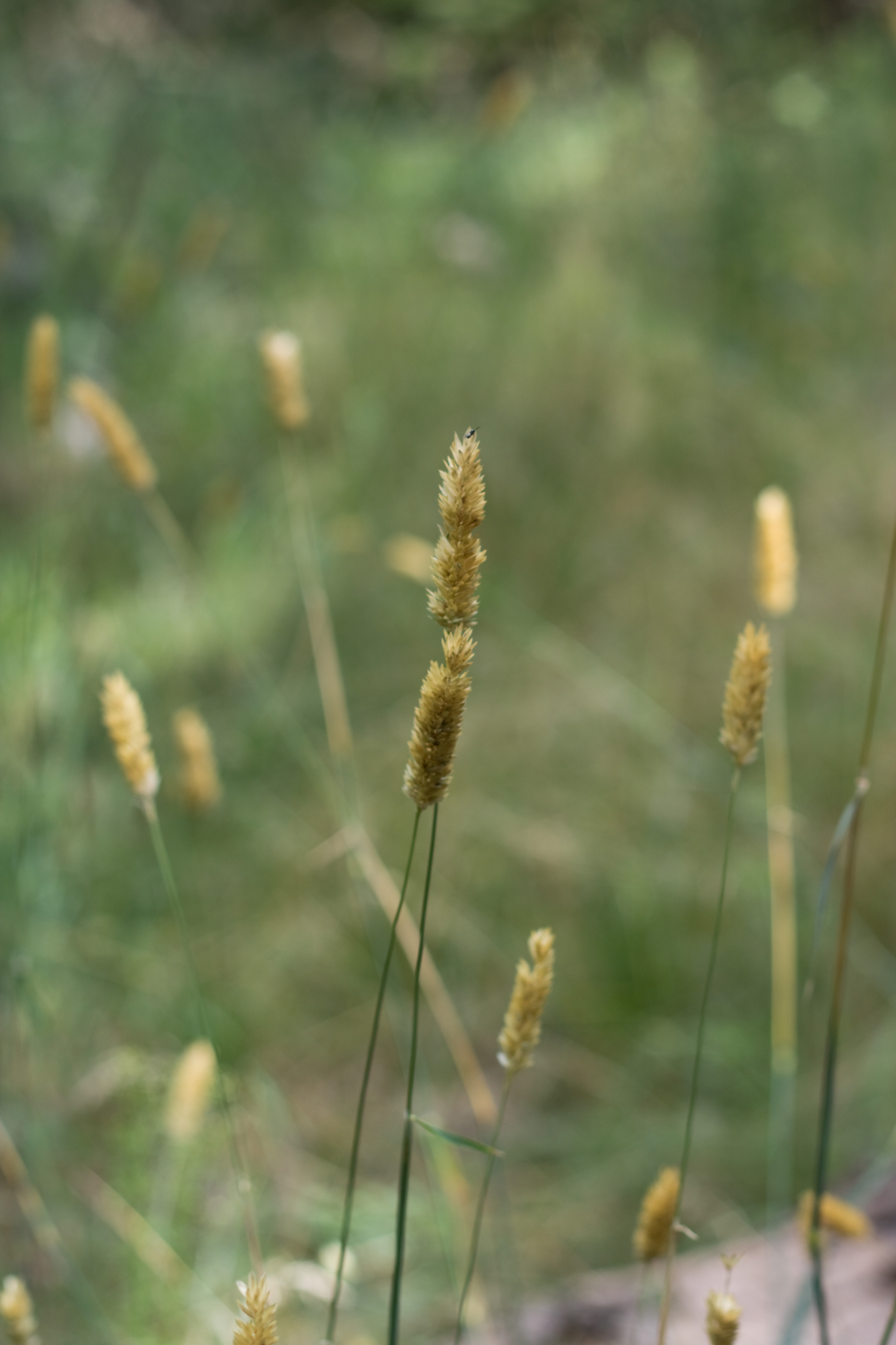
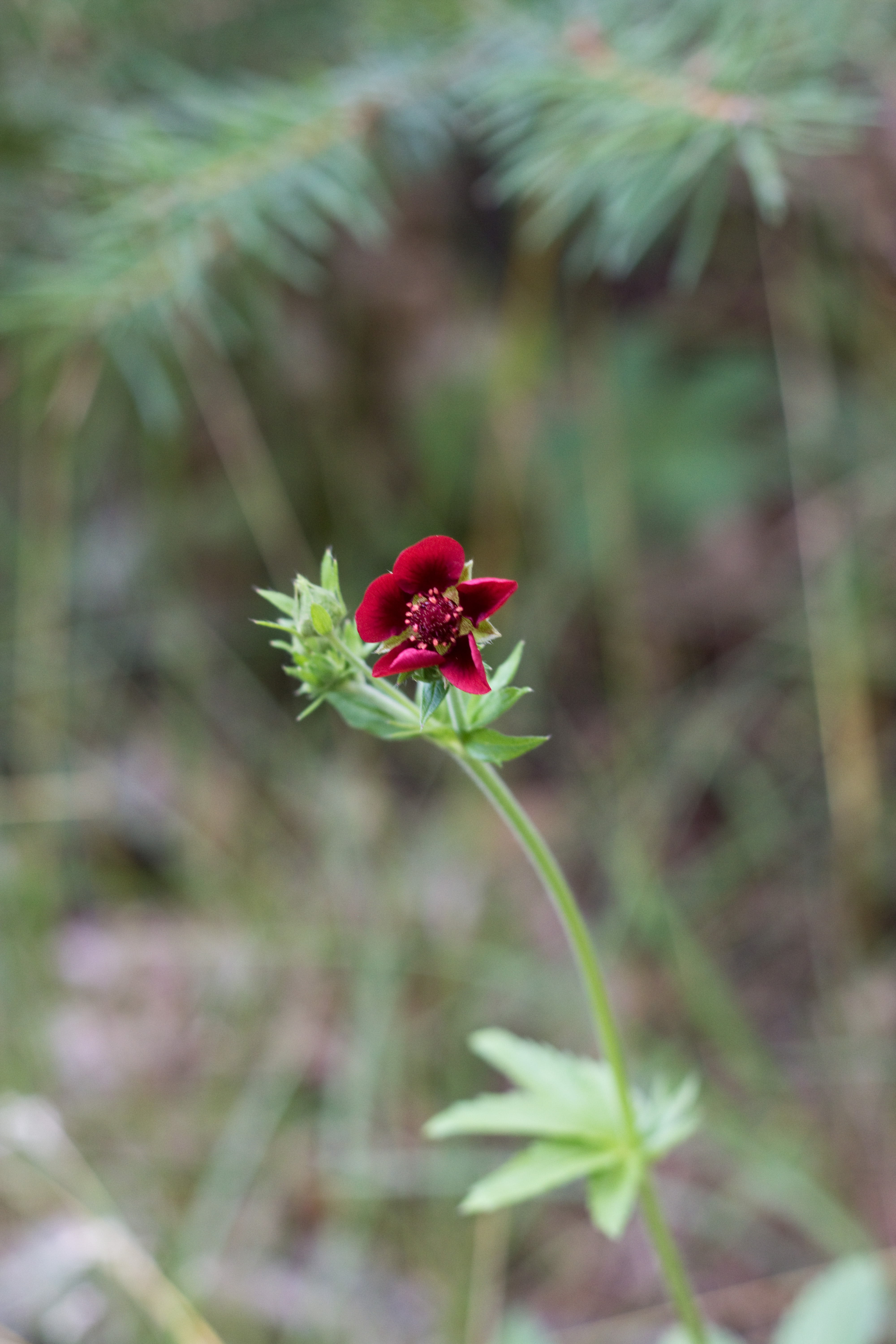
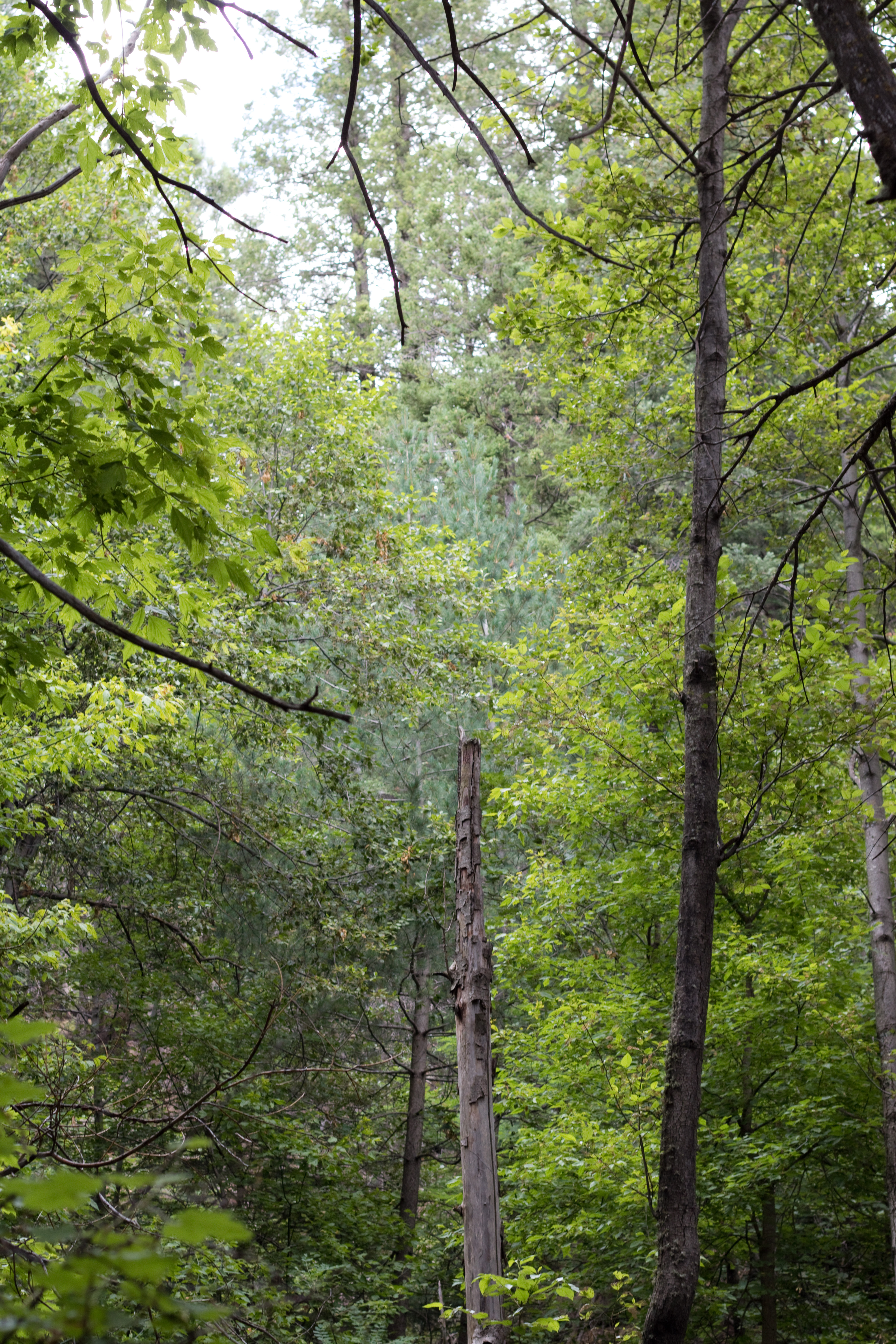
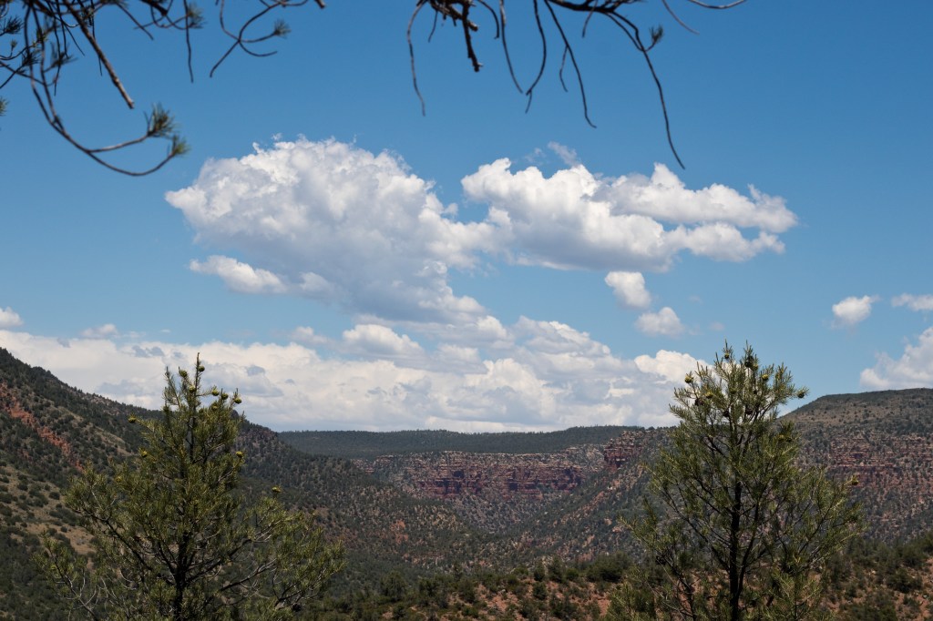
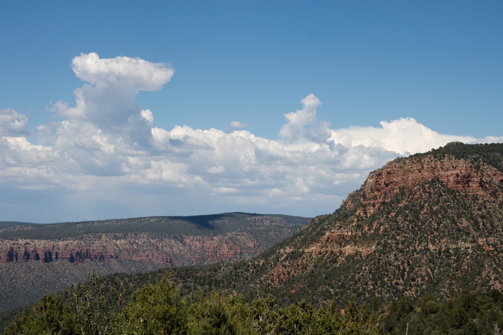
The majority of the hike is through a region of arid high desert – there is very little shade, the air is thin, the sun is hot, and the grade is steep. The views, however, are gorgeous.

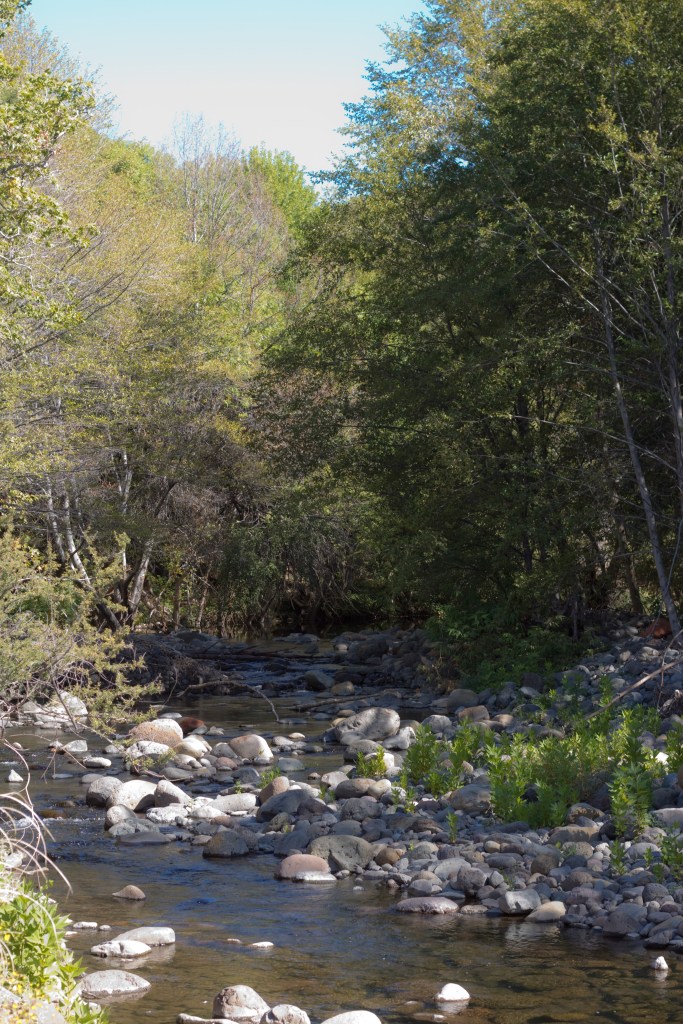
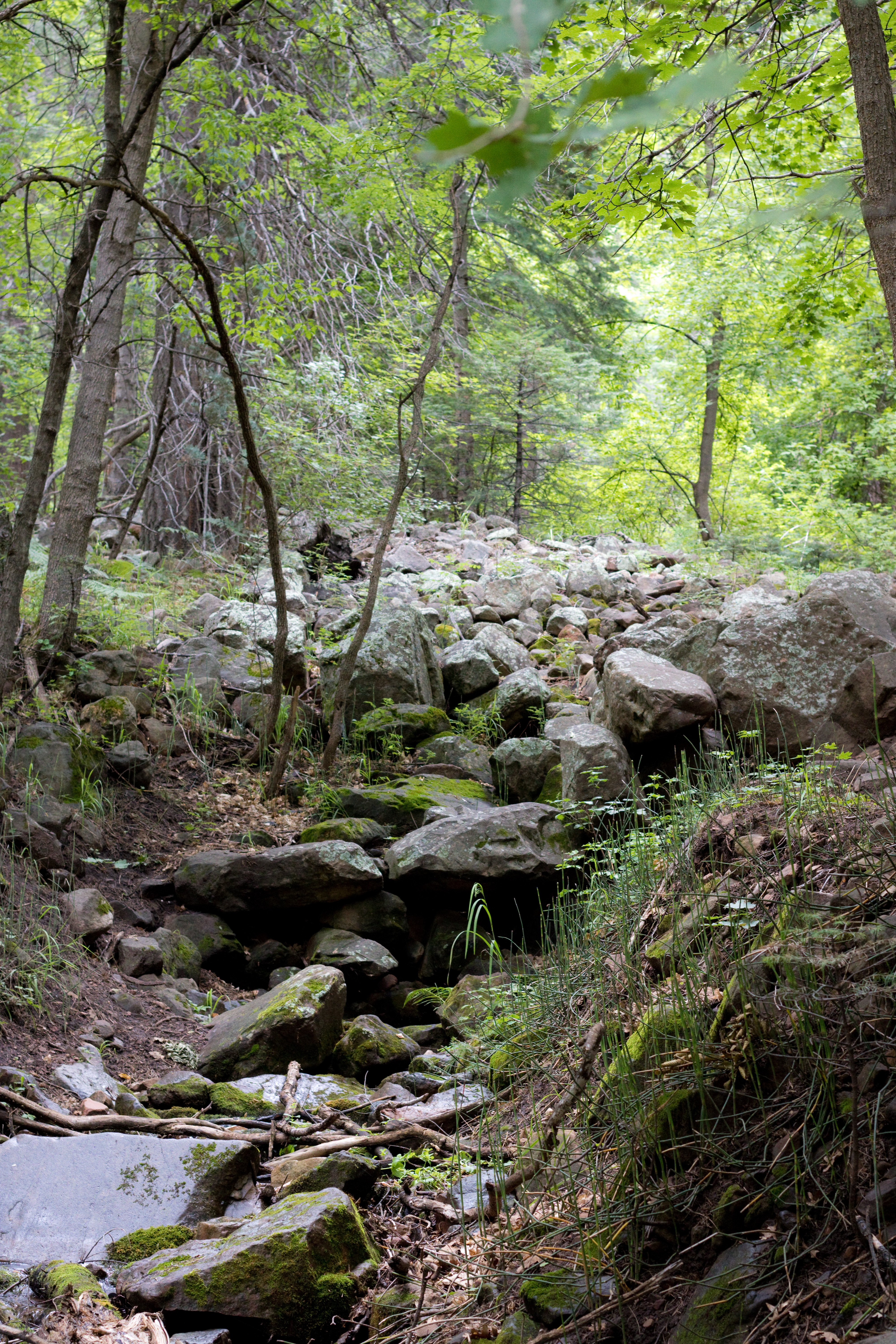
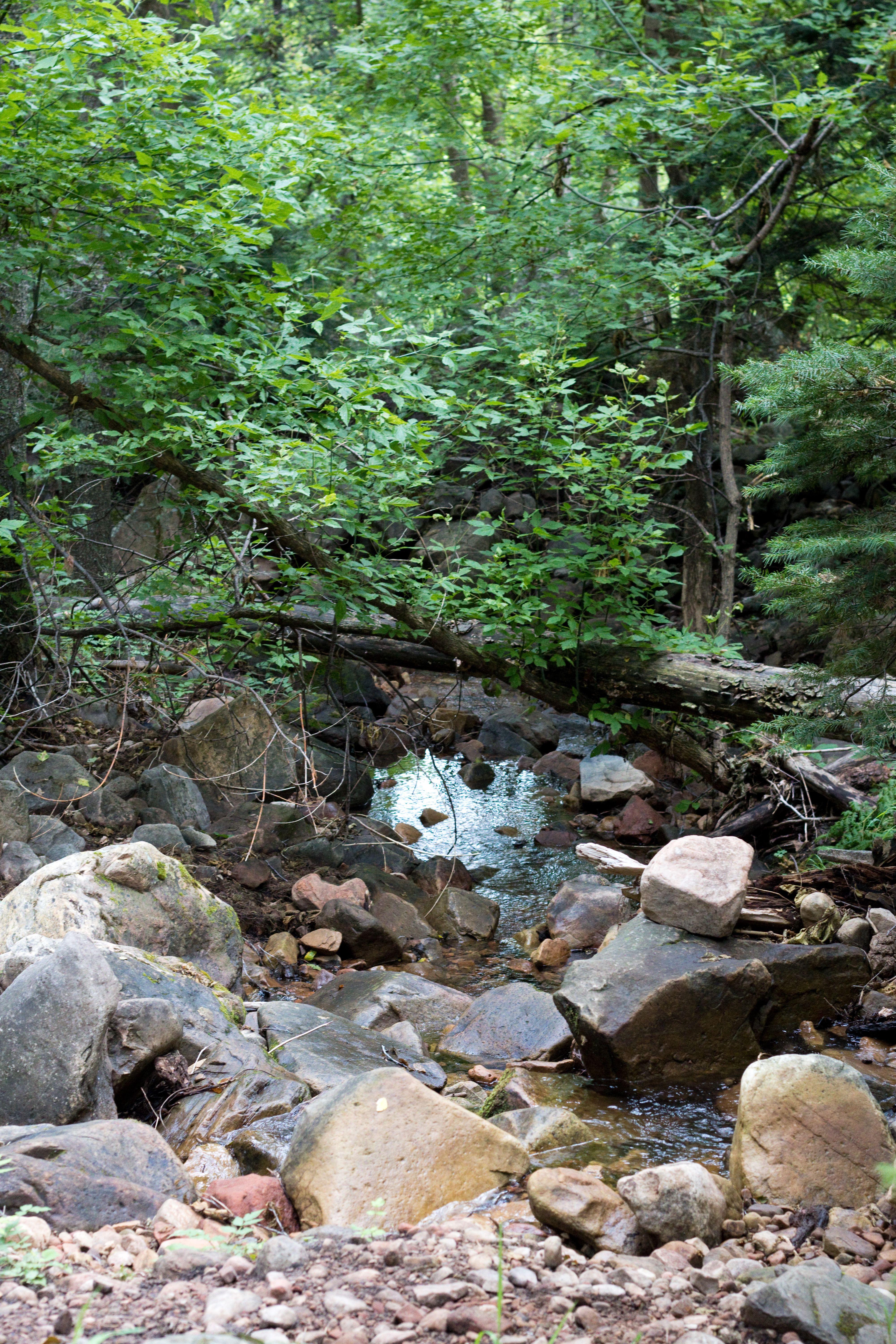
When you finally get to the first crossing over Fossil Creek, at a shallow ford, you’ve finished the hardest part of the descent and have about a mile of cool, lush, riverside hiking left.

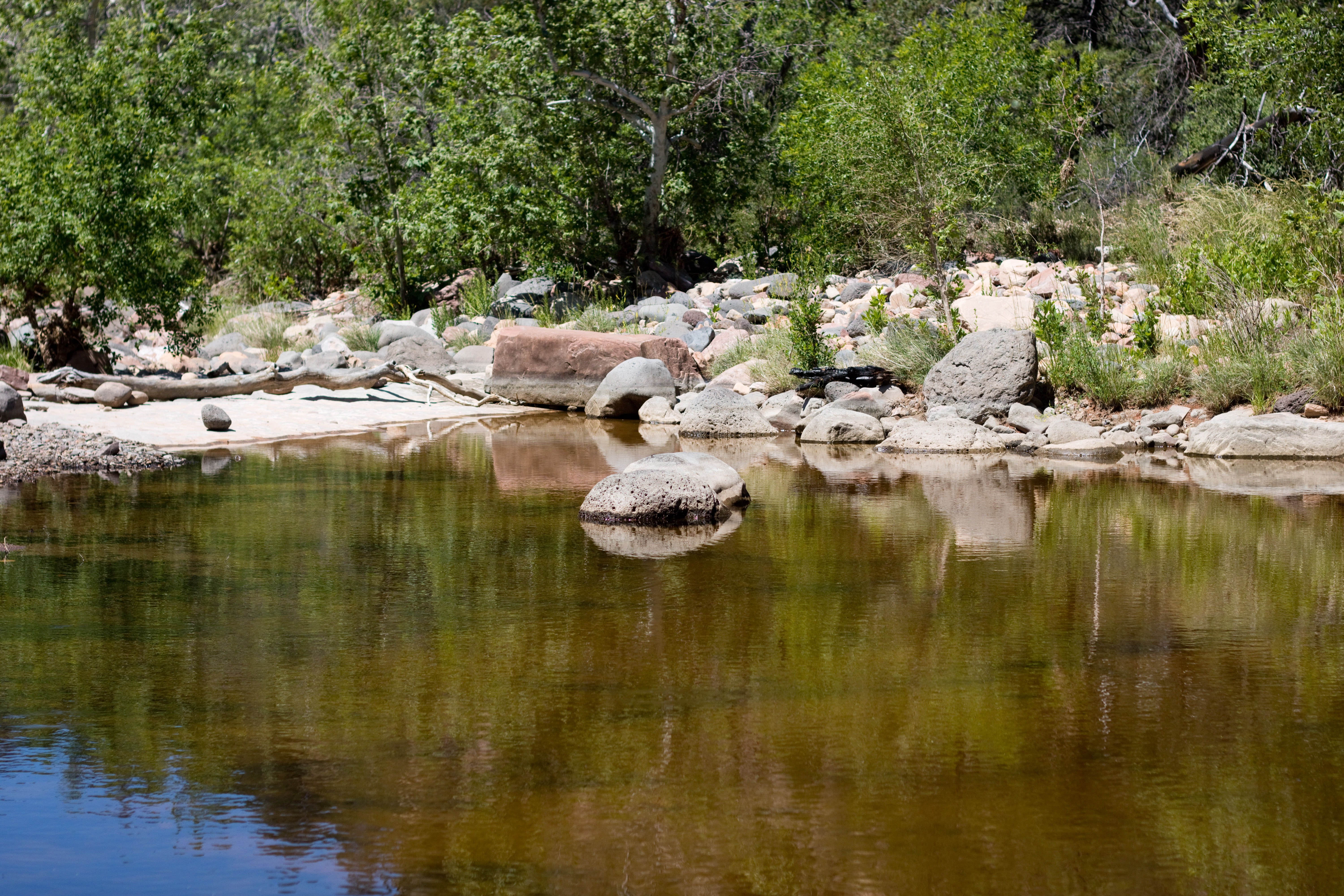
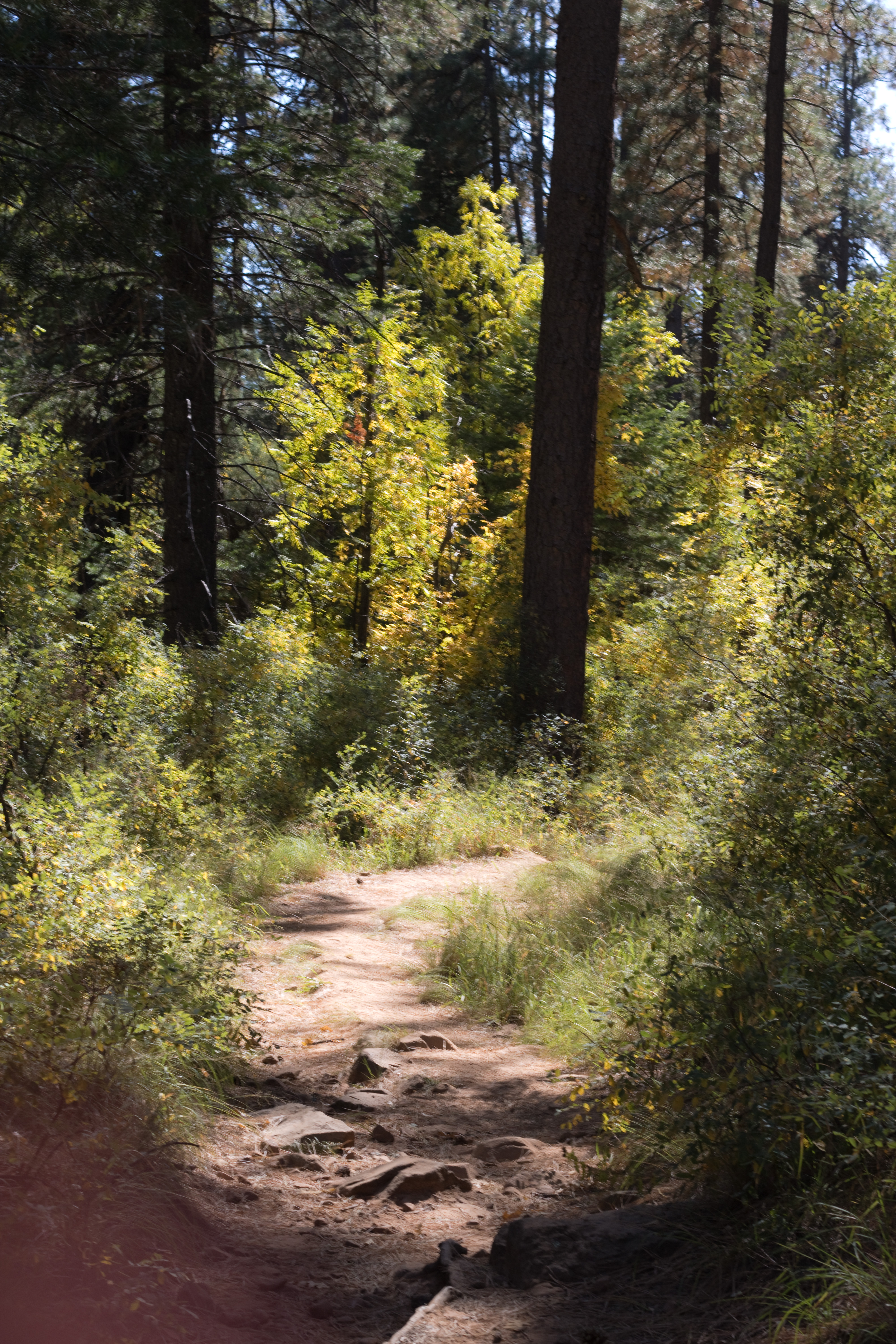
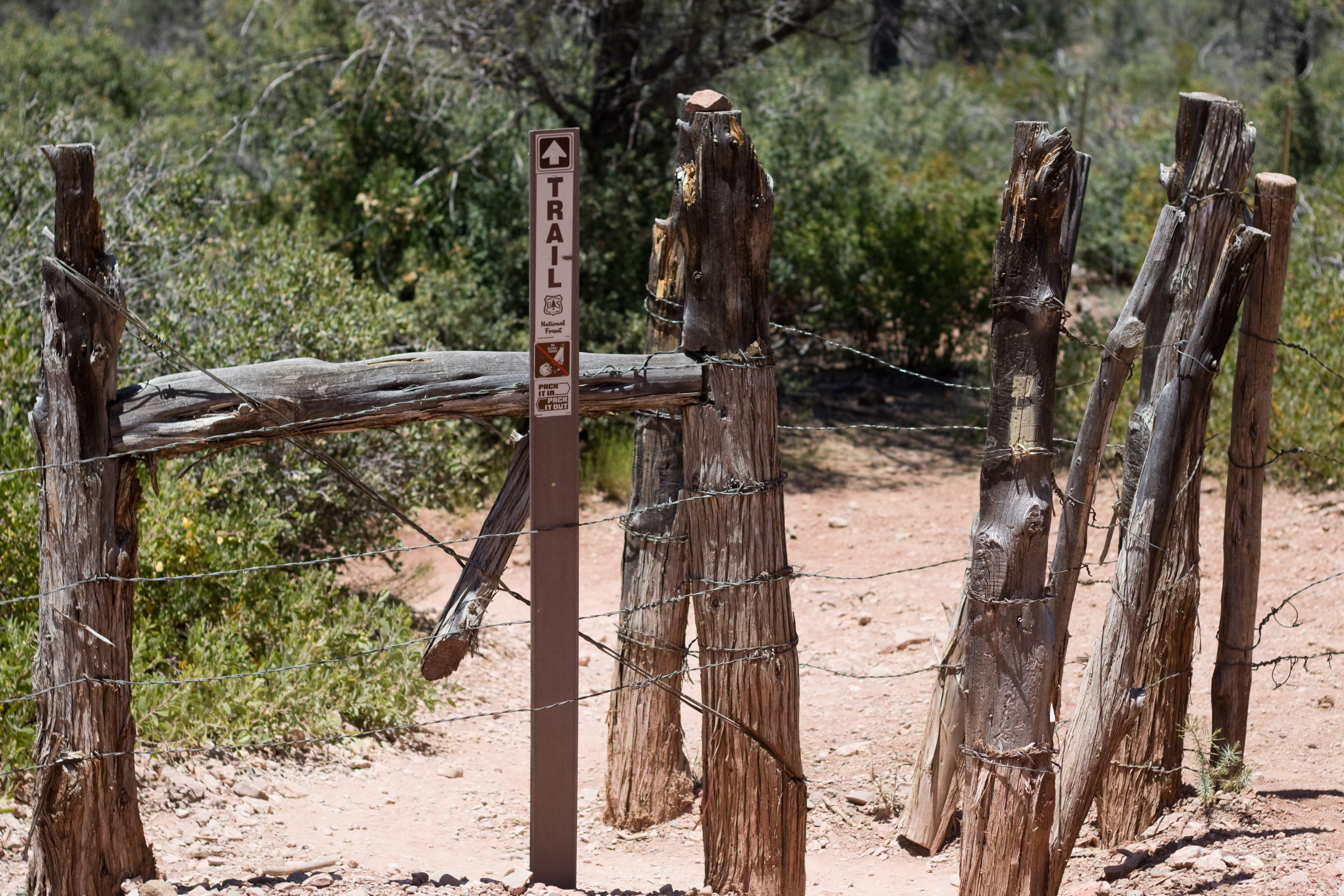
The trail is well-marked, from the cattle fence up in the mountains, to the rocky river crossing, through the undergrowth, and down to the dam itself. At some point along the river there will be option to continue to the spring or to the dam; while neither will take you to the famous Fossil Creek Waterfall, hiking to the dam will take you to a waterfall that is still quite spectacular.

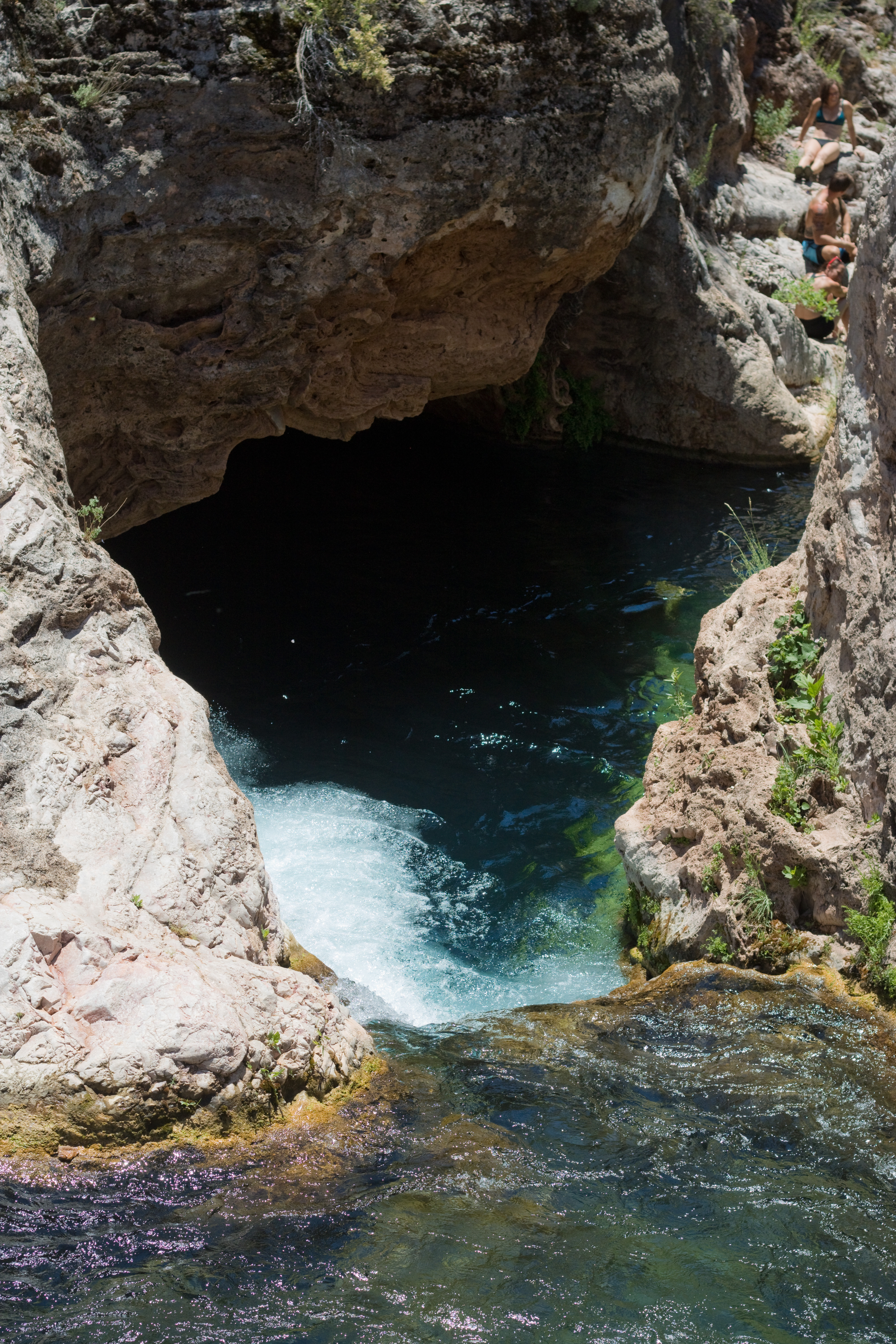
We could hear the waterfall roaring down over the old dam before we reached it; the trail led us around a blackberry thicket to the top of the falls, and we clambered down the rocky canyon sides to the deep pool at its base. The river here was far wider than I’d imagined, and the sheer volume of water cascading over the dam was a stark contrast to the miles of desert we’d walked through to get here.

This is looking down at the falls from the top of the canyon around the pool; you can really only see the bottom half of it, as I brought the wrong camera lens and couldn’t zoom out to get the wider angle.

It had taken us about an hour and a half to hike the four miles down (I think it is really more than four, as the dam is a bit further down river from the spring where the trail map ends), and we spent about an hour just enjoying the water. I tried to swim close enough to the falls to touch the rock through the falling water, but it was far too deep to stand in and the current was strong – I had to swim as hard as I could just to make a small amount of headway, and was pushed about six feet back as soon as I stopped fighting against it. Paul got closer than I did, but even he had trouble dealing with the current.

It may be hard to see, but that is Paul’s head at the base of the falls! He told me it was hard to keep his head out of the water that close to the waterfall.

Outside of that area of turbulence, however, the pool was calm, clear, and cold. I was content to just sit and relax, enjoying the beauty (and the company!), and I could have stayed even longer there than we did. Of all the places I’ve been in Arizona, this is one of the more special and unique – and the cold water is a good reward for the long hike in the heat!

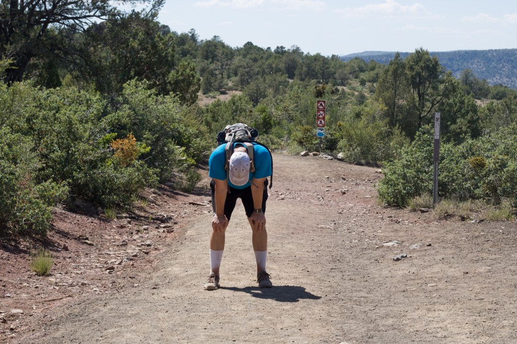
Hiking back out again, however, is when the trail really shows its difficulty. The steep grade of the trail, nothing more than an inconvenience for the knees on the way down, makes the hike up incredibly strenuous. As I didn’t yet have my POTS diagnosis, I wasn’t wearing a heart rate tracker – but there were quite a few times when I had to stop and rest because my heart felt like it was racing so fast it was almost fluttering. Paul wasn’t any better off, the elevation and exertion combining to completely exhaust him. We wore off the chill of the creek by the end of the first mile, and I ran out of water with at least a mile to go (fortunately Paul had extra, since his pack was bigger).

I do better with steep inclines than Paul, possibly because I’m lighter, but I honestly didn’t feel much better than this when we finally made it back up.

Despite the difficulty, I highly recommend this hike and would go back in a heartbeat if I had the chance. The waterfall at the bottom makes everything worth it. I would, however, carry more water…

How to get there: from Payson, drive 18 miles north on the US-87 to Strawberry, then turn left on to Fossil Creek Road. The Bob Bear Trail parking area will be on the right in about 5 miles.

Permits: Parking permits must be purchased in advance from the Bob Bear Trailhead page on Recreation.gov, April-September. The trails have had limited availability through the pandemic but were still open when I last checked.

Posted in family life, hikes

hiking with littles: mormon trail to fat man’s pass and hidden valley tunnel

January is really an exceptionally good time to hike the low desert – the sky is clear and brilliant blue, the little cool-weather ground plants are green, the breeze and the shadowed rocks are crisply cool, and the sun is cheery and invigorating. So I took advantage of some extra adult helping hands and decided to attempt a trip to Fat Man’s Pass and the Hidden Valley Tunnel on South Mountain. (Actually, I had intended to go alone with the kids, but my parents wanted to come too and I’m very glad they did!)

There are multiple ways to get to Fat Man’s Pass, but because Limerick is an avid climber I thought we’d try starting at Mormon Trailhead, where the trail climbs steeply upward for 1.3 miles before leveling off and descending to Hidden Valley. I may have underestimated just how steep it was… but the kids did really well! Aubade trekked up almost the entire first leg of the hike on her own two feet, and Limerick charged ahead and even took detours to boulder off on the side.

Limerick was so happy about climbing out this high that he actually let me take a picture of him!

One of the benefits to hiking so steeply up the side of the mountain was the view gained by such a rapid increase in elevation. We could see out to downtown Phoenix and over to the ASU Tempe campus, even while looking up towards the mountain let us see beautiful desert slopes.

It was definitely helpful to have an adult paired with each child for this trail, however. It was also helpful to carry a lot of water, despite the cool weather, and plenty of snacks for well-timed breaks. Jackets, on the other hand, while comfortable at the trailhead, quickly became just extra weight to carry – hiking in the open sun gets your body warmed up fast!

Rondel hiking with my dad 🙂 We mixed up the pairings throughout the hike but Rondel really loved getting to talk with my dad when they were together.

Towards the top of the mountain, Mormon Trail comes to an end at a junction with National Trail, and there is a turnoff to the left for Hidden Valley Tunnel. While you could turn in here and go through Hidden Valley beginning with the tunnel and ending with Fat Man’s Pass (giving yourself a longer descent back to the trailhead afterwards), we followed National Trail about a quarter of a mile longer to the turnoff for Fat Man’s Pass. After the sun and heat of the trail, the pass feels almost frigid, the eerily smooth rocks around the narrow path very cold to the touch; it is quite refreshing, and the pass itself is really fun to play in. The kids ran back and forth through it for a long time, and we ate a picnic lunch in the shadow of the overhanging rocks behind it.

From Fat Man’s Pass, the trail meanders down through flat sandy washes towards a tumble of rocks through which hikers must clamber or slide. When you approach them, it appears that the trail has reached a dead end, but don’t give up! Going to the left and through an opening in the rocks leads to a series of short slides; going to the right involves a short climb and a trail down to the bottom. I convinced the kids to come with me on the right to show my dad that it was an actual safe trail, but then they saw my mom sliding down the left side and climbed back up so they could go the “fun” way 🙂

Aubade playing in the sand at the edge of the upper half of Hidden Valley – the rocks behind her conceal the path down towards Hidden Valley Tunnel

The rock barrier between the upper and lower sections of Hidden Valley are really a fun place to climb around – I came with some friends back in college (we must have taken some other trail to get there since I don’t recall either Fat Man’s Pass or Hidden Valley Tunnel) and we spent a lot of time clambering up and down the boulders and joking about it being a great place to pose for an album cover photo. Aubade kept marching up to every tall rock she saw and doing her best to get to the top of it, giving my poor dad much anxiety while being exceedingly cute, oblivious, and self-confident.

When we reached the lower end of Hidden Valley not long after, we found the tunnel filled with other hikers so we didn’t stay long, unfortunately, and I didn’t get any good pictures. It is a really neat place, though – the rocks have made a literal tunnel leading out of the valley, long and thin (though not nearly as narrow as Fat Man’s Pass!) and cool, the rocks again polished slippery smooth.

Then it was back up to National Trail and a short ways to the junction with Mormon Trail, and the long (for tired little kids) descent down the mountain. Every few tenths of a mile there was a trail post with a picture showing how far you were from the bottom or the top of the trail, and Limerick and Rondel took great encouragement from these as their energy wore out – it was a great way to visually confirm that the end was getting closer! Aubade did have to be carried down as she was completely exhausted, and ended up napping on my mom’s back (we had been alternating the carrier – I had it most of the way up without Aubade, and my mom got stuck with it going down. She does have better knees though…).

Limerick explaining to Rondel that this trail post meant they were at the end of the trail! All the red on his face was chapping solely caused by the time spent hiking, a combination of the wind, sun, and stimming 😦

According to the South Mountain Trail map, the total distance of the loop was about 3.4 miles; according to my mom’s Apple watch tracker, it was 5.5 miles. My guess about the discrepancy is that the trail map measures the flat distance traveled, while the Apple watch measures the actual distance traveled, including the vertical aspect – which was not insignificant on this trail! The hypotenuse of this particular triangle was quite a bit longer than the base 🙂 Either way, it was the longest trail the kids have every hiked, and I wouldn’t recommend doing it with more than one little without help (I could have hiked with Rondel and either one of the others, for instance, most likely, but definitely not all three). However, if you can do it I would encourage you to go for it! Hidden Valley is worth the trek to get there, and the Sonoran desert is beautiful this time of year.

How to get there: from the I-10, exit on Baseline Rd and drive west till 24th Street. Turn left and continue south till the road turns left and becomes Valley View Dr. The trailhead is to the right very shortly after. It does fill up quickly on weekends, but there is roadside parking available on 24th Street. There are no bathrooms or water at the trailhead, so come prepared! Mormon Trail is the only trailhead, and the path is well-marked the entire way except through Hidden Valley itself.

Posted in hikes

fall in arizona: lamar haines memorial trail

While in Flagstaff at the end of October, we took a day to hike around the aspens. I don’t think I’d seen the aspens in the fall before, and I was amazed at how brilliantly gold they were.

We hiked the Lamar Haines Memorial loop up towards Snow Bowl, and found it to be both beautiful and easy enough for the kids. (Actually, it was so easy that Limerick lost interest in it for part of the time… he isn’t happy unless the trail is letting him clamber over logs or boulders!) About midway along the loop there are some old buildings remaining from the Lamar Haines homestead, which Rondel especially enjoyed exploring, as well as a few lean-to style tree forts. Rondel could have stayed in the forest all day building with the loose branches.

One of the most unexpectedly beautiful aspects of the trail was the way the sunlight would catch the aspen leaves as they swirled down from the highest branches in the wind, like golden snowflakes settling softly to the ground.

While it would be difficult to visit this trail on a day trip, at least while the kids are still so little and struggle with long car rides, it is definitely a good hike for catching a glimpse of the aspens in autumn, and is easy enough for even the most casual hiker (though I don’t think the trail is quite smooth enough throughout the entire loop for a stroller, it is close). Hiking in the last weekend of October, we found that many of the aspens had already dropped their leaves – but as is evident from the pictures above, many of them were still in full golden array. My guess is that you could go any time from mid-October to early November and still see the fall colors.

How to get there: From Flagstaff, take highway 180 north to Snowbowl Road. Turn right onto Snowbowl Road and follow it for about 4 miles until you reach a pull-off on your right. There is no designated parking, just a short inlet with space on both sides. The trailhead is quite close to the main road, and is marked by a gate and two signs so you can easily confirm you’re in the right spot!

Posted in family life, hikes

fall in arizona: see canyon spring trail

When we hiked part of the See Canyon trail this summer, I noticed a lot of maples along the trail – and maples mean red leaves in the fall, so I made a mental note to revisit the trail if possible. We went back on October 19, which was probably on the early end of the colorful season, but the trail was still absolutely beautiful and we were all excited to see the changing colors.

The maples weren’t the only color, either – the oaks were a stunning brilliant yellow, not yet turned to their more subdued brown.

I collected a handful of leaves as we hiked and brought them home to preserve. Do you have a favorite way to preserve leaves? My mom has a few that have lasted over twenty years, and when you hang them on the windows the light shines through them. They’ve been some of my favorite decorations my whole life – but none of us remember how exactly she preserved them! I dipped this set in beeswax, and while they definitely aren’t the same as my mom’s, they feel and look quite nice, I could easily use them in a wreath or centerpiece since there is no excess edging as there would be with something like contact paper, and the kids can touch and play with them if they want. It was really simple to do, as well – I just melted the beeswax in a double boiler, dipped the leaves in so both sides were coated, let them drip dry for a few seconds, then set them on wax paper to cool.

Since the trail didn’t change from our hike in August, all my thoughts (and directions!) from then still apply 🙂 We did, however, go down the standard See Canyon Trail for a short while on this hike, instead of trekking all the way up to the spring, and that was a beautiful area of the forest as well. Aubade took another nap but at least this time we brought the hiking backpack, and Limerick got a bit cold but he was ok using my jacket. All in all, I still love this hike and would go back again in a heartbeat when the kids have the endurance to manage the whole canyon!

Posted in family life, hikes

hiking with littles: wet beaver creek day use area

It is good to simply be – to be present, to be at peace, to be free.

This is something I try to give to my children: freedom, space for wonder, opportunity for exploration and self-determination, time to be young and wild among the wild things of the earth.

Chores, deadlines, busy schedules, impatient adults – they all can make it hard to leave no stone unturned in the quest for interesting bugs (not to mention that riparian areas tend to have much more fascinating bugs than our urban desert backyard!).

Home is good, and safe, and stable – but unless you go out adventuring you will never stumble across pools to wade in, rocks to splash, logs to climb, and leaves as big as your head.

And when you begin, you may find that every bend in the river is calling you forward, over boulders and brush, through shadow and sun, to discover the unknown ahead.

Or perhaps it is the curve in the path that beckons, as it winds through the grasses underneath an archway of leaves.

The wild around you may make you feel small, dwarfed by the solid rock beneath your feet and by the broad, tall trees rising overhead, in whose roots alone you could take shelter.

Yet it is that same grandeur and size that makes overcoming those wild obstacles such a meaningful feat, such a source of delight and satisfaction – no worksheet or artificial task can hope to compare.

You learn to ask for help when the problem is too large to handle alone; you learn to stretch and bend and serve when your friend needs help that you can give. And in the serving, you come to find joy, and in the receiving, you find joy as well.

And when you cannot find the trail that others made, you go where beauty and danger call, where the challenge and reward are equally great, and never count the loss of what might have been for the thrill of the wandering.

How to get there: As you may have guessed, we didn’t exactly follow a trail on this adventure! Instead, we used the Wet Beaver Creek day use area as our base and spent five hours exploring the surrounding area. To get there from the valley, take the I-17 N through Camp Verde, exiting onto the 179N toward Sedona at exit 298. Almost immediately, turn right onto FR618 and follow for 2.4 miles until you reach the day use area on your right. There are several one-lane bridges, but the road is paved the whole way. The day use area has no fees and a couple port-a-potties and picnic tables.

If you do want to take an established trail (and I’ve heard this one is good, although I didn’t locate it until we were leaving), you won’t need to stay on FR618 quite so long, instead turning left into the Beaver Creek Work Center and parking near Bell Trailhead. This is a 3.5 mile trail leading to a swimming hole, so it’s probably better for older kids.

Posted in hikes

hiking with littles – butte creek trail (and some explorations)

Since I’ve almost exclusively hiked the Payson area with my kids (they do have the best creek systems that I know of, after all), I wasn’t quite sure where to start in the Prescott area. Thinking that simplest would be best, I decided on the Butte Creek Trail, starting in the Stricklin Park preserve.

Trailhead sign for the Butte Creek Trail

This is very much a town trail, not a wilderness area at all – the trailhead is in a neighborhood, and part of the trail runs adjacent to a golf course and some backyards – but it is still wooded and beautiful. For a short hike with little kids for whom any forested and natural area is novel and exciting, it was fine, but I wouldn’t make a point of returning on my own unless I lived in Prescott (it’s a nice trail, but not worth a 2 hour drive all by itself).

The trail did have some bridges, which captivated all three of the kids, lots of rocks to turn over with cool bugs underneath, a little creek which probably has running water after heavy rains, and the aroma of ponderosas (all fresh and sharp with the after scent of rain when we were there, as a cloudburst caught the area five minutes before we found the trailhead and parked). Rondel came prepared with a backpack full of small containers to catch insects or to store small treasures – but he ended up disliking the way it felt on his back, so he carried it in his hand the whole hike.

We also happened upon a prickly pear flush with ripe red fruits, and recklessly harvested enough to fill the empty front pocket of my hiking bag – reckless, because we had no gloves and had to spend several minutes pulling prickles out of everyone’s fingers, Aubade excepted (and she was the only one who wanted to drink the juice afterwards!)

While Butte Creek Trail was fairly short – we spent only a couple hours on it – we stumbled upon Granite Creek Park and stayed there for another few hours, eating lunch, playing on the playground, and exploring the wooded areas around the playground (I didn’t get any pictures, unfortunately, but it was a beautiful park – it reminded me of upstate New York, in a lot of ways). Rondel found SO MANY gigantic cicada exoskeletons, and I could only drag them away, in the end, with a promise of ice cream.

And ice cream we had, at Frozen Frannie’s in downtown Prescott, followed by a walk around the courtyard square investigating all the art and curio shops – one of the art galleries captivated the kids so much that even though Limerick was exhausted to the point of barely feeling up to walking around, he still kept commenting on and trying to examine all the different sculptures and paintings. I think we only made it out of that one by sheer force of will on my part, powered by my desire to get home before bedtime…

Including our stop at Sunset Point on the way home (around sunset!), it was by far the longest day trip I’ve done with the kids – we got home almost exactly 12 hours after we’d left that morning. Prescott was so new and beautiful and varied that none of us felt ready to leave, other than because we were getting tired, and I am definitely planning on finding other hiking opportunities near there for the future!

Posted in hikes

hiking with littles: see canyon springs

I had the good fortune to stumble across the See Canyon Springs trailhead in time for a hike with Paul and both my parents (before my mom started teaching for the fall semester and while Paul had a week off between jobs). While I always do enjoy hiking with the kids, having all those extra adults makes it easier when little legs get tired or when one kid wants to explore ahead and linger behind to examine the bugs!

The trailhead sign! Several trails begin at the See Canyon Trailhead; while some are long and not safe during the monsoons, See Springs Trail is relatively short (2 miles round trip, approximately) and avoids canyons with flash flood risk.

And the bugs certainly were a highlight of the hike, from the very beginning when we came upon an Arizona Sister butterfly in the parking lot, through the handful of exoskeletons Rondel collected along the way, to the clouds of tiny periwinkle butterflies congregating along the trail on our way back.

The Arizona Sister butterfly is several inches across, velvety black with subtle navy patterning near the body, bold orange patches on the far end of the top wings, and white blotches creating a ‘V’ shape down towards the base of the body. In person, it is stunningly beautiful.

The trail crosses over the river only a few times, but follows close by its course the entire way up to the spring – there was only a short distance towards the middle of the hike where the murmur and rush of the waters was out of earshot. And at every turn there was some new beauty waiting for us. There were lush expanses of ferns, the rich odor of ponderosa in the air, sunlight reflecting off hidden pools through breaks in wooded shadow, mossy rocks with rivulets of clear water streaming around them, deep reddish brown trunks reaching into the sky, clear blue overhead with towering white clouds over the eastern heights.

I could have stayed there forever. (And I think Rondel could have as well. He’s already asked to go back, one of the first hikes he’s ever wanted to repeat.)

We did see a rattlesnake quite close to the trail, but it gave us its courteous warning rattle and we politely respected its space and watched it from a safe distance until it slithered back up into the woods. While there are certainly aggressive animals in the world, rattlesnakes are typically more like bees in that they only attack when they feel threatened, which is reassuring when your six year old is practically squirming to get closer to a venomous wild creature because he’s so fascinated by it…

The Arizona black rattlesnake we encountered – a mature individual, darkened to black on almost its whole body with only small tan stripes on the back. Apparently this species is capable of delivering large amounts of potent venom and should be avoided, as most bites happen when people attempt to handle the snake… not that I plan on trying to pick up any variety of wild rattlesnake, thank you very much.

In addition to being beautiful, the trail was easy enough for the boys to hike (Aubade ended up taking a nap in Paul’s arms – we should have brought the backpack for her), and they were captivated by the nature all around them. Limerick pushed on ahead with Grandma, excited to see what lay around each bend and to play in the water; Rondel meandered slowly with Grandpa, intrigued by each small detail and treasure along the way.

To get to the See Canyon Trailhead from the east valley: take the AZ-87 north to Payson. In Payson, turn right onto the AZ-260E and continue for 22 miles, until you reach the town of Christopher Creek, at which point you will turn left off the highway onto Christopher Creek Loop. Across from the Christopher Creek market, turn left onto FR-284 and follow the road until it ends at the trailhead. Once on the trail, follow the signs for See Springs instead of See Canyon for the shorter, kid-friendly hike – it is well marked. Parking at the trailhead is free and there is a bathroom available.

Posted in hikes

horton springs take 2

Since we enjoyed Horton Springs last year (even though we didn’t really find the actual trail in time to hike it), I took the kids back up on my own this summer.

IMG_3018

The trailhead is across the road from the parking site (which has a bathroom and is free!), up towards the Horton Campground. To get all the way up to the spring itself is a 4 mile hike, so I knew in advance we wouldn’t be doing the whole thing, but the trail follows along roughly beside the creek with multiple opportunities to drop down to the water so it is still good for little kids.

The kids all found walking sticks by the trailhead, and held on to them devotedly for the whole hike (well, the boys did – Aubade traded hers out every ten minutes or so for a new model). IMG_3027IMG_3041 crop

We found a huge old tree reaching across the creek from the trail – Rondel went part of the way across, and Limerick went all the way across the creek until the tree starting sloping more steeply uphill on the other side.

Not too far after the second gate, since the kids were starting to get tired of just walking, we detoured down to the creek and trekked upstream a while. The water seemed to give the kids a new burst of energy, and they watched sticks and leaves float downstream, clambered over rocks, and waded through shallow pools.

Just a short ways upstream, however, we stumbled upon a pool about 3-4 feet deep at the base of a small waterfall, and decided to stay there – swimming in the pool, throwing rocks in to make a splash, and observing the local insects 🙂

After we were done at the pool we hiked back to the trailhead and had a picnic lunch at the parking area – there are a few tables tucked away by a small trail that I believe leads back down to another section of the creek.

Unfortunately, we weren’t able to make our way up the road to the patch of blackberries we’d found last year – the kids were worn out and I wasn’t completely sure I could recall the way from the road without a bit of scouting. So I can’t update my prediction as to when they are actually ripe! I suppose we can just try again next year, when all the littles have longer legs and more stamina 🙂

To reach Horton Creek Trailhead from the East Valley: Take the 87 north to the center of Payson and turn right onto AZ-260 E at the McDonalds; about 16 miles later turn left on Nf-289. The parking area for the trail is on the left just after a one-lane bridge; it is marked and has a vault toilet and picnic tables. To get to the trail, walk back down the road across the bridge and up towards the Horton Creek Campground. The trailhead is at the base of the campground and is well marked.

Posted in hikes

hiking with littles: picacho peak

Now, anyone who has made it to the top of Picacho Peak knows that it obviously isn’t a good hike for small children. The trail is steep and slippery, to the point that there are cables drilled into the rock as handholds to prevent hikers from falling – and it’s an amazing trail if you can do it, but there’s no way I’m going to recommend doing it with three kids five and under!

However, Picacho Peak is one of the most beautiful wildflower sites in the state, particularly during a magnificent spring bloom like the one we’re having this year, so we made the drive down to bask in the beauty along all the short interpretative trails around the base of the mountain.

There were so many poppies. The wild golden poppies that grow here are one of my favorite flowers – like a more glamorous version of the buttercups I loved as a child in the Northeast – and when they carpet the ground it seems to shimmer in the sunlight.

There were patches of lupine as well, their deep blues and purples providing the perfect foil to the golden poppies.

One of the shorter trails led up to a small cave overlooking the valley around the base of the peak, and the kids had a lot of fun clambering over the boulders above the cave, as well as stroking the velvet softness of the poppies and delighting in the presence of the wildflowers (as is only to be expected!).

I really couldn’t have asked for a better opportunity to bask in the desert spring. I would definitely and without hesitation recommend Picacho Peak to anyone who is in the state in the month of March, especially if the preceding winter has been on the rainier side, no matter their hiking abilities – there is something for every level here, and beauty to make it worthwhile even without reaching the summit.

There is a $7.00 entrance fee since the peak is a state park, but there are also covered picnic tables, clean bathrooms, a very nice little gift store/information center (with some fun Southwest themed souvenirs and books), and even a small playground, and the trails are well-maintained – so the fees are apparently being used to good effect here 🙂 My only regret is that I have waited so long to come back since the last time I hiked the peak (with my dad, as a teenager, to the top), and I won’t be making that mistake again.

How to get there from the East Valley: There are a few ways to get started, but whether you take the US-60 or the Loop 101 or the Loop 202, you’ll want to end up on the I-10 E headed toward Tuscon. From there it’s very straightforward – you just keep driving south until exit 219, and then follow the signs into the state park. I believe you can pay the entrance fee with a card if you go into the visitor’s center, but it is simplest to bring cash and pay as you drive by.

Posted in hikes

hiking with littles: superstition mountains – treasure loop trail

Now that our very wet winter has come to an end, the desert has burst into life with a wild spring bloom, and I’ve been trying to take the kids out to see the mountains turned green with wildflowers decorating the slopes. My mood always tends to improve as the colder and grayer season ends (can’t imagine what I’d be like if I lived elsewhere), so I’ve had the energy and motivation to hike again – and the prospect of flowers definitely adds to that motivation!

The day we chose to hike the Treasure Loop trail in the Superstition Mountains was unfortunately cloudy and rainy, so many of the flowers stayed hidden away, but it was still a beautiful hike.

Treasure Loop trail is almost 2.5 miles long and moderately difficult – the trail is broad and well-marked, but it can be steep and slippery in places. We took a few hours doing it… in out defense, we stopped to smell the flowers a time or two (and count their petals, in Limerick’s case):

We also took time to climb up some boulders near the path and pretend to be mountain lions:

190730

And of course we took breaks for snuggles and snacks (the bench at the overlook was really timed perfectly for the kids’ hunger):

190780190784

The cold and wind did make the hike considerably more challenging, as Aubade really dislikes being cold and getting wind in her face (we’ve had this issue on other hikes). Because the trail ended up being a lot colder than our home just 30 minutes away, Aubade wore my jacket for most of the hike, which helped and was adorable but left me rather cold as a result 🙂 I guess it’s just a reminder to check the weather at the actual trailhead before deciding what to wear!

For others considering Treasure Loop, I’d say it would take much less time with just slightly older kids – we were mostly slowed down by Aubade (and our spirit of exploration!). Good footwear is important though as the trail can get quite slippery once you start coming back down the slope. This is a fairly popular trail from what I could tell, based on the number of other hikers we saw on a weekday, but it wasn’t overly crowded. It can be accessed from free parking spots by the First Water trailhead, or through the Lost Dutchman state park for a $7.00 entrance fee (as well as a shorter hike and good bathrooms, both of which were needed with my little hikers). We enjoyed it and I’m sure we’ll be back next spring 🙂

How to get there from the East Valley: take the 60 to Apache Junction and exit on Idaho Road; turn right onto Apache Trail and continue until you reach the entrance to the Lost Dutchman State Park. The entrance fee is $7.00 and the ranger will give you a map of the trails and state park roads/parking lots.