
January is really an exceptionally good time to hike the low desert – the sky is clear and brilliant blue, the little cool-weather ground plants are green, the breeze and the shadowed rocks are crisply cool, and the sun is cheery and invigorating. So I took advantage of some extra adult helping hands and decided to attempt a trip to Fat Man’s Pass and the Hidden Valley Tunnel on South Mountain. (Actually, I had intended to go alone with the kids, but my parents wanted to come too and I’m very glad they did!)
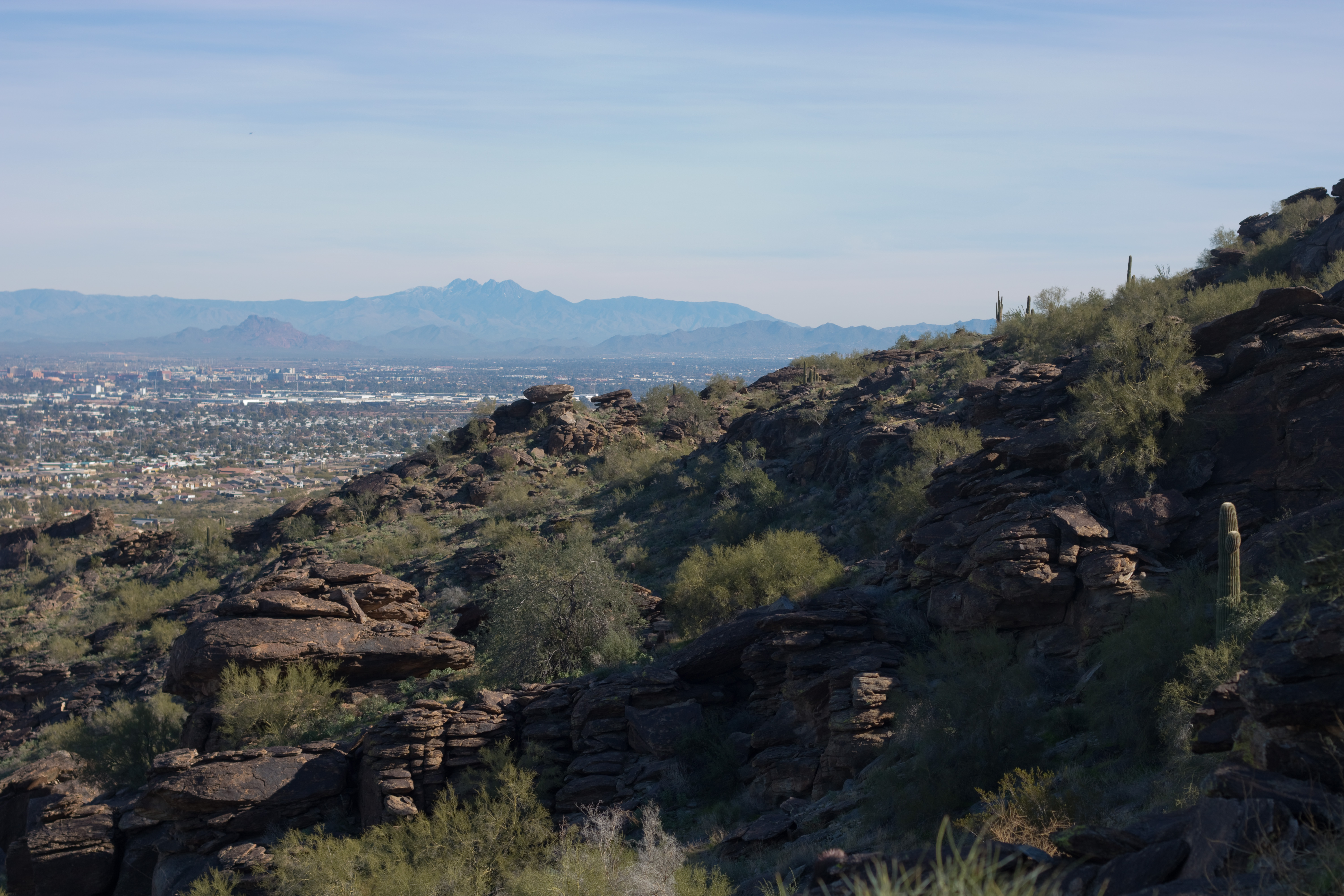
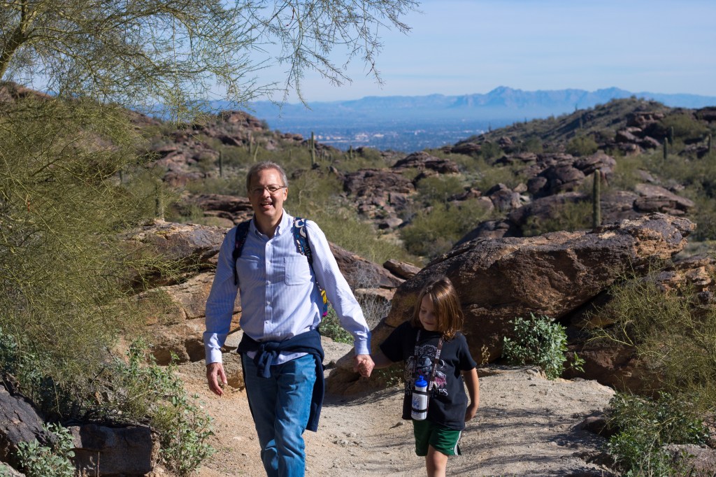
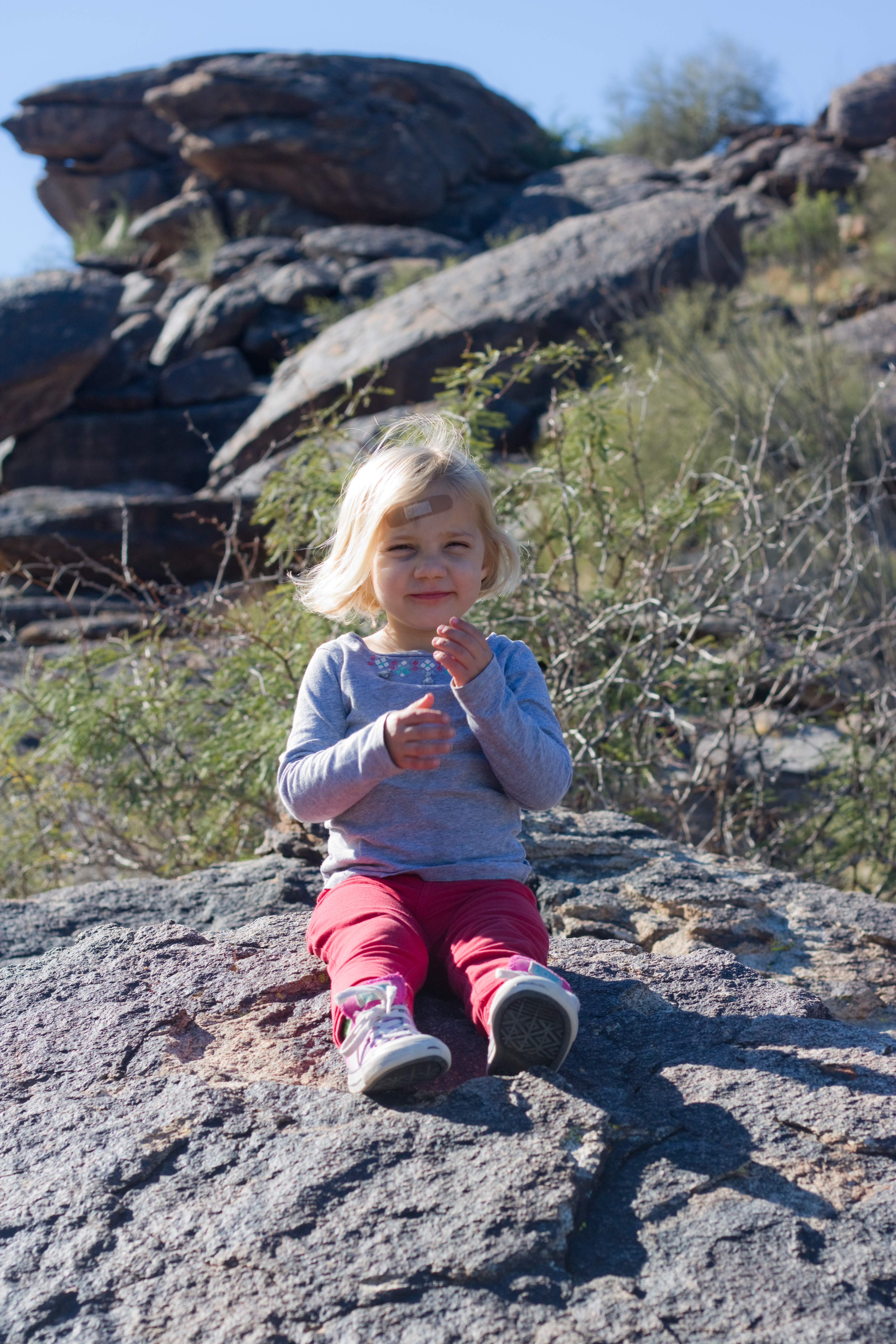
There are multiple ways to get to Fat Man’s Pass, but because Limerick is an avid climber I thought we’d try starting at Mormon Trailhead, where the trail climbs steeply upward for 1.3 miles before leveling off and descending to Hidden Valley. I may have underestimated just how steep it was… but the kids did really well! Aubade trekked up almost the entire first leg of the hike on her own two feet, and Limerick charged ahead and even took detours to boulder off on the side.

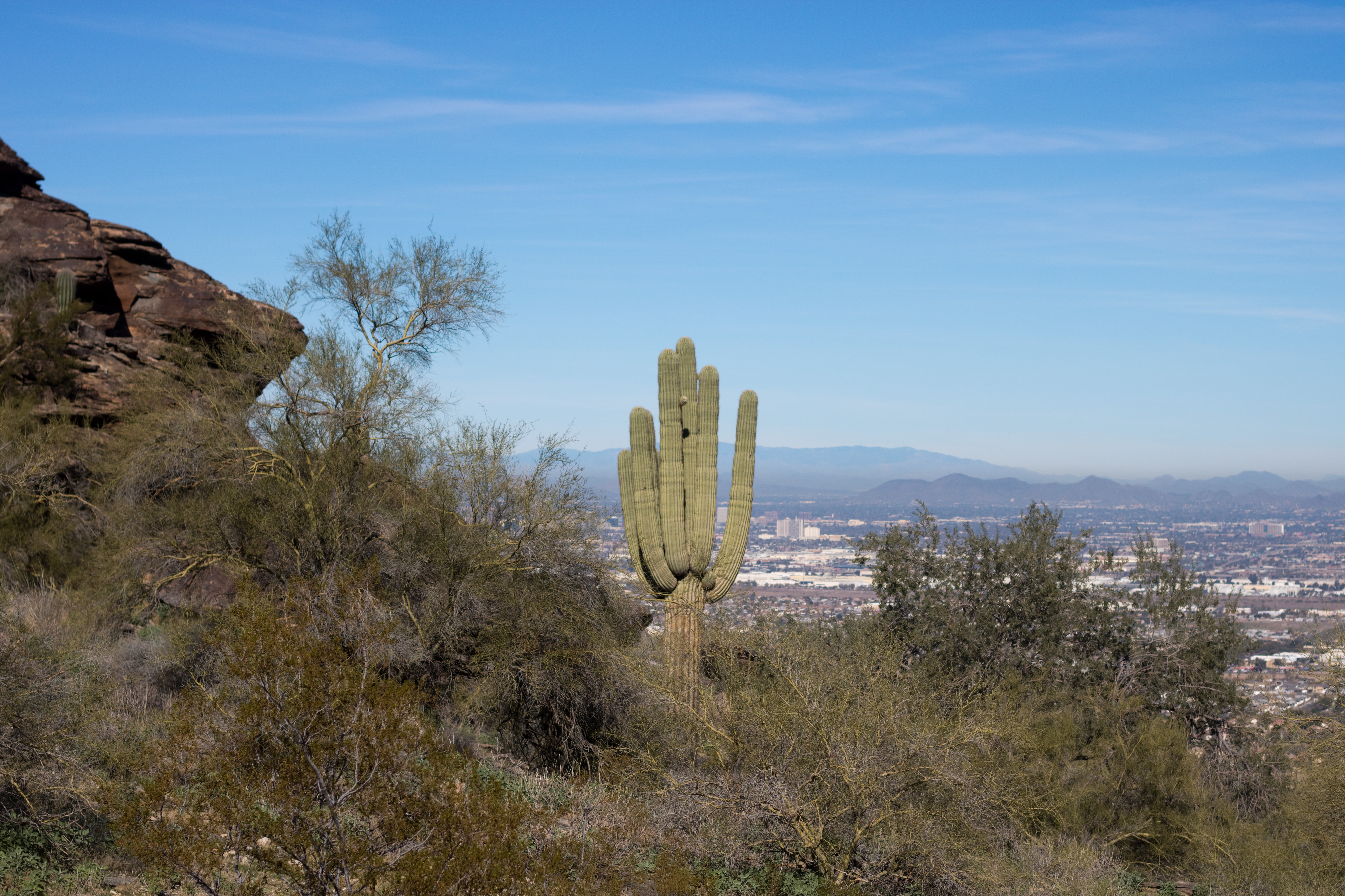
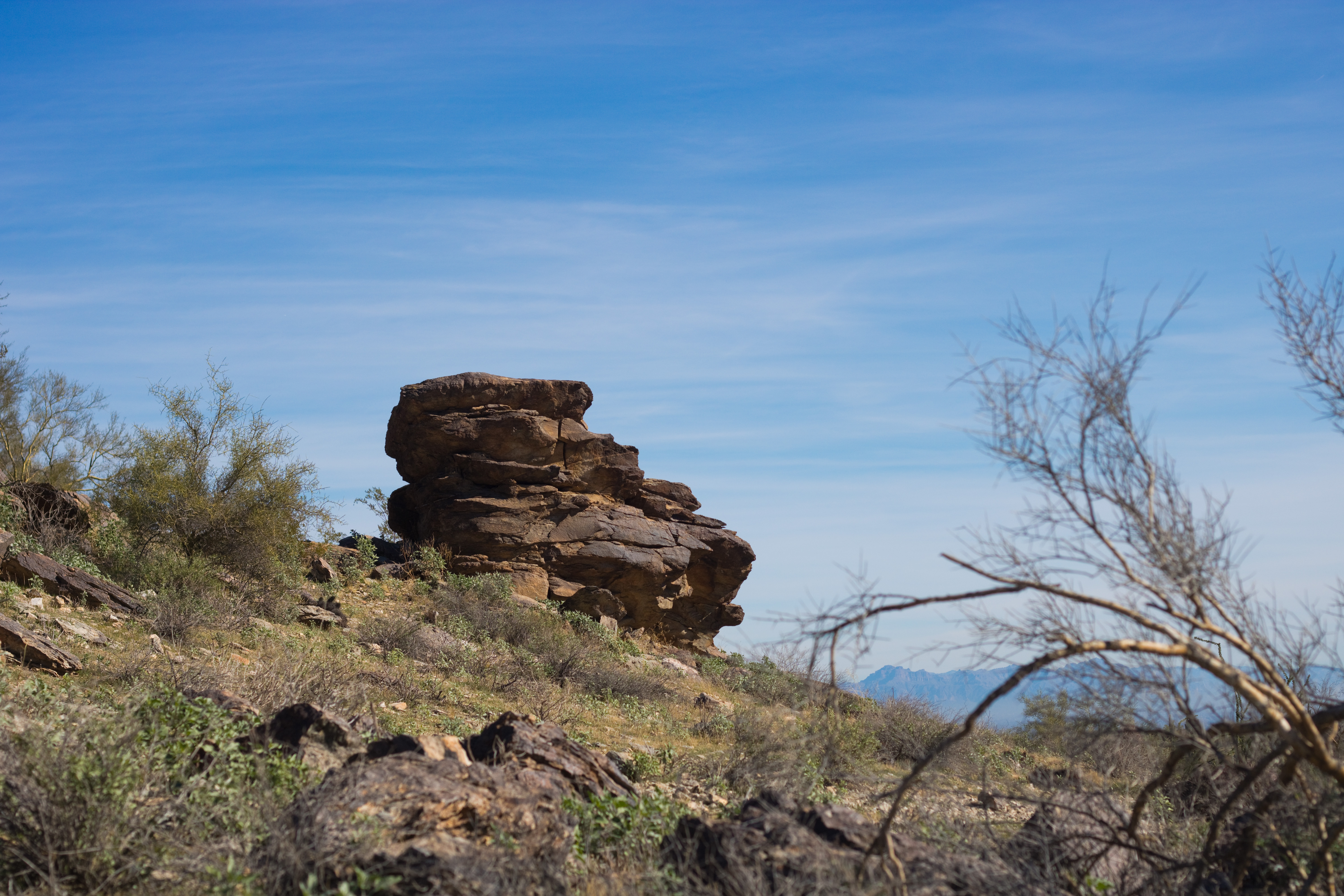
One of the benefits to hiking so steeply up the side of the mountain was the view gained by such a rapid increase in elevation. We could see out to downtown Phoenix and over to the ASU Tempe campus, even while looking up towards the mountain let us see beautiful desert slopes.

It was definitely helpful to have an adult paired with each child for this trail, however. It was also helpful to carry a lot of water, despite the cool weather, and plenty of snacks for well-timed breaks. Jackets, on the other hand, while comfortable at the trailhead, quickly became just extra weight to carry – hiking in the open sun gets your body warmed up fast!
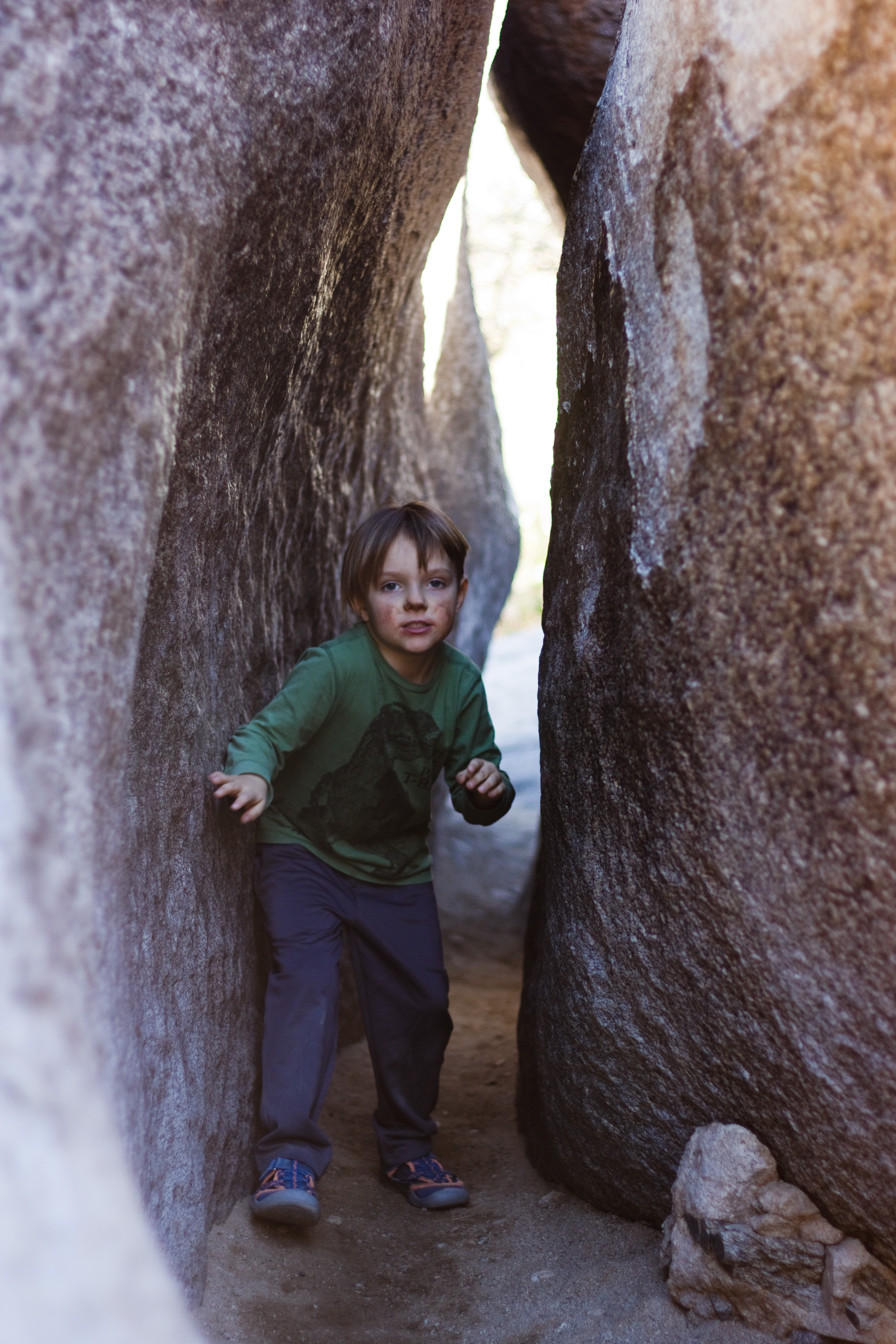
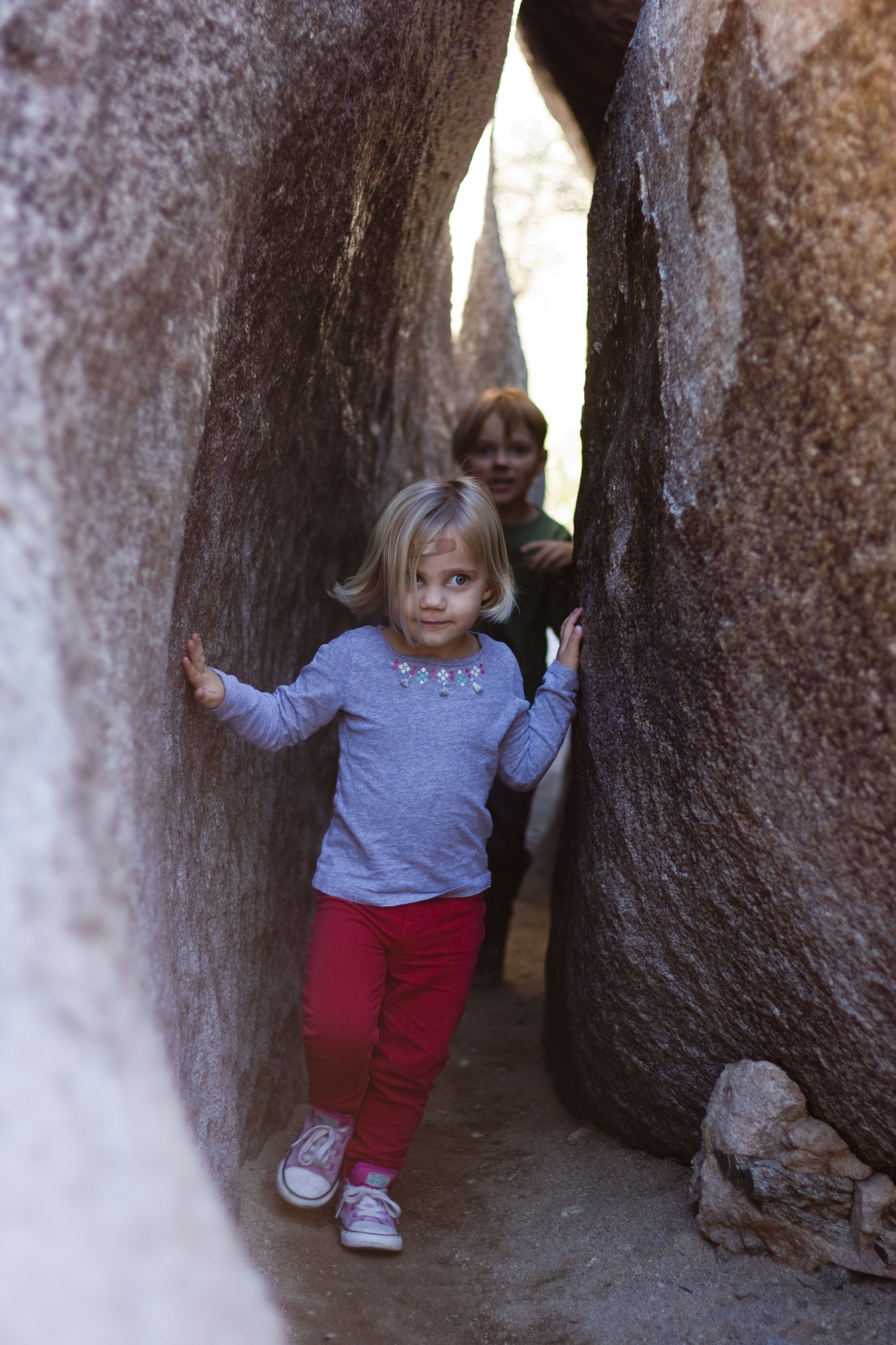
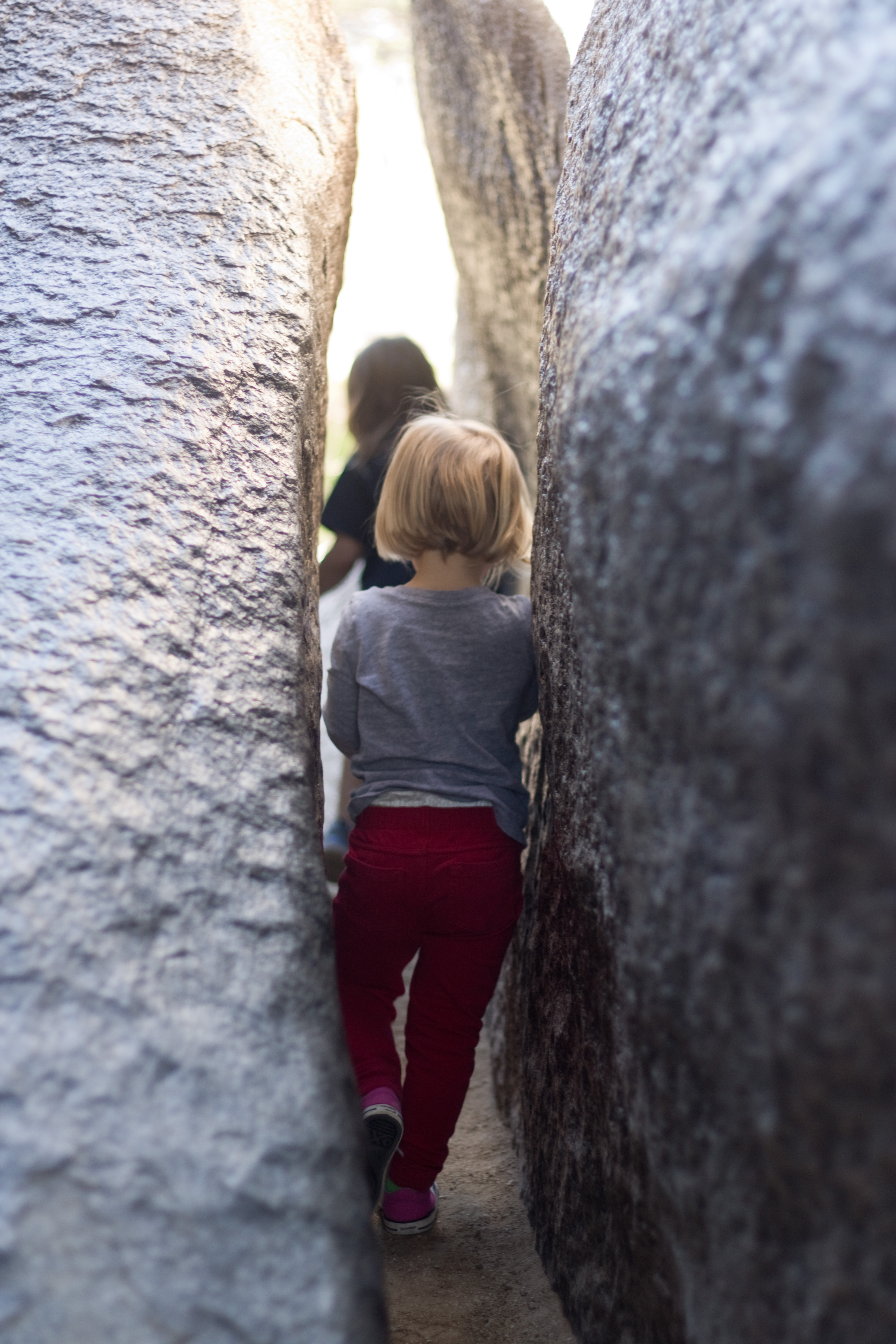
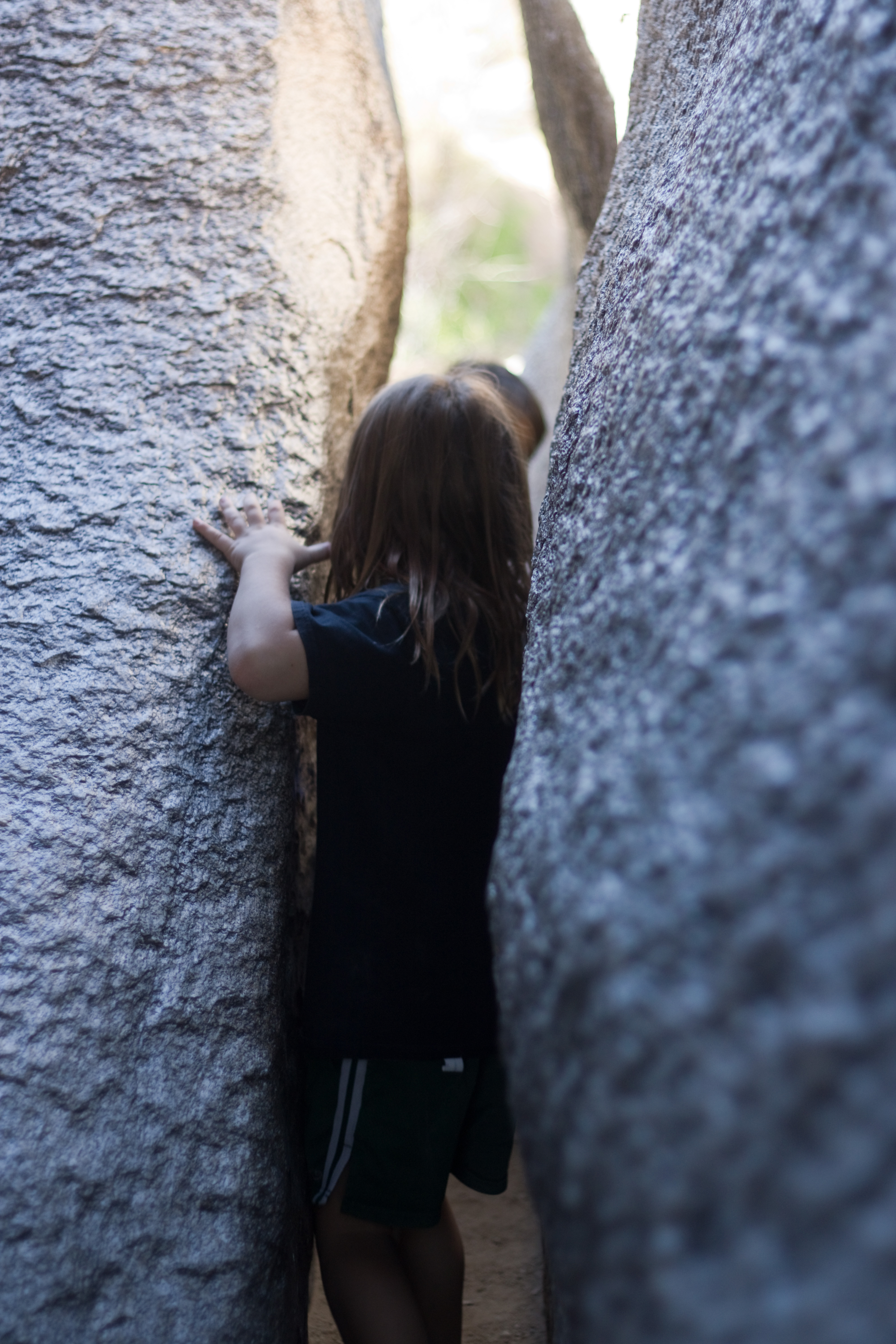
Towards the top of the mountain, Mormon Trail comes to an end at a junction with National Trail, and there is a turnoff to the left for Hidden Valley Tunnel. While you could turn in here and go through Hidden Valley beginning with the tunnel and ending with Fat Man’s Pass (giving yourself a longer descent back to the trailhead afterwards), we followed National Trail about a quarter of a mile longer to the turnoff for Fat Man’s Pass. After the sun and heat of the trail, the pass feels almost frigid, the eerily smooth rocks around the narrow path very cold to the touch; it is quite refreshing, and the pass itself is really fun to play in. The kids ran back and forth through it for a long time, and we ate a picnic lunch in the shadow of the overhanging rocks behind it.

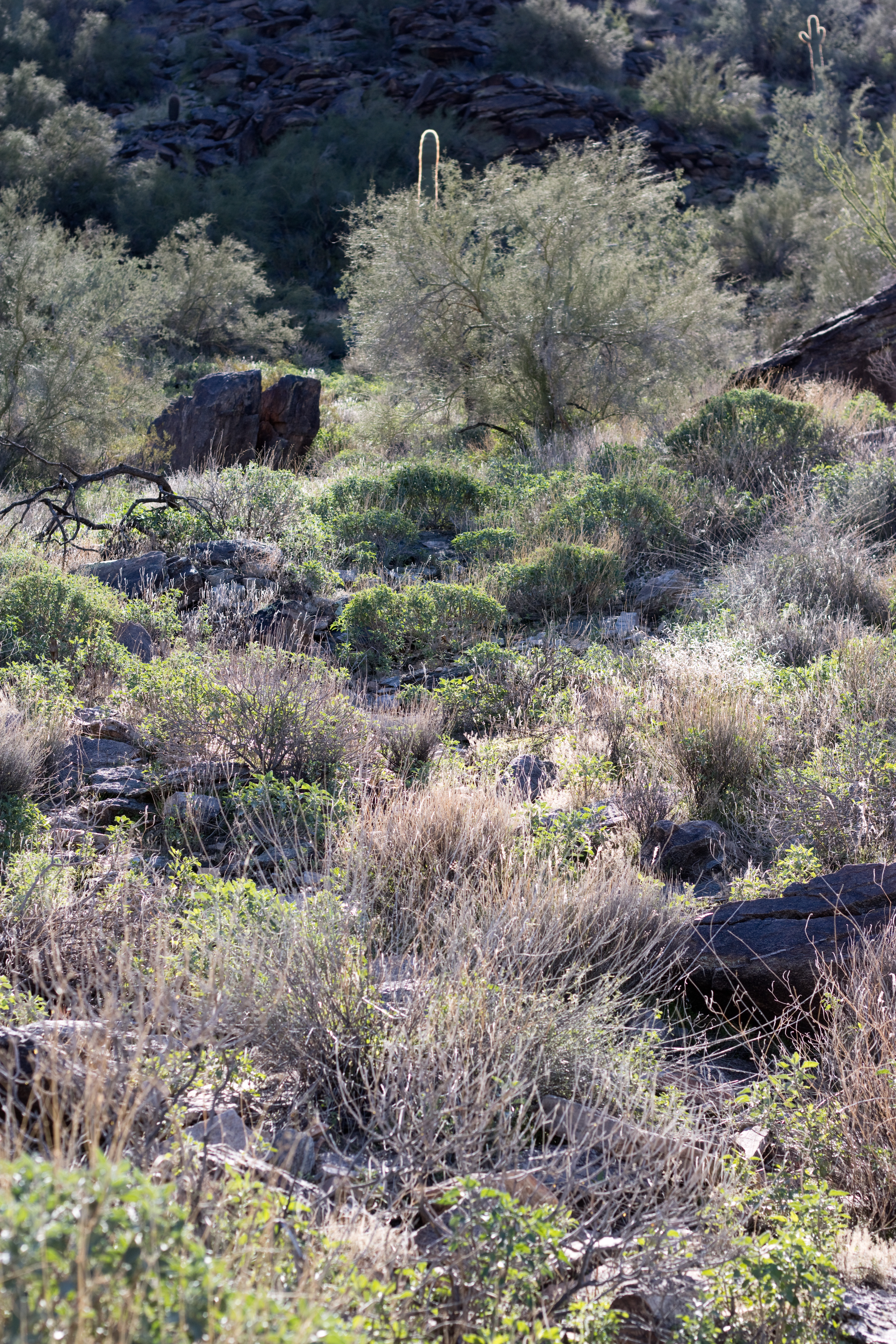
From Fat Man’s Pass, the trail meanders down through flat sandy washes towards a tumble of rocks through which hikers must clamber or slide. When you approach them, it appears that the trail has reached a dead end, but don’t give up! Going to the left and through an opening in the rocks leads to a series of short slides; going to the right involves a short climb and a trail down to the bottom. I convinced the kids to come with me on the right to show my dad that it was an actual safe trail, but then they saw my mom sliding down the left side and climbed back up so they could go the “fun” way 🙂
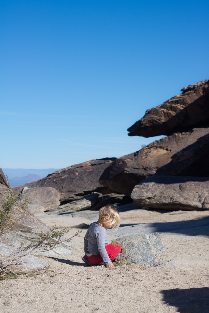
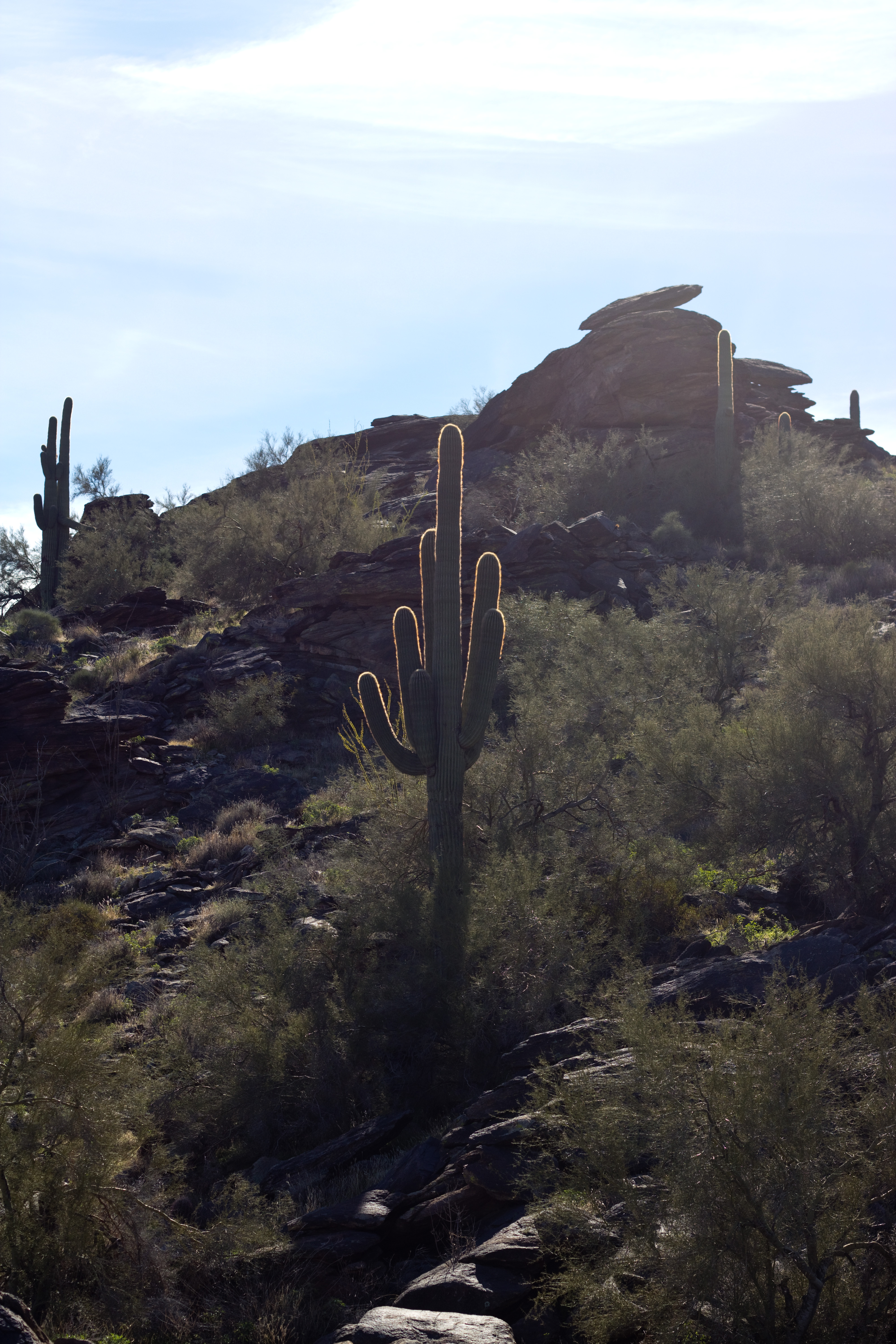
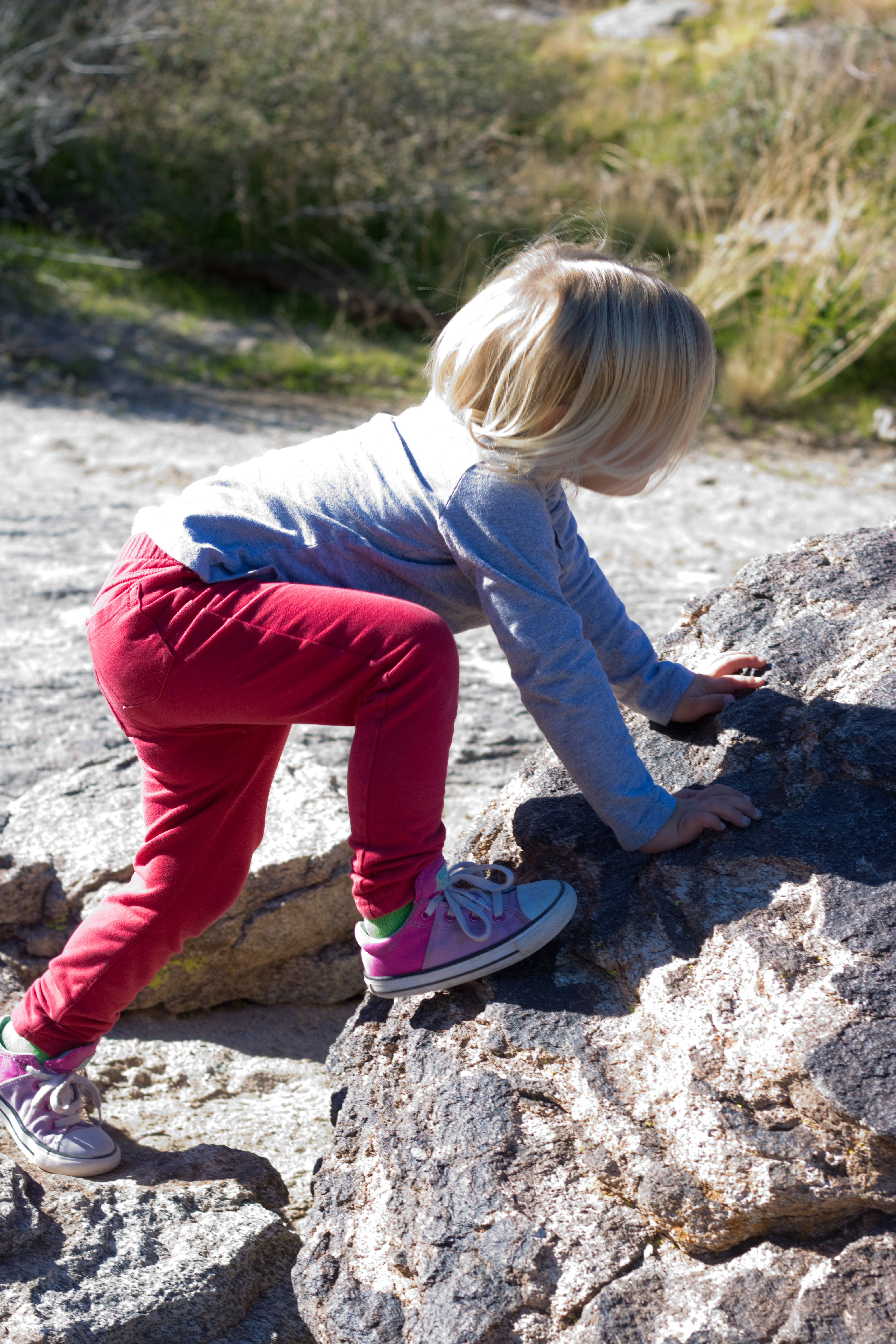
The rock barrier between the upper and lower sections of Hidden Valley are really a fun place to climb around – I came with some friends back in college (we must have taken some other trail to get there since I don’t recall either Fat Man’s Pass or Hidden Valley Tunnel) and we spent a lot of time clambering up and down the boulders and joking about it being a great place to pose for an album cover photo. Aubade kept marching up to every tall rock she saw and doing her best to get to the top of it, giving my poor dad much anxiety while being exceedingly cute, oblivious, and self-confident.
When we reached the lower end of Hidden Valley not long after, we found the tunnel filled with other hikers so we didn’t stay long, unfortunately, and I didn’t get any good pictures. It is a really neat place, though – the rocks have made a literal tunnel leading out of the valley, long and thin (though not nearly as narrow as Fat Man’s Pass!) and cool, the rocks again polished slippery smooth.
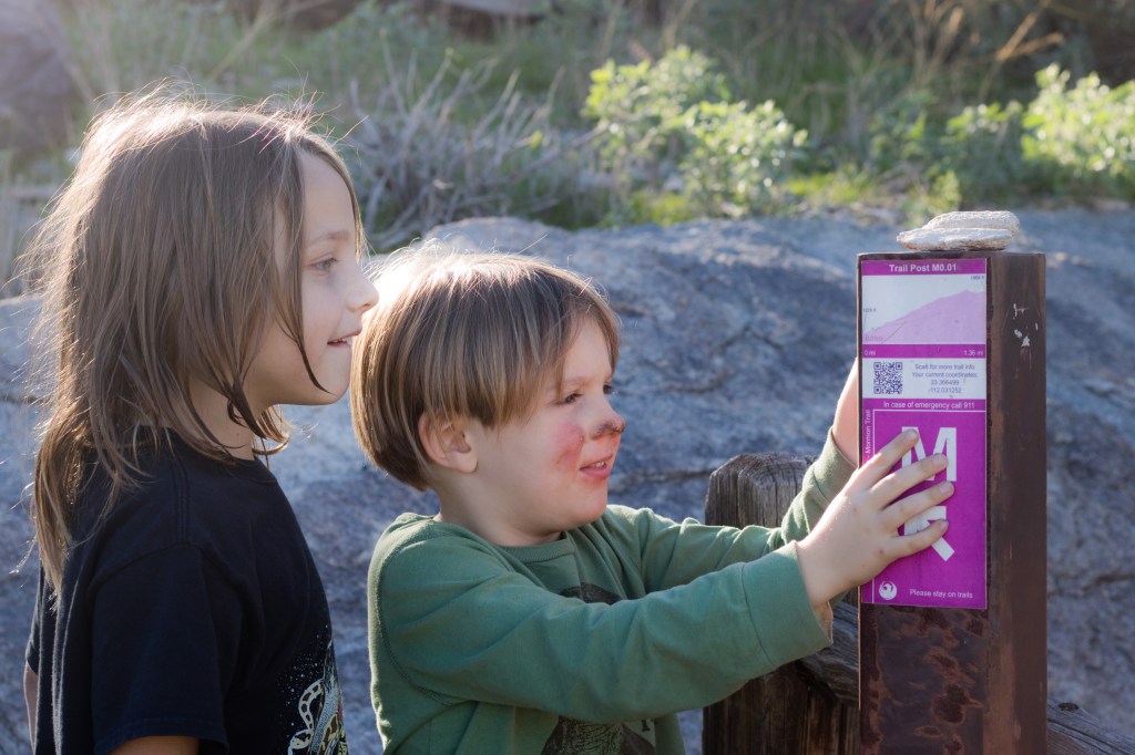
Then it was back up to National Trail and a short ways to the junction with Mormon Trail, and the long (for tired little kids) descent down the mountain. Every few tenths of a mile there was a trail post with a picture showing how far you were from the bottom or the top of the trail, and Limerick and Rondel took great encouragement from these as their energy wore out – it was a great way to visually confirm that the end was getting closer! Aubade did have to be carried down as she was completely exhausted, and ended up napping on my mom’s back (we had been alternating the carrier – I had it most of the way up without Aubade, and my mom got stuck with it going down. She does have better knees though…).
According to the South Mountain Trail map, the total distance of the loop was about 3.4 miles; according to my mom’s Apple watch tracker, it was 5.5 miles. My guess about the discrepancy is that the trail map measures the flat distance traveled, while the Apple watch measures the actual distance traveled, including the vertical aspect – which was not insignificant on this trail! The hypotenuse of this particular triangle was quite a bit longer than the base 🙂 Either way, it was the longest trail the kids have every hiked, and I wouldn’t recommend doing it with more than one little without help (I could have hiked with Rondel and either one of the others, for instance, most likely, but definitely not all three). However, if you can do it I would encourage you to go for it! Hidden Valley is worth the trek to get there, and the Sonoran desert is beautiful this time of year.
How to get there: from the I-10, exit on Baseline Rd and drive west till 24th Street. Turn left and continue south till the road turns left and becomes Valley View Dr. The trailhead is to the right very shortly after. It does fill up quickly on weekends, but there is roadside parking available on 24th Street. There are no bathrooms or water at the trailhead, so come prepared! Mormon Trail is the only trailhead, and the path is well-marked the entire way except through Hidden Valley itself.
