Posted in family life, hikes

fall in arizona: see canyon spring trail

When we hiked part of the See Canyon trail this summer, I noticed a lot of maples along the trail – and maples mean red leaves in the fall, so I made a mental note to revisit the trail if possible. We went back on October 19, which was probably on the early end of the colorful season, but the trail was still absolutely beautiful and we were all excited to see the changing colors.

The maples weren’t the only color, either – the oaks were a stunning brilliant yellow, not yet turned to their more subdued brown.

I collected a handful of leaves as we hiked and brought them home to preserve. Do you have a favorite way to preserve leaves? My mom has a few that have lasted over twenty years, and when you hang them on the windows the light shines through them. They’ve been some of my favorite decorations my whole life – but none of us remember how exactly she preserved them! I dipped this set in beeswax, and while they definitely aren’t the same as my mom’s, they feel and look quite nice, I could easily use them in a wreath or centerpiece since there is no excess edging as there would be with something like contact paper, and the kids can touch and play with them if they want. It was really simple to do, as well – I just melted the beeswax in a double boiler, dipped the leaves in so both sides were coated, let them drip dry for a few seconds, then set them on wax paper to cool.

Since the trail didn’t change from our hike in August, all my thoughts (and directions!) from then still apply 🙂 We did, however, go down the standard See Canyon Trail for a short while on this hike, instead of trekking all the way up to the spring, and that was a beautiful area of the forest as well. Aubade took another nap but at least this time we brought the hiking backpack, and Limerick got a bit cold but he was ok using my jacket. All in all, I still love this hike and would go back again in a heartbeat when the kids have the endurance to manage the whole canyon!

Posted in family life, hikes

hiking with littles: wet beaver creek day use area

It is good to simply be – to be present, to be at peace, to be free.

This is something I try to give to my children: freedom, space for wonder, opportunity for exploration and self-determination, time to be young and wild among the wild things of the earth.

Chores, deadlines, busy schedules, impatient adults – they all can make it hard to leave no stone unturned in the quest for interesting bugs (not to mention that riparian areas tend to have much more fascinating bugs than our urban desert backyard!).

Home is good, and safe, and stable – but unless you go out adventuring you will never stumble across pools to wade in, rocks to splash, logs to climb, and leaves as big as your head.

And when you begin, you may find that every bend in the river is calling you forward, over boulders and brush, through shadow and sun, to discover the unknown ahead.

Or perhaps it is the curve in the path that beckons, as it winds through the grasses underneath an archway of leaves.

The wild around you may make you feel small, dwarfed by the solid rock beneath your feet and by the broad, tall trees rising overhead, in whose roots alone you could take shelter.

Yet it is that same grandeur and size that makes overcoming those wild obstacles such a meaningful feat, such a source of delight and satisfaction – no worksheet or artificial task can hope to compare.

You learn to ask for help when the problem is too large to handle alone; you learn to stretch and bend and serve when your friend needs help that you can give. And in the serving, you come to find joy, and in the receiving, you find joy as well.

And when you cannot find the trail that others made, you go where beauty and danger call, where the challenge and reward are equally great, and never count the loss of what might have been for the thrill of the wandering.

How to get there: As you may have guessed, we didn’t exactly follow a trail on this adventure! Instead, we used the Wet Beaver Creek day use area as our base and spent five hours exploring the surrounding area. To get there from the valley, take the I-17 N through Camp Verde, exiting onto the 179N toward Sedona at exit 298. Almost immediately, turn right onto FR618 and follow for 2.4 miles until you reach the day use area on your right. There are several one-lane bridges, but the road is paved the whole way. The day use area has no fees and a couple port-a-potties and picnic tables.

If you do want to take an established trail (and I’ve heard this one is good, although I didn’t locate it until we were leaving), you won’t need to stay on FR618 quite so long, instead turning left into the Beaver Creek Work Center and parking near Bell Trailhead. This is a 3.5 mile trail leading to a swimming hole, so it’s probably better for older kids.

Posted in hikes

hiking with littles: see canyon springs

I had the good fortune to stumble across the See Canyon Springs trailhead in time for a hike with Paul and both my parents (before my mom started teaching for the fall semester and while Paul had a week off between jobs). While I always do enjoy hiking with the kids, having all those extra adults makes it easier when little legs get tired or when one kid wants to explore ahead and linger behind to examine the bugs!

The trailhead sign! Several trails begin at the See Canyon Trailhead; while some are long and not safe during the monsoons, See Springs Trail is relatively short (2 miles round trip, approximately) and avoids canyons with flash flood risk.

And the bugs certainly were a highlight of the hike, from the very beginning when we came upon an Arizona Sister butterfly in the parking lot, through the handful of exoskeletons Rondel collected along the way, to the clouds of tiny periwinkle butterflies congregating along the trail on our way back.

The Arizona Sister butterfly is several inches across, velvety black with subtle navy patterning near the body, bold orange patches on the far end of the top wings, and white blotches creating a ‘V’ shape down towards the base of the body. In person, it is stunningly beautiful.

The trail crosses over the river only a few times, but follows close by its course the entire way up to the spring – there was only a short distance towards the middle of the hike where the murmur and rush of the waters was out of earshot. And at every turn there was some new beauty waiting for us. There were lush expanses of ferns, the rich odor of ponderosa in the air, sunlight reflecting off hidden pools through breaks in wooded shadow, mossy rocks with rivulets of clear water streaming around them, deep reddish brown trunks reaching into the sky, clear blue overhead with towering white clouds over the eastern heights.

I could have stayed there forever. (And I think Rondel could have as well. He’s already asked to go back, one of the first hikes he’s ever wanted to repeat.)

We did see a rattlesnake quite close to the trail, but it gave us its courteous warning rattle and we politely respected its space and watched it from a safe distance until it slithered back up into the woods. While there are certainly aggressive animals in the world, rattlesnakes are typically more like bees in that they only attack when they feel threatened, which is reassuring when your six year old is practically squirming to get closer to a venomous wild creature because he’s so fascinated by it…

The Arizona black rattlesnake we encountered – a mature individual, darkened to black on almost its whole body with only small tan stripes on the back. Apparently this species is capable of delivering large amounts of potent venom and should be avoided, as most bites happen when people attempt to handle the snake… not that I plan on trying to pick up any variety of wild rattlesnake, thank you very much.

In addition to being beautiful, the trail was easy enough for the boys to hike (Aubade ended up taking a nap in Paul’s arms – we should have brought the backpack for her), and they were captivated by the nature all around them. Limerick pushed on ahead with Grandma, excited to see what lay around each bend and to play in the water; Rondel meandered slowly with Grandpa, intrigued by each small detail and treasure along the way.

To get to the See Canyon Trailhead from the east valley: take the AZ-87 north to Payson. In Payson, turn right onto the AZ-260E and continue for 22 miles, until you reach the town of Christopher Creek, at which point you will turn left off the highway onto Christopher Creek Loop. Across from the Christopher Creek market, turn left onto FR-284 and follow the road until it ends at the trailhead. Once on the trail, follow the signs for See Springs instead of See Canyon for the shorter, kid-friendly hike – it is well marked. Parking at the trailhead is free and there is a bathroom available.

Posted in hikes

hiking with littles: horton creek

When I worked full-time, I would seasonally find myself walking back to my car at dusk past a row of orange trees in bloom. If you have never had the privilege of smelling orange blossoms, I feel sorry for you; sweet and sensual with a sharp almost spicy bite underneath, their perfume would flood the evening air, overshadowing the smells of asphalt and car fumes and cooking dinners in the nearby apartments. There aren’t many other plants whose scent is quite so powerful and intense (I believe lilacs are, though I haven’t lived in a place where they grow since I was very young).

Here in Arizona, one of the only other such plants that I can think of is the ponderosa pine. While there are many different species of pine, including several native to northern Arizona, the ponderosa has a very distinct scent: like honey and vanilla, with a whiff of hazelnut, sweet and heavy and warm, with only that faint nuttiness in the background in place of any other bitterness or spice. When the trees are healthy and hydrated, the sun’s warmth seems to pull the odors out into the air (or maybe keep them from blowing away), giving the whole forest a unique character. If orange blossoms make me think of a tower room with sunset-colored hangings, blowing in the breeze of an open window, where a couple is about to share in each other’s mysteries, then the smell of the ponderosa bark lingering in the air reminds me of C. S. Lewis’s description of Perelandra, where the outside air among the trees has a warmth and golden richness that our crisp cool world is lacking.

IMG_0665
image is of a ponderosa pine, looking up the trunk toward the sun-illuminated branches. They are very tall trees.

If my feeble attempts at describing their aroma have managed to convince you that you need to immerse yourself in the ponderosas at least once in your life, then Horton Creek Trailhead should be on your shortlist. Ponderosas are scattered all over northern Arizona, but they must be particularly concentrated here because their scent nearly overpowered me when I stepped out of the car, in contrast to Ellison Creek and Tonto Natural Bridge State Park (which have more of the typical clear, clean feeling in the air).

Parking for the trail is a short walk away from the actual trailhead, and two small creeks actually run near each other (and eventually join up, I believe) near the parking area, which led to some confusion on our part. So at first, instead of heading down the actual Horton Creek trailhead, we wandered up Tonto Creek along an elk trail and through the water. The grass was consistently up to Aubade’s chest and in some places was higher than Limerick; the creek meandered through level ground in places instead of the typical steep canyon; and blackberry bushes threatened to overtake the entire western side of the creek.

All that to say, it was wild and overgrown and absolutely beautiful.

A short ways up the creek (short by the road; long by way of elk trails with an 18 month old who won’t walk because the grass is too tall) there is a short waterfall with a small pool at the bottom; just to the west of the falls is a path up to the road, and at the base of the falls below that trail is one of the largest blackberry thickets I have ever seen. We were a bit late for blackberries – I found about 10 ripe ones within reach – but I’m thinking that sometime in early September the bushes should just be covered with berries.

IMG_0657

IMG_0658

Being just a bit too late for the blackberries also meant that we were just a bit too early for the fall colors; only the sumac and a few other isolated leaves were beginning to deepen into red. Coming from the low desert, we still got quite excited about it, and we’ll probably be going up north more often over the next month or so to catch more of the changing autumn colors.

After we reached the waterfall, my mom hiked a bit further with the boys while Aubade nursed (teething plus the long grass had made her miserable – I was so glad to have another adult with me!), and we found an open area near the creek to play for a while.

After that, we went downstream to the waterfall again and up to the road and back to the parking area for lunch. At that point, my mom wanted to find out where an actual trail was; she had hiked here before and was confused as to why the creek seemed so different than she remembered. So she explored a bit further down the road and discovered that we had actually been on Tonto Creek and never made it to the Horton Creek trailhead – where there was a very well-kept and walkable trail.

Since the boys still had enough energy, we decided to check out the real trail as well! It turned out to be wide and sandy, leading up the high ground between Tonto Creek and Horton Creek. Horton Creek was mostly dry at the beginning of the hike, unlike Tonto, although other hikers told us there was running water a mile or so down the trail; it was still incredibly green and lush, however. Aubade had a much better time on this trail since she didn’t have to push her way through the grass 🙂

If we go back to Horton Creek, I would try to do the designated trail first, while everyone has energy and the temperature is lower, and then play in Tonto Creek after lunch. And I do think this is a spot worth going back to – there is a lot left unexplored, and I have the feeling that things change a lot here seasonally, with berries, changing leaves, and fluctuating water levels. Without another adult I would be loathe to attempt more than the well-marked Horton Creek trail, however! It was a challenge getting everyone through the undergrowth around Tonto, though worth it for the hidden beauty.

To reach Horton Creek Trailhead from the East Valley: Take the 87 north to the center of Payson and turn right onto AZ-260 E at the McDonalds; about 16 miles later turn left on Nf-289. The parking area for the trail is on the left just after a one-lane bridge; it is marked and has a vault toilet and picnic tables. To get to the trail, walk back down the road across the bridge and up towards the Horton Creek Campground. The trailhead is at the base of the campground and is well marked.

When to go: For maximum water flow, go in spring after the snow melt or during the monsoons. For blackberries, go anytime from late August through mid-September. For fall colors, go in October. And I can’t speak from personal experience, but I’m guessing that April or May would be best for wildflowers 🙂


Posted in family life, hikes

hiking with littles: tonto natural bridge state park

As part of the Maricopa County reading program this summer, we all received passes to the Arizona state park system, and I’d been looking for a chance to use them (we’re saving some for Boyce Thompson Arboretum in the fall). Then I was reminded about the Tonto Natural Bridge just outside of Payson – the largest travertine bridge in the world.

Travertine is a form of limestone, calcium carbonate deposited at the mouth of mineral springs; travertine bridges like the one at Tonto can be formed when a travertine dam across a canyon (in this case Pine Creek Canyon) is eroded by water over time. For a detailed and illustrated explanation, visit the Arizona State Parks page about it here!

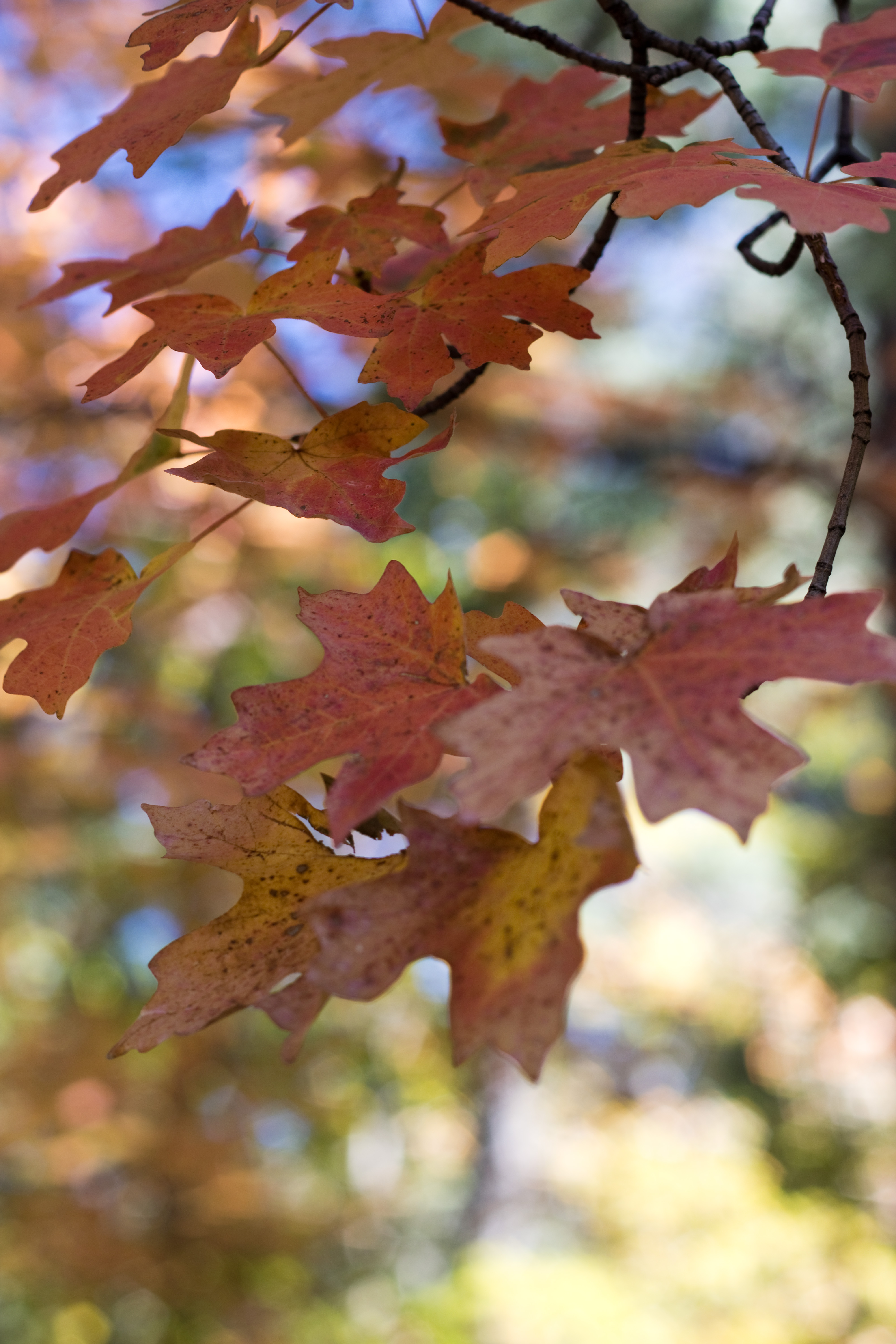
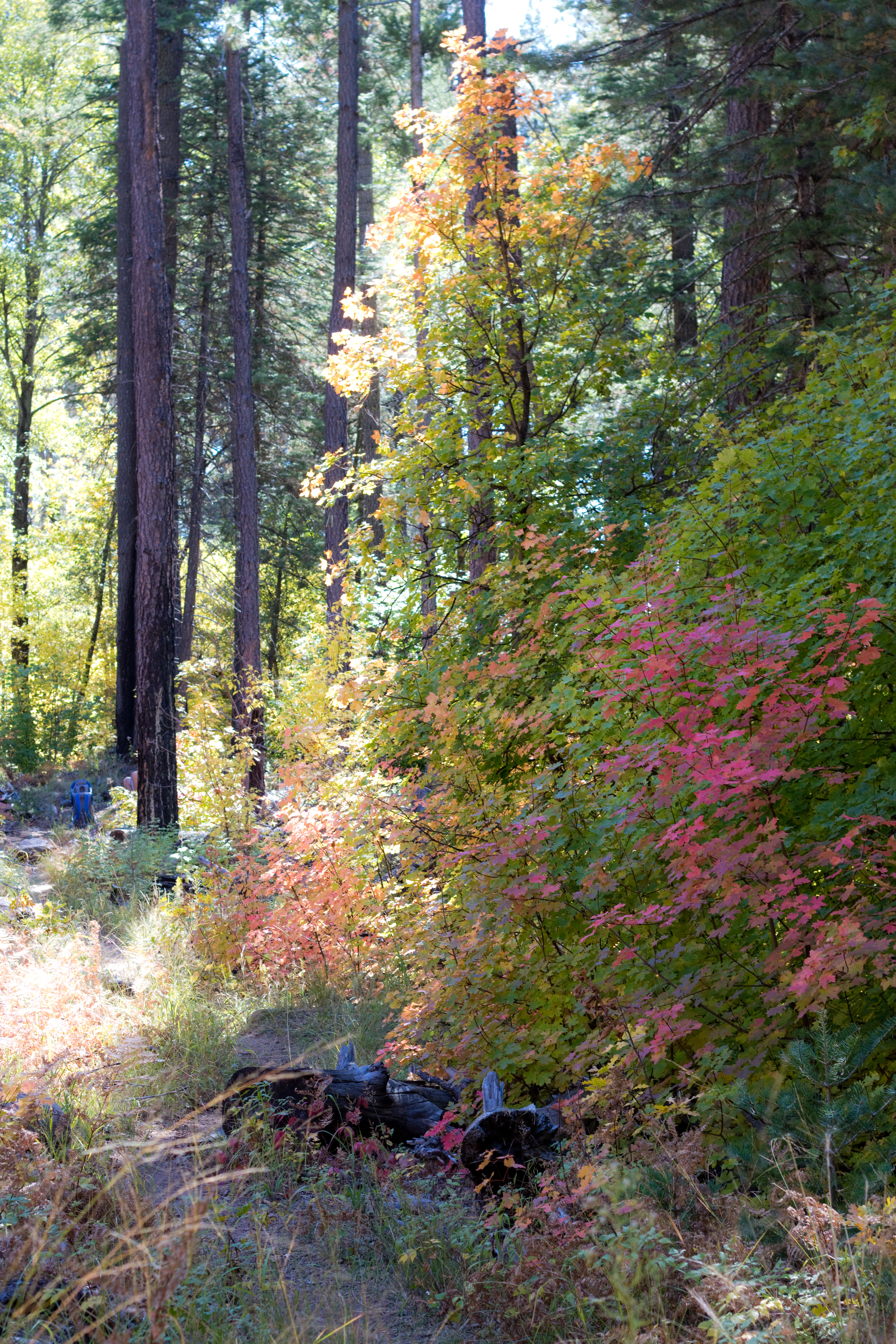
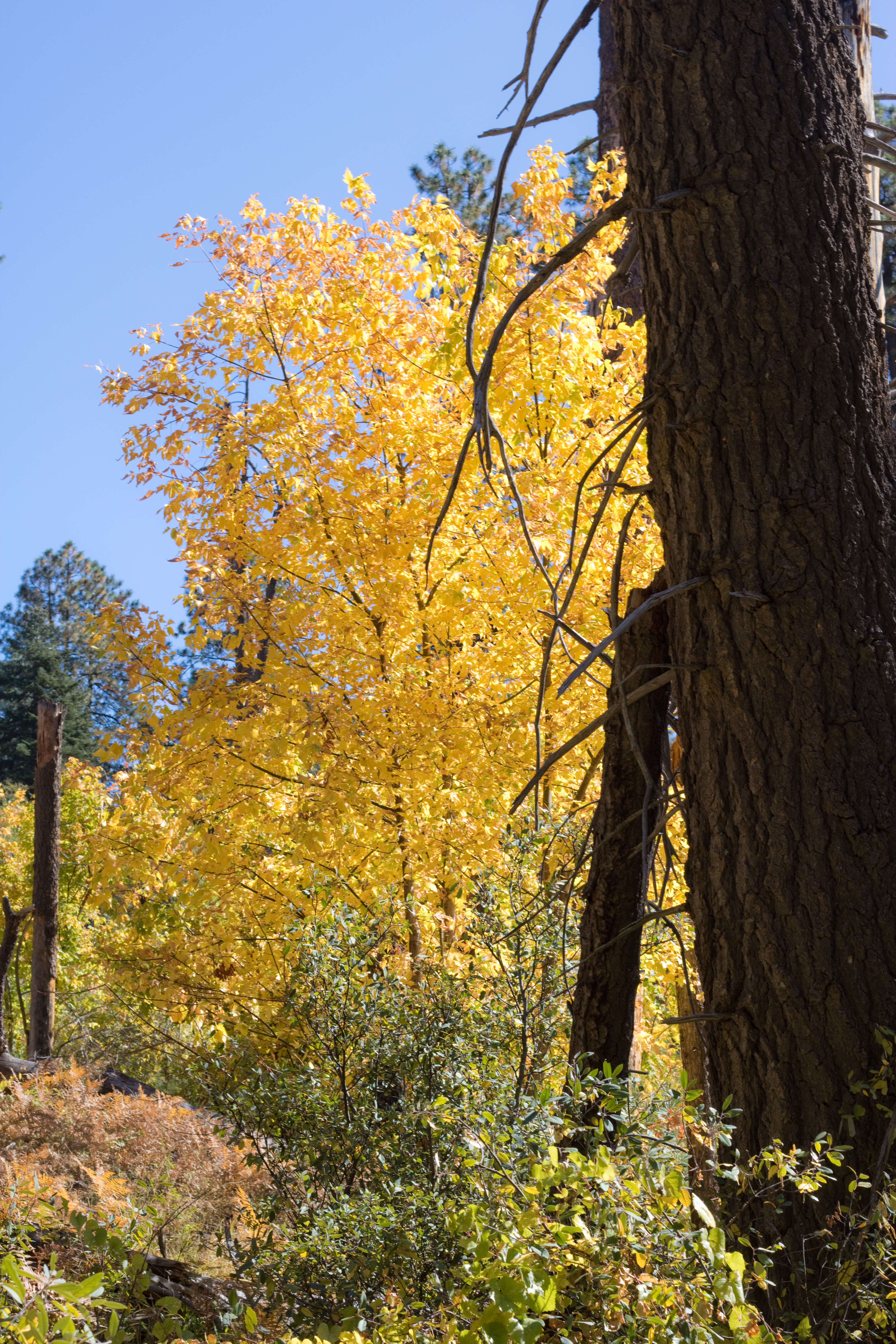
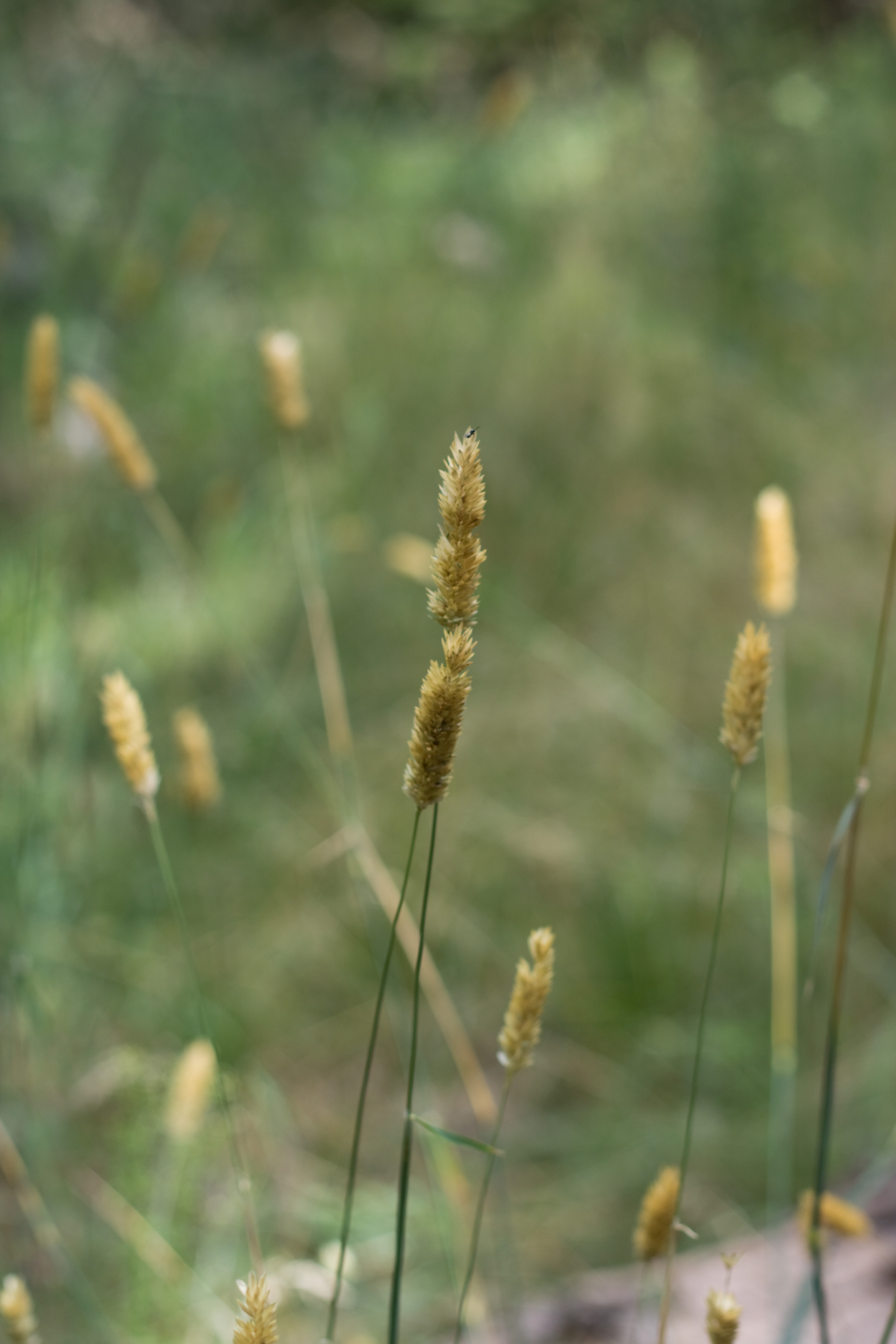
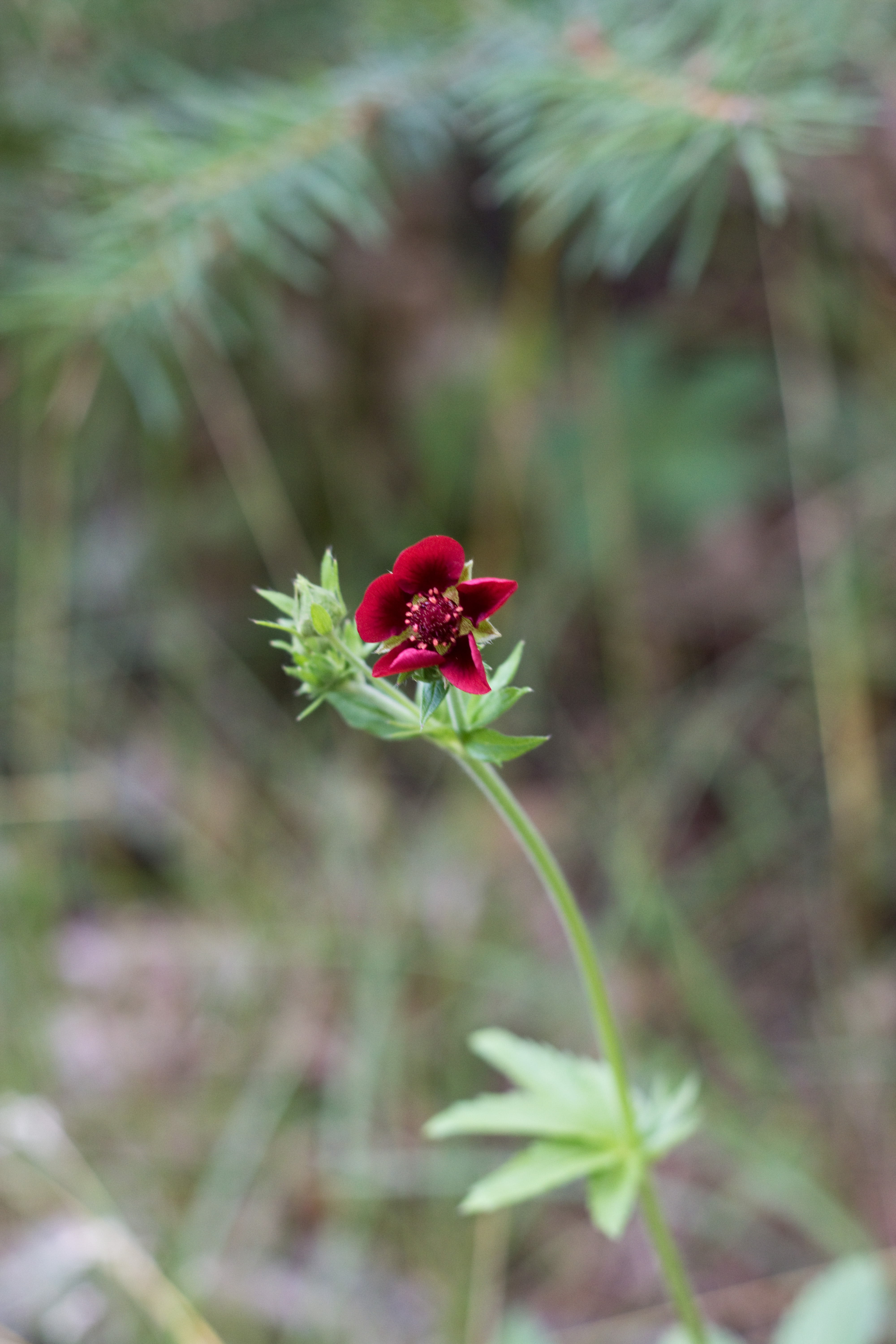
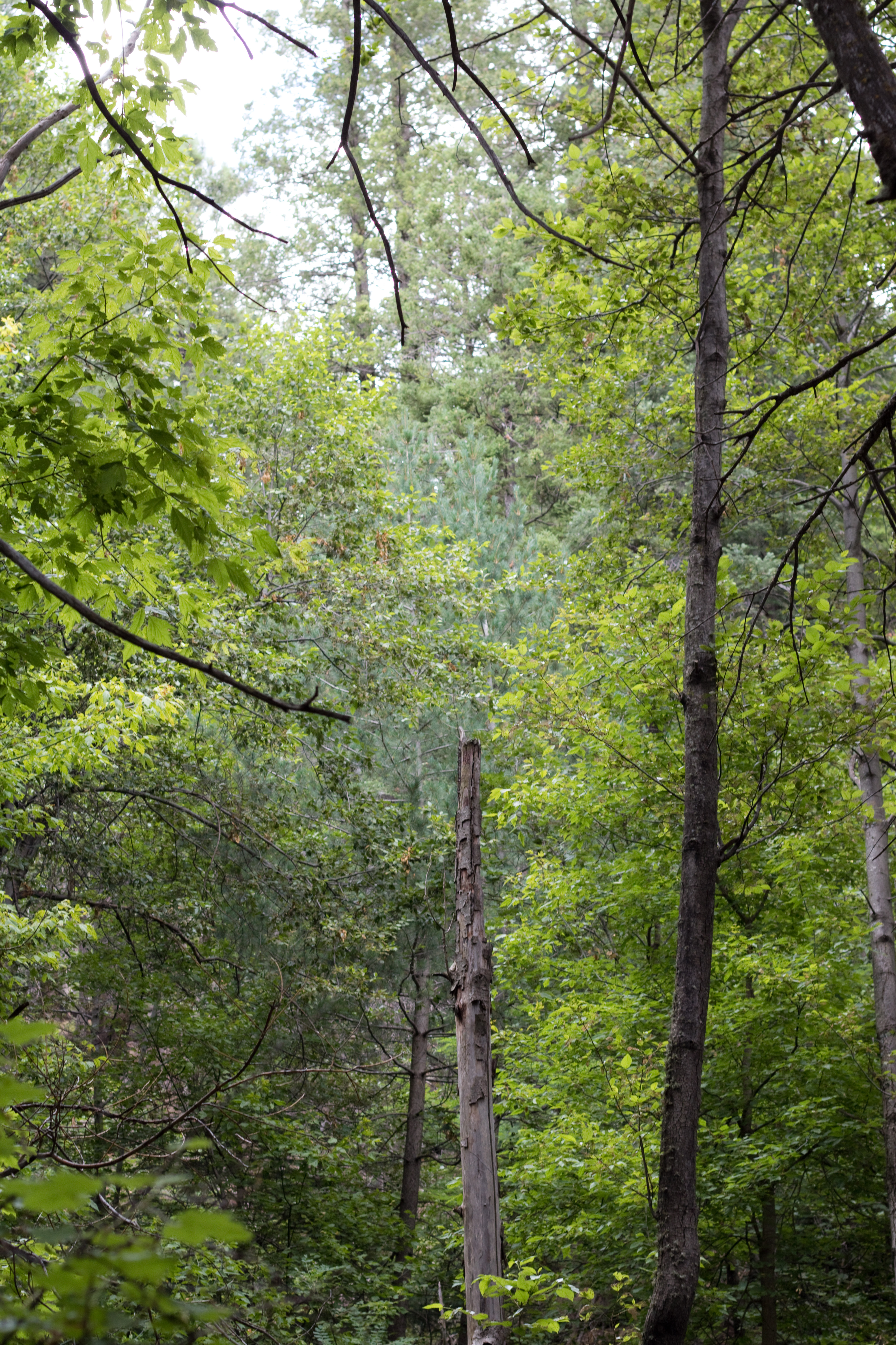
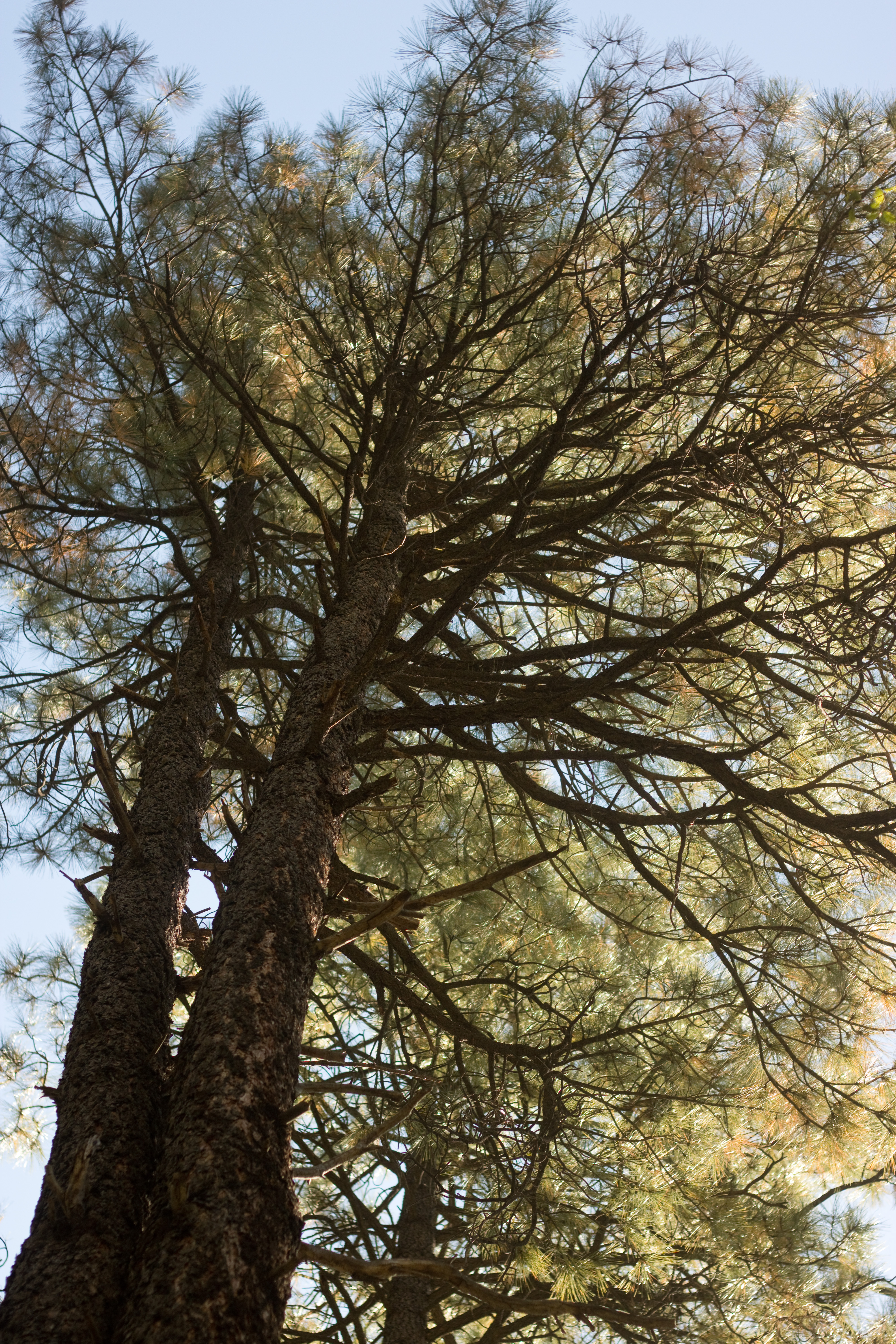
I hadn’t been to Tonto in at least 15 years, so I didn’t remember how difficult the trails were, but I did remember how beautiful they were, and how breathtaking the natural bridge was, so I decided to try it. We drove up early one Monday morning, making the ascent into Payson and then the steep descent into the Tonto valley. It is like a hidden vibrant green gem surrounded by dark pine-covered slopes; with the clear startlingly blue sky overhead, it was beautiful beyond my ability to capture with a camera (at least with three little kids running every direction at once!).

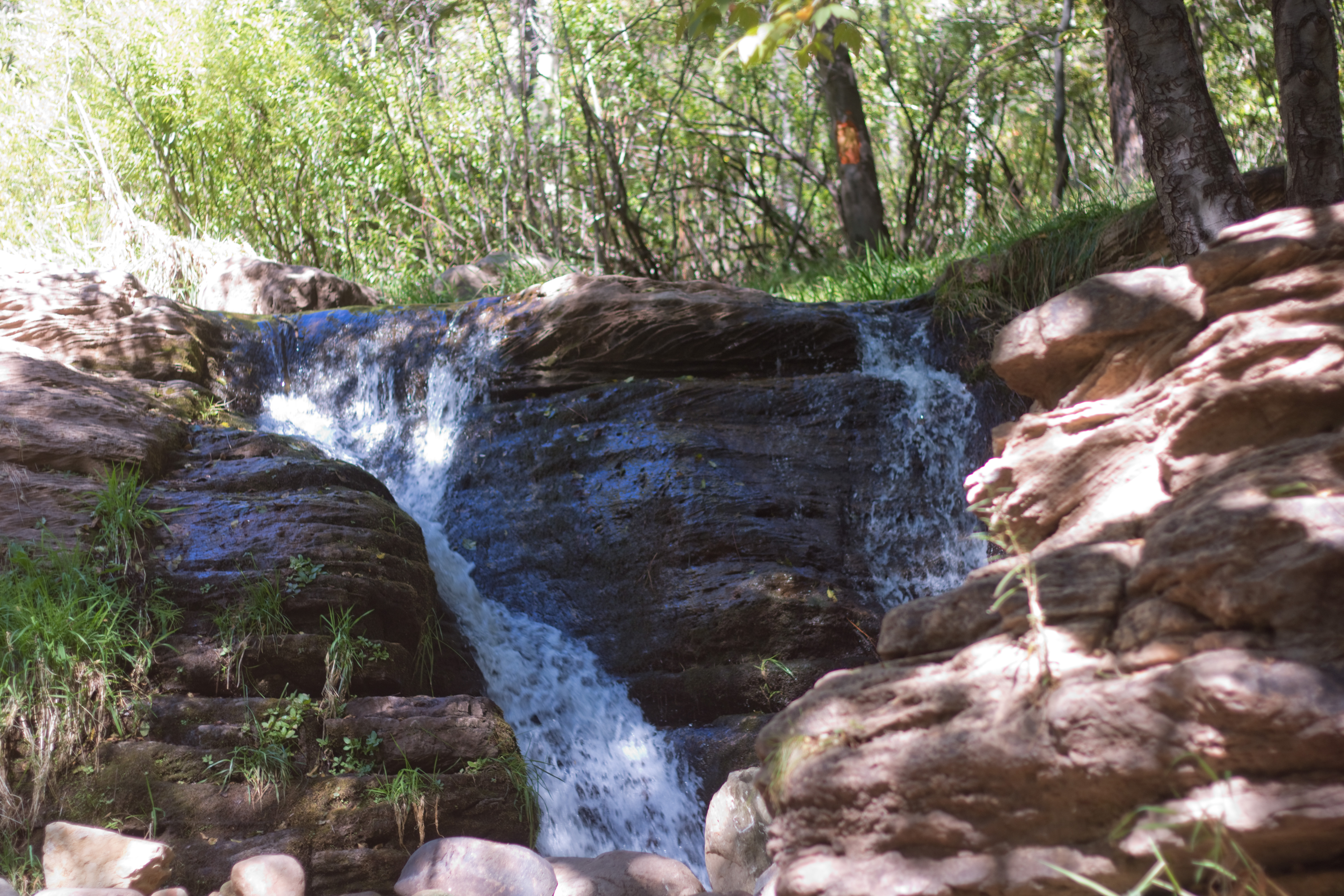
We did the Waterfall Trail first. This is a short trail (300ft one way) down a series of steps to a small waterfall running down a moss-covered side of the canyon.

The steps are quite steep. This isn’t a good trail for someone with poor knees – and Aubade needed to be carried most of the way down because the steps were too tall for her short legs. She was able to clamber up, however! The trail also gets very slippery down by where the waterfall splashes over it; the railing will keep you from tumbling down the canyon wall, but good shoes and attention to footing are important also (or you can be barefoot like Limerick was for the majority of the time… he does a lot better when he can feel the ground directly).

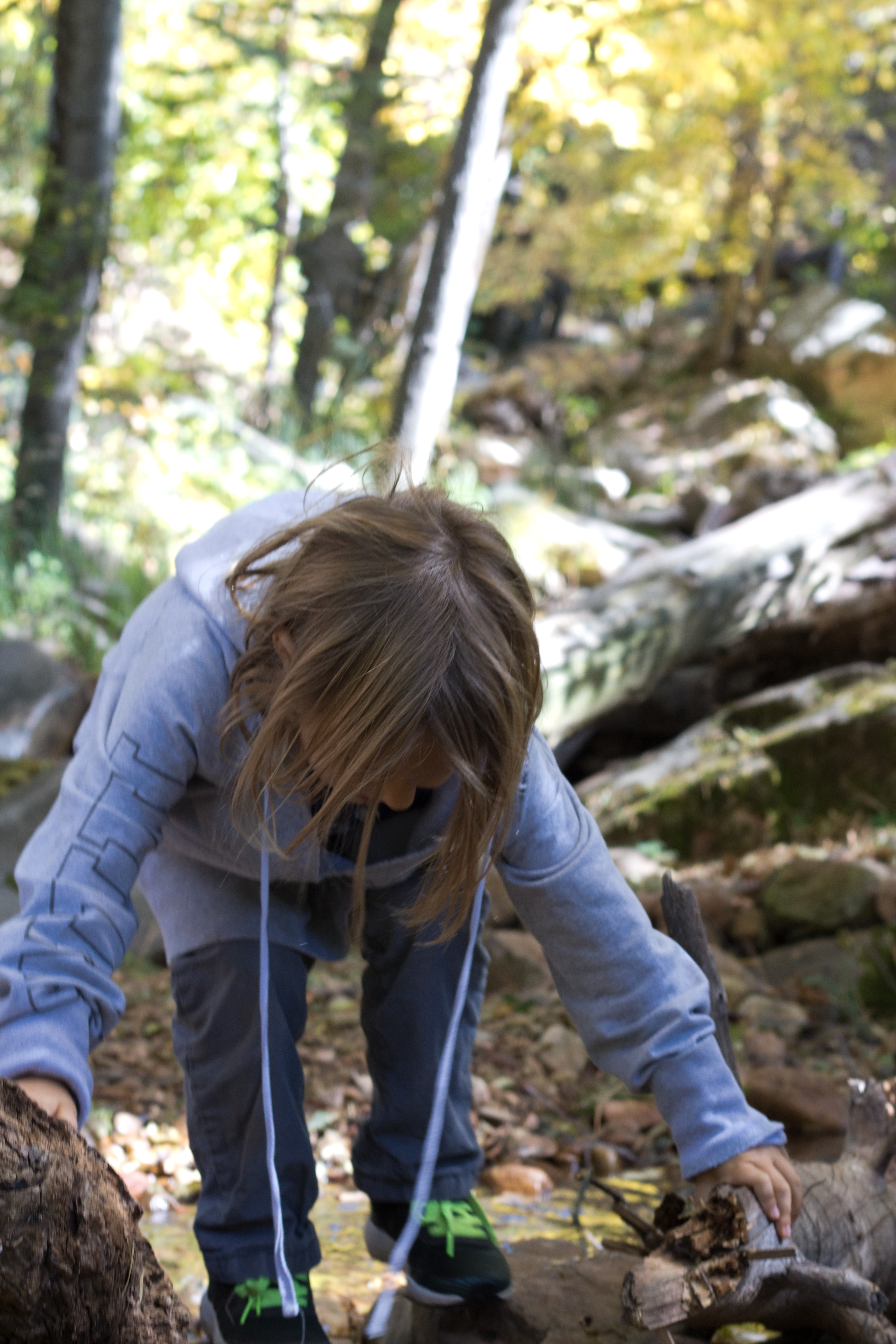
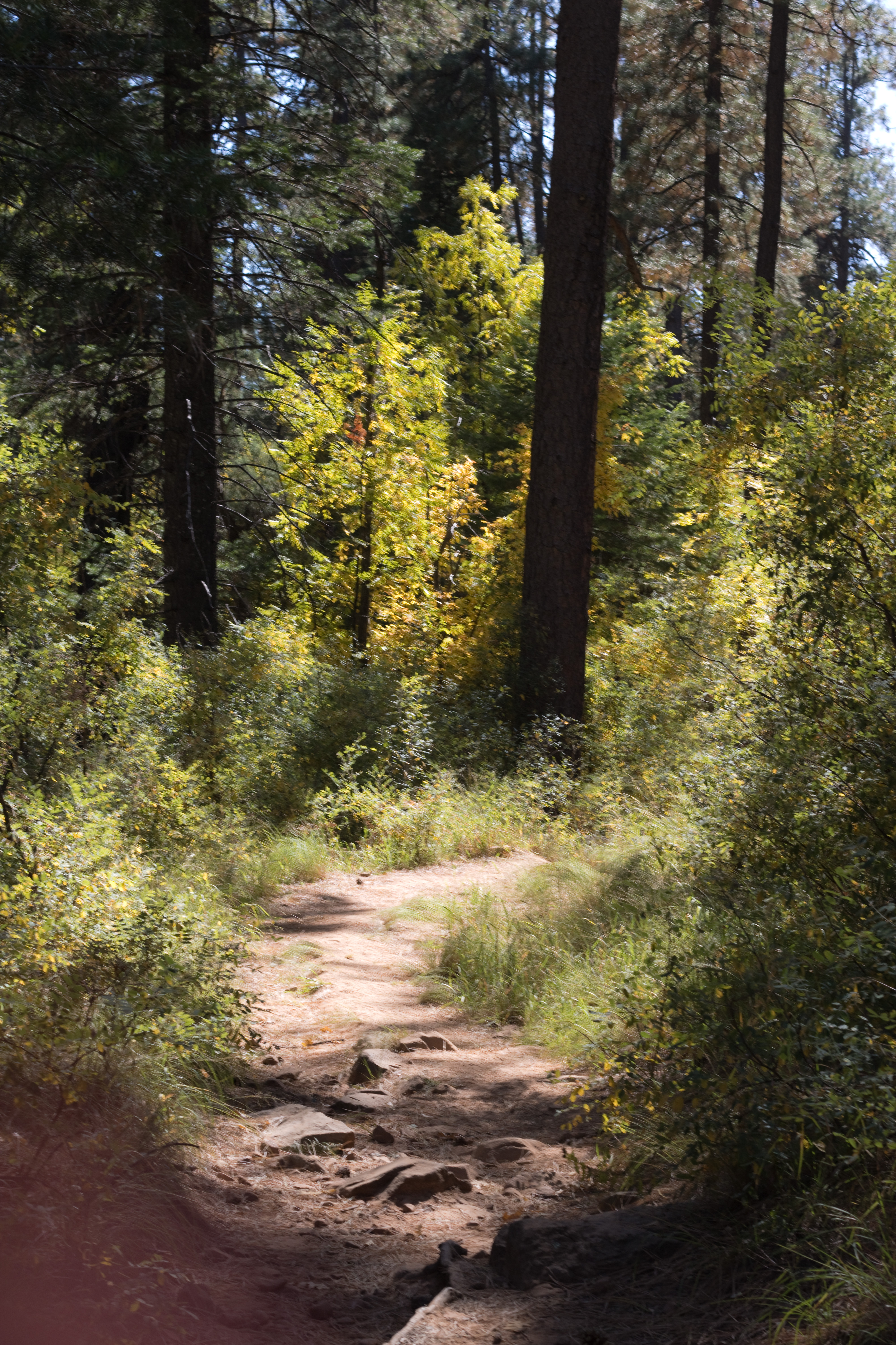
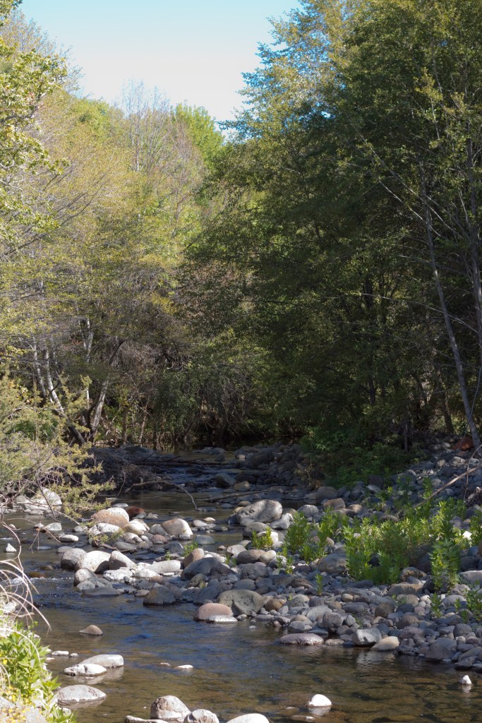
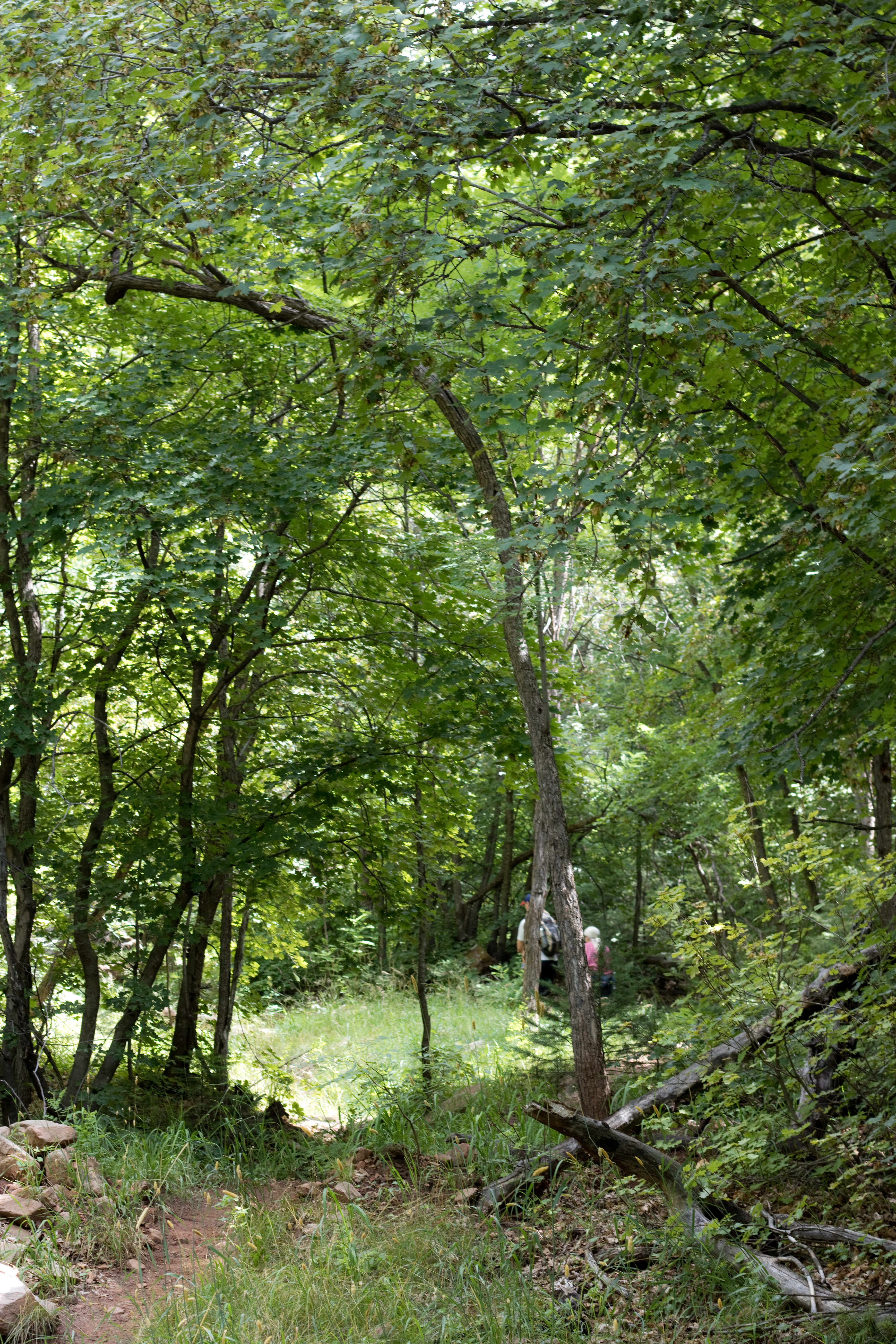
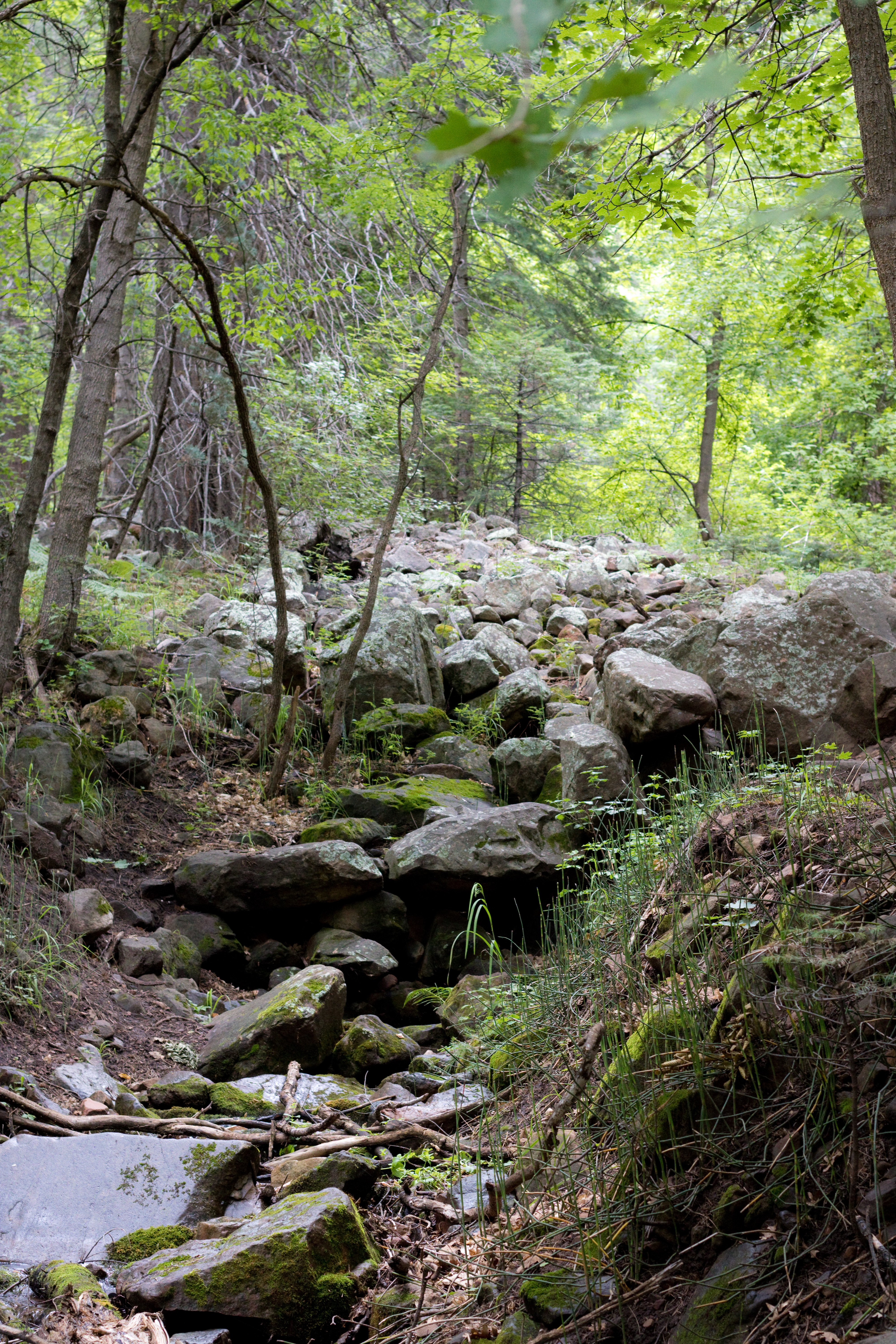
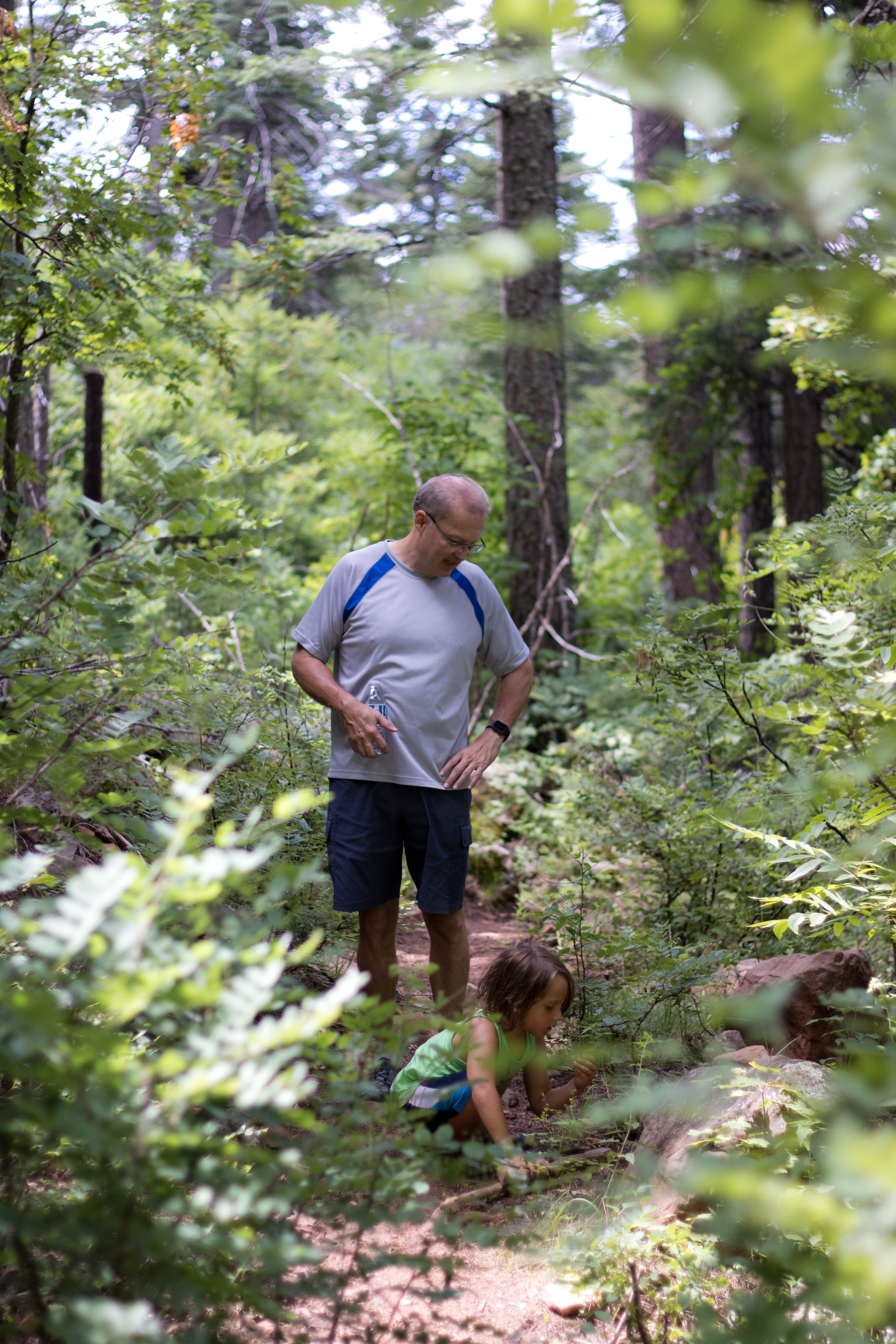
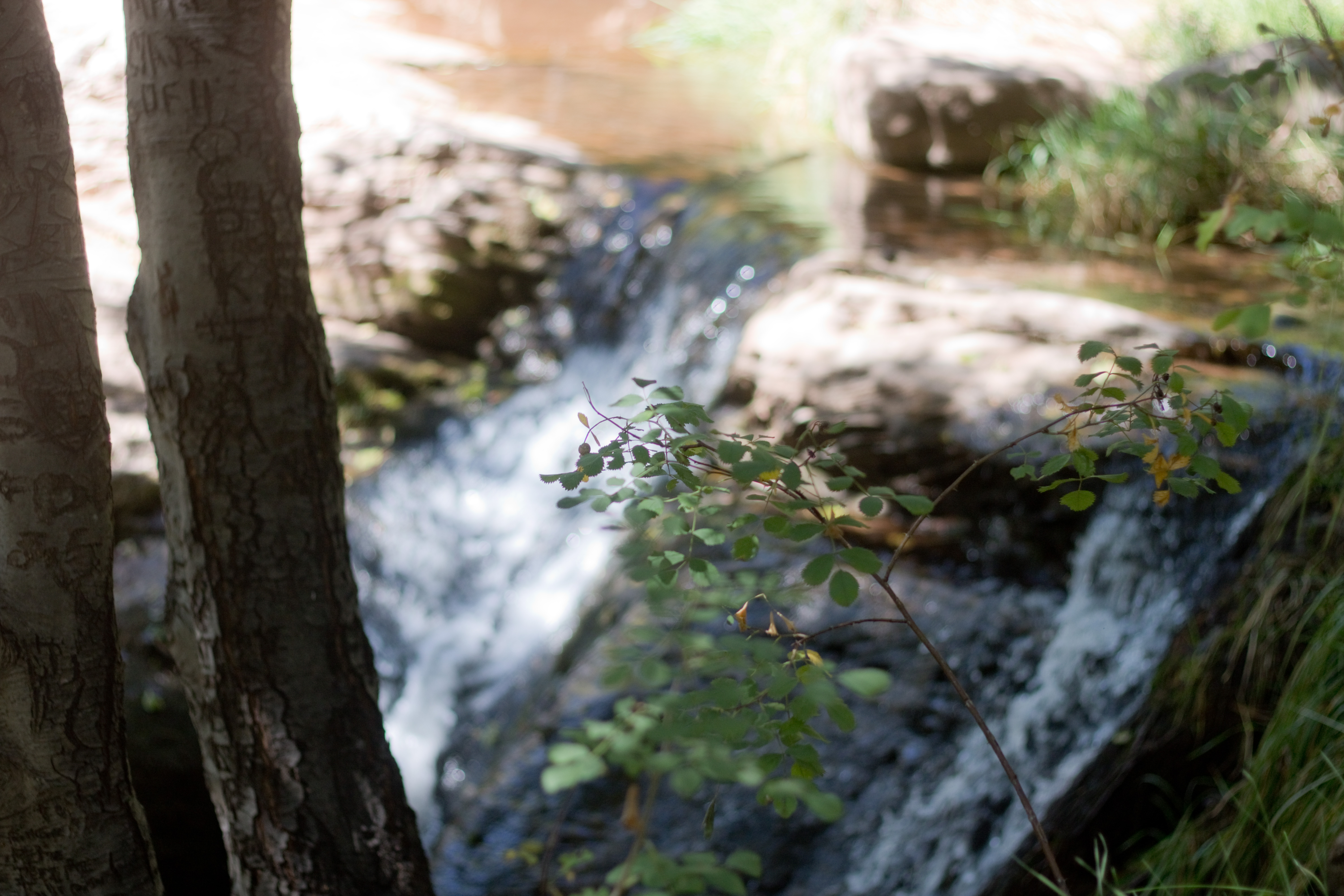
After we came back up from the waterfall, and realized just how short of a trail it had been, we decided to try the Pine Creek Trail – a half mile loop down the creek bed to the natural bridge. Does that sound easy? It did to me as well, until I saw that 75% of the hike consisted of bouldering through the creek with occasional arrows for guidance. But hey, if bouldering proves too difficult there is always the creek to play in, so we went for it.

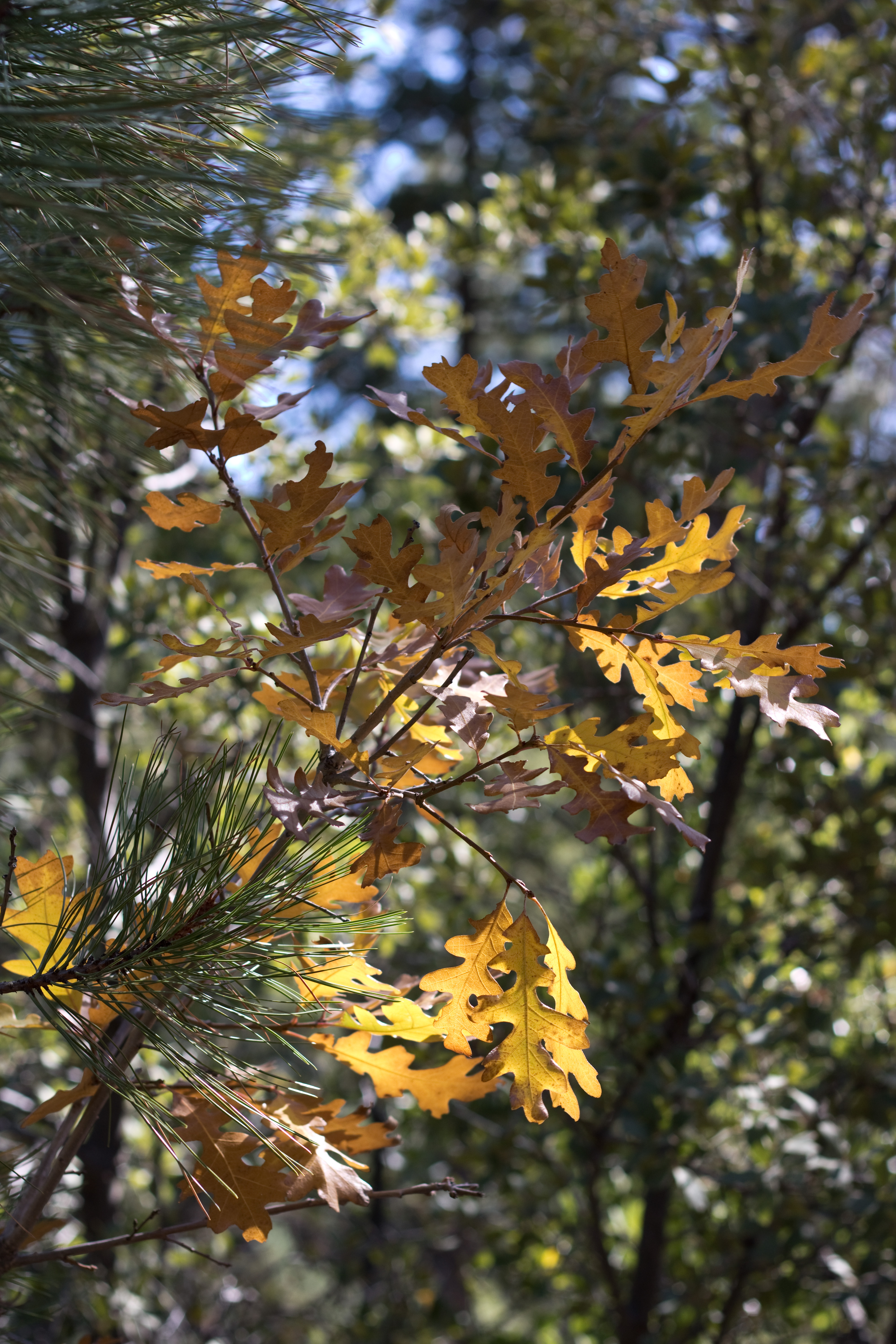
The first part of the trail is very easy – smooth paths and steps down to the creek. Aubade was able to handle most of this on her own, except for a few of the bigger steps. Several of the native trees are signed along the way, so we were able to identify and learn about the cypress tree, comparing its thin peeling bark to the thick checkered bark of the juniper tree, noticing how much larger its berries were, and feeling its sticky resin.

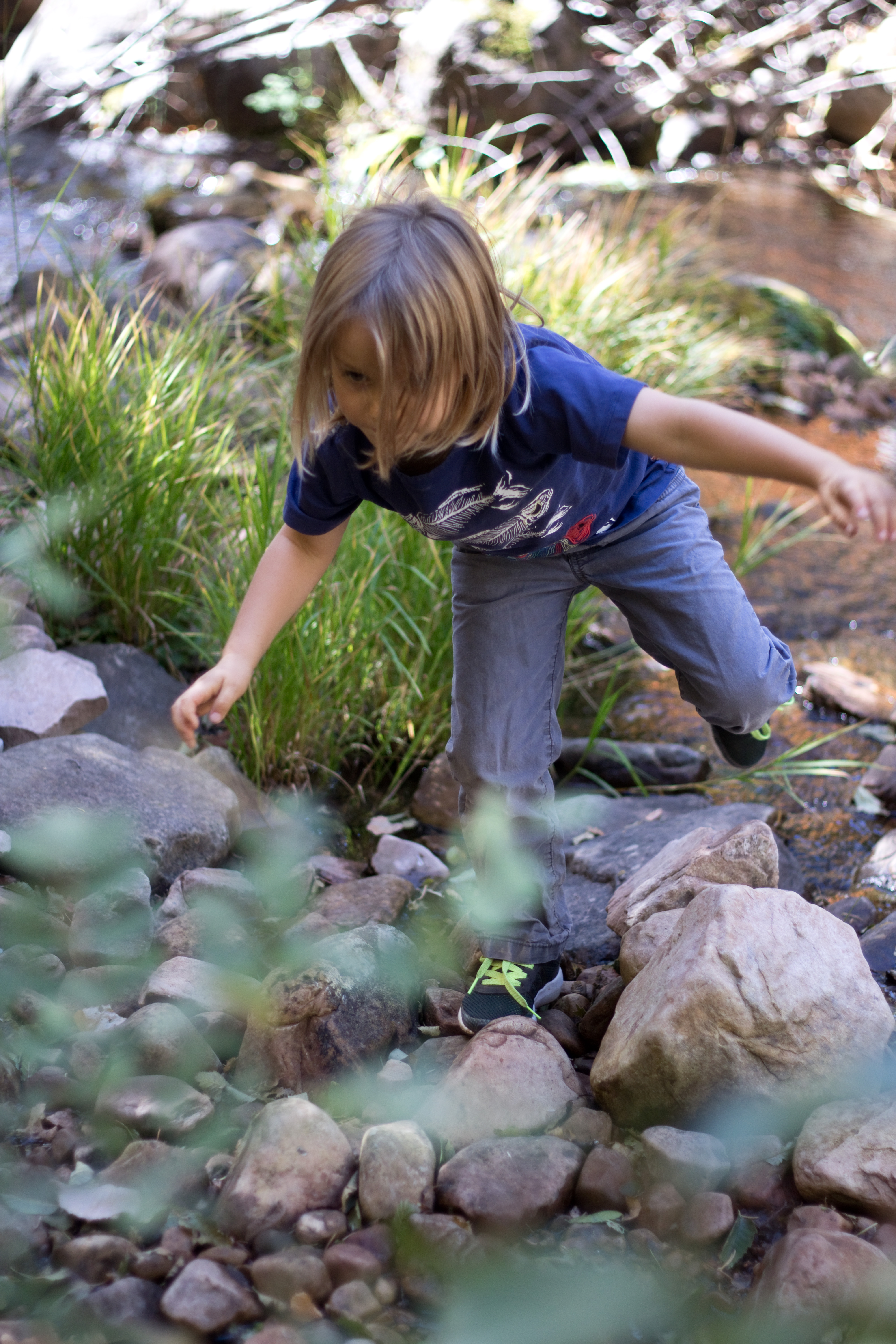
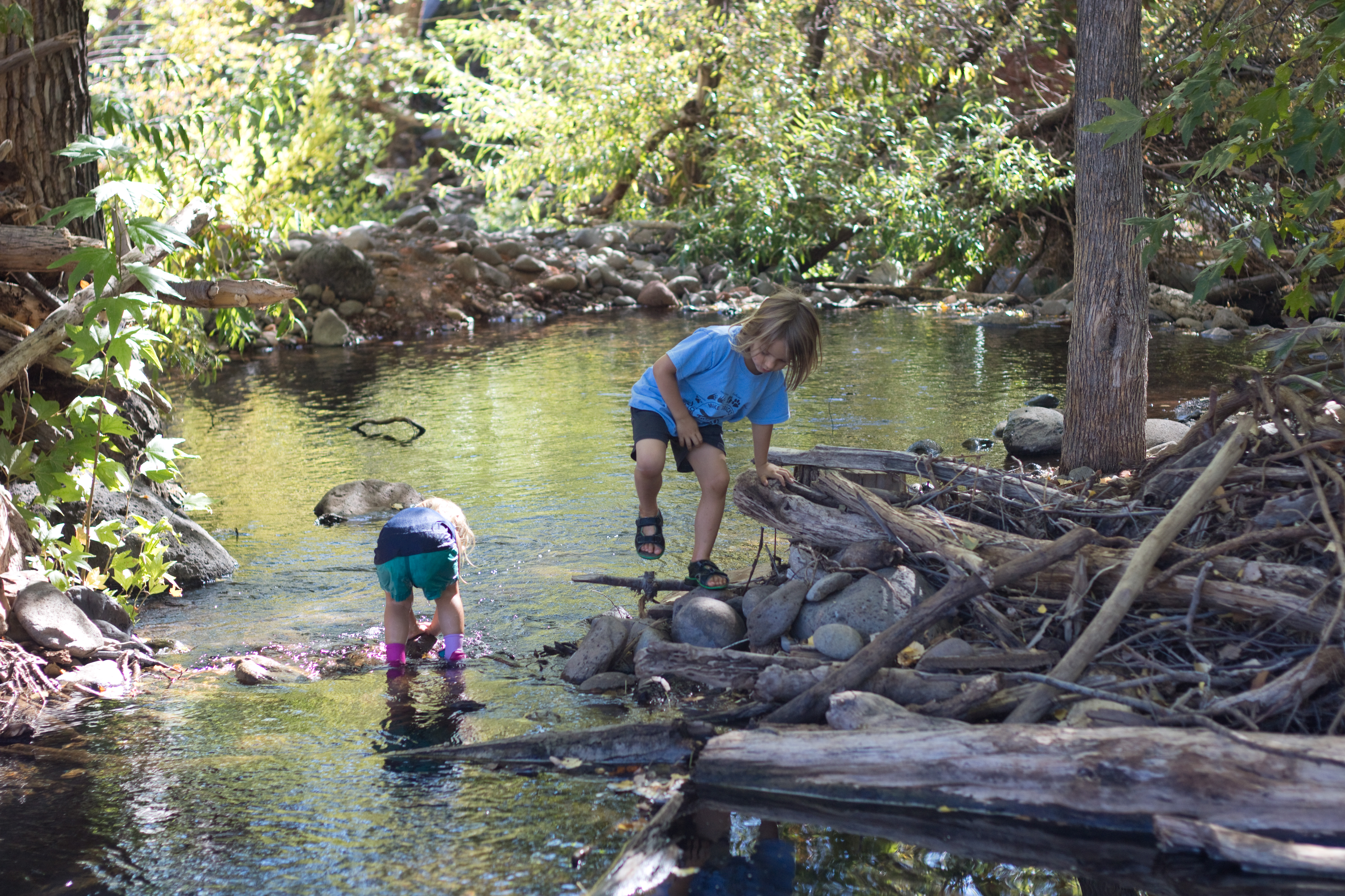
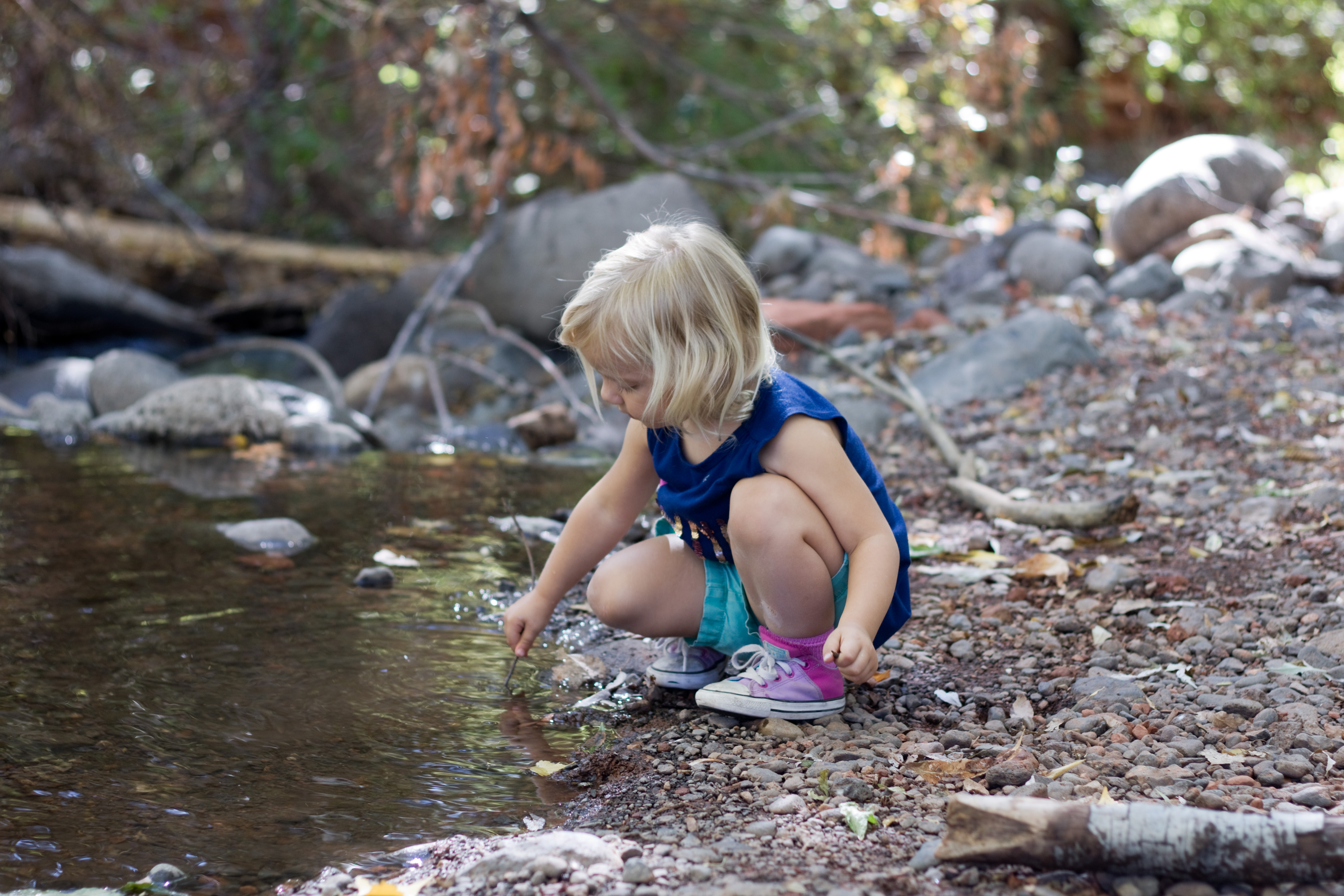
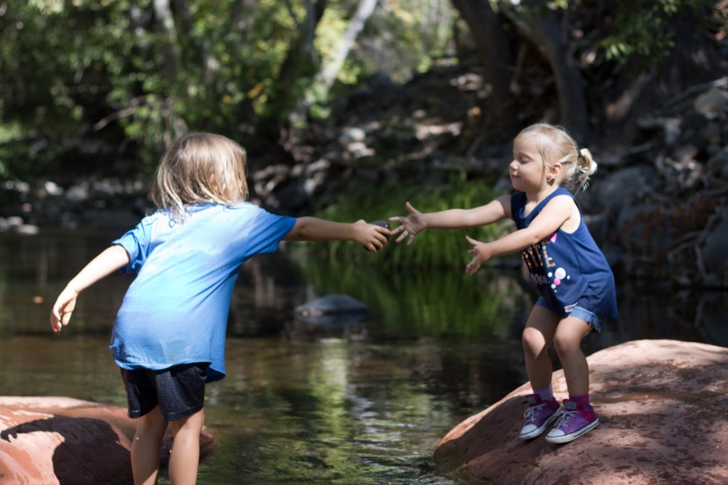
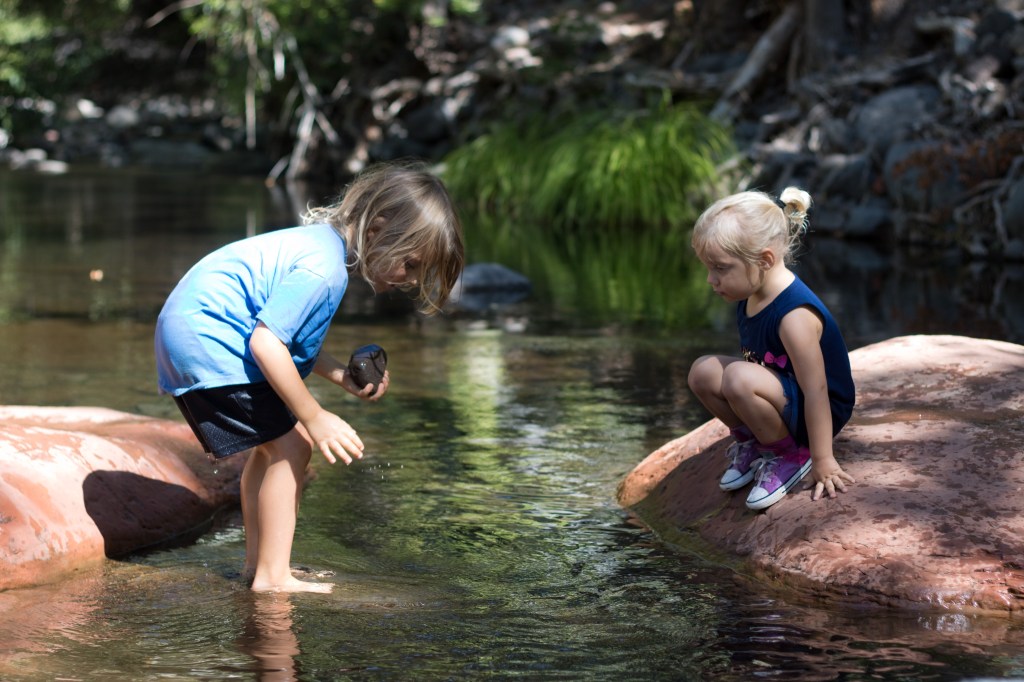
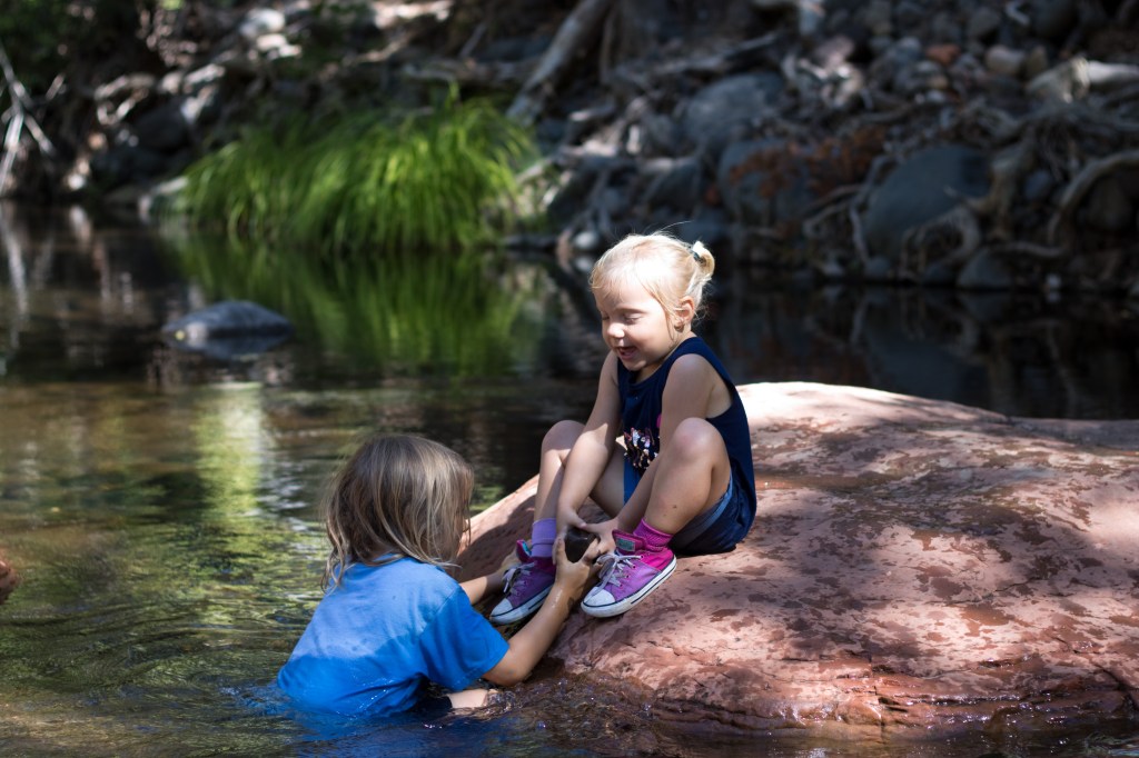
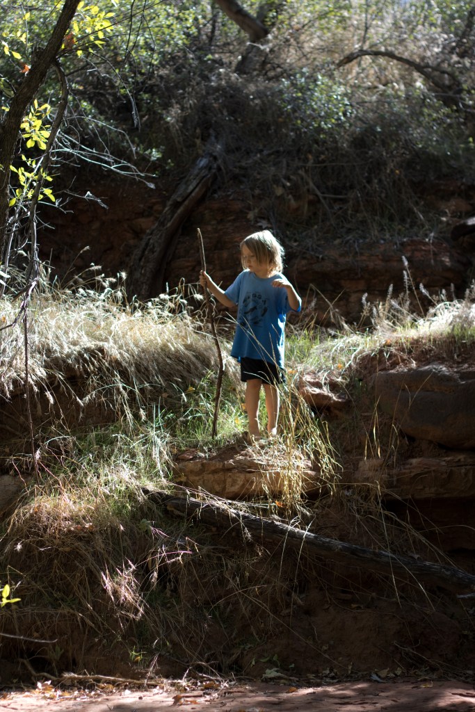
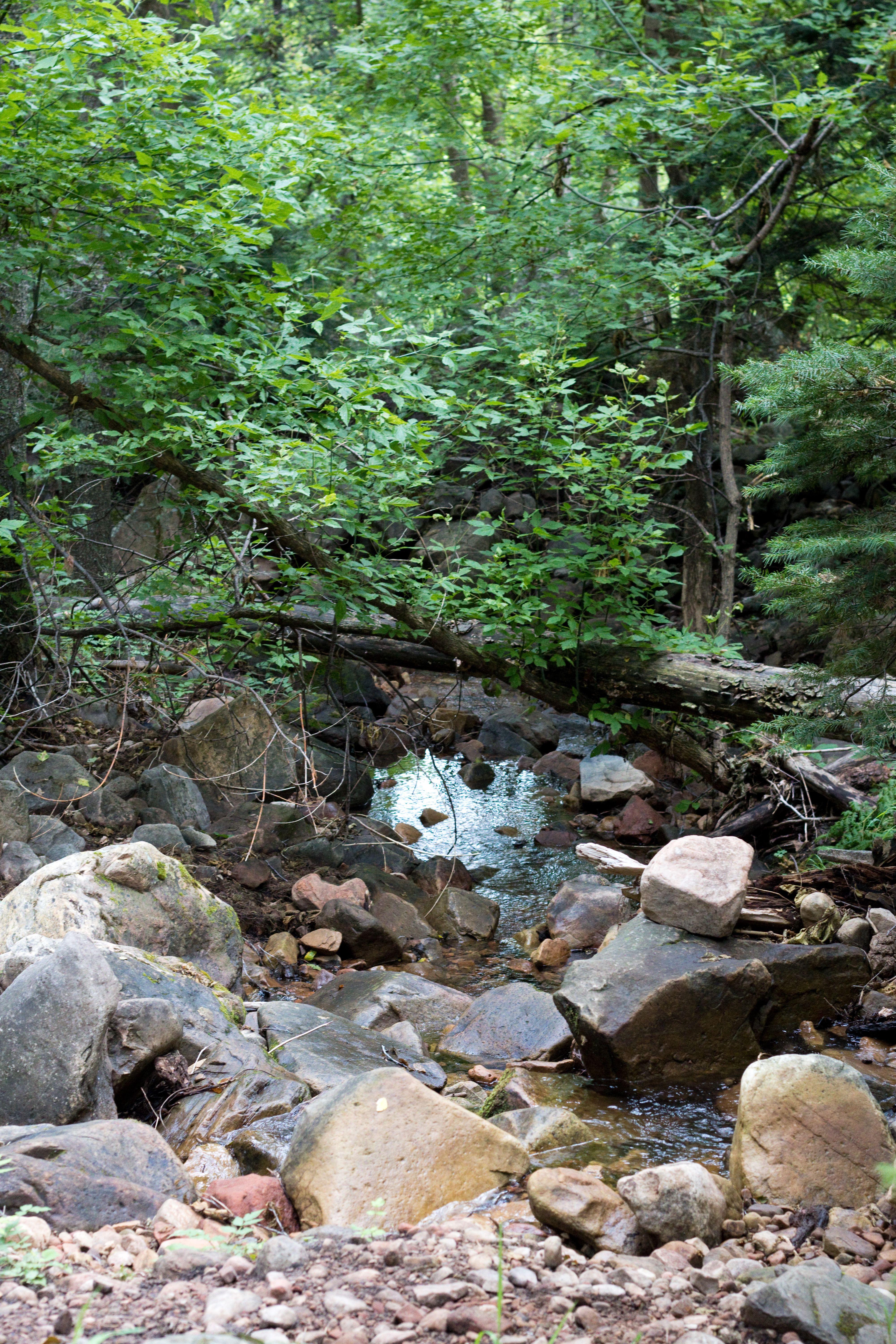
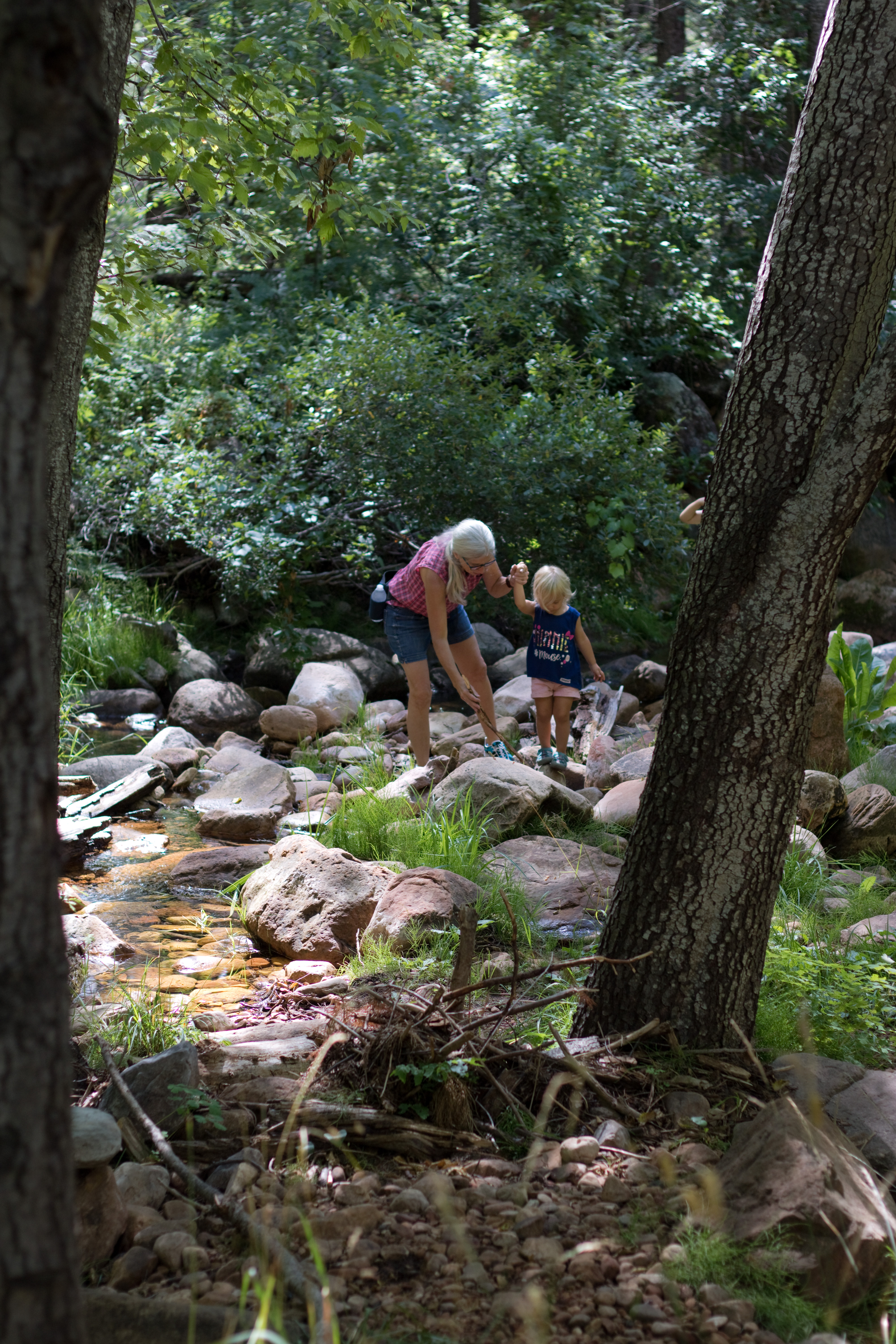
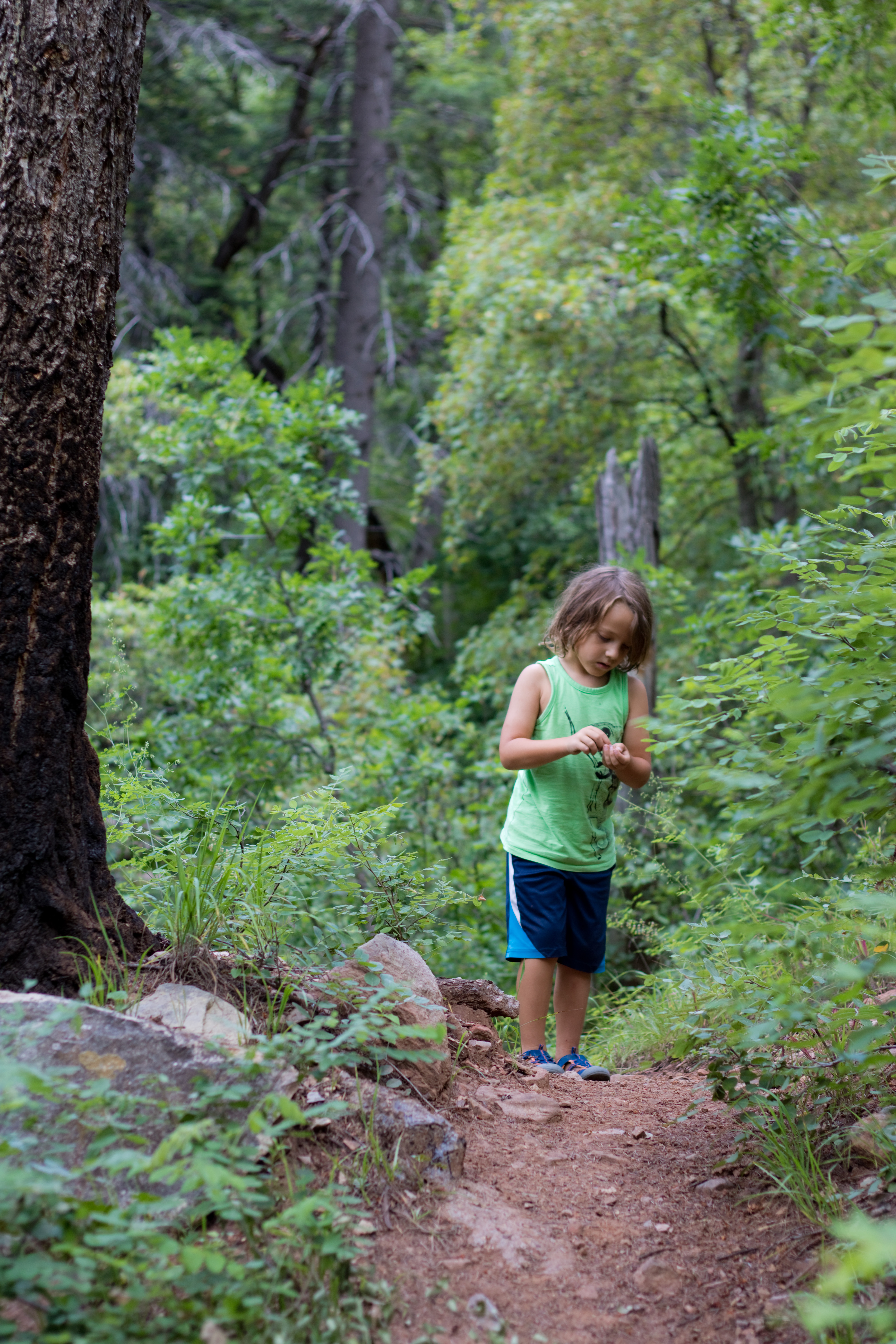
When the trail first reaches the creek, there is a shallow wading pool perfect for little kids to play in! We stayed here for quite a while before moving on, and again on our way back; I think there are only a few things in life that Aubade enjoys more than playing in running water, and she could have stayed here happily for hours. Limerick, however, was eager to climb, and Rondel wanted to see how far he could hike and try to reach the bridge. So onward we went!

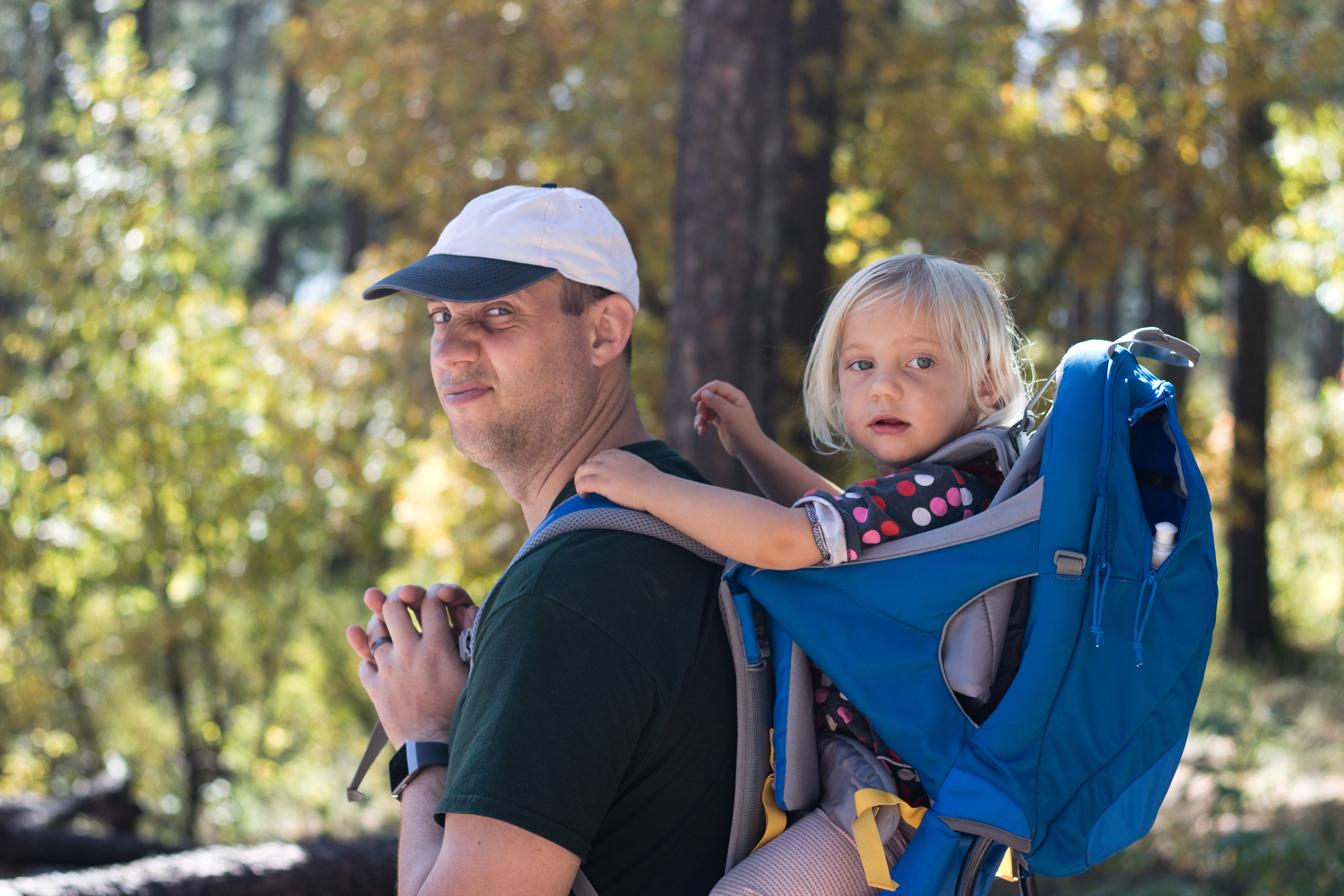
It was on this hike that I realized how lucky I had been at Ellison Creek that Aubade had taken a nap on the drive up; here, she wasn’t as rested, and almost fell asleep during an emergency nursing break halfway down the creek. Fortunately she was able to recover and enjoy the rest of the hike, but I was seriously regretting not using the hiking child carrier backpack for a while there. (She dislikes it, and also likes to hike herself where possible, so it tends to mean I’m just carrying unnecessary weight, but she may have fallen asleep in it.)

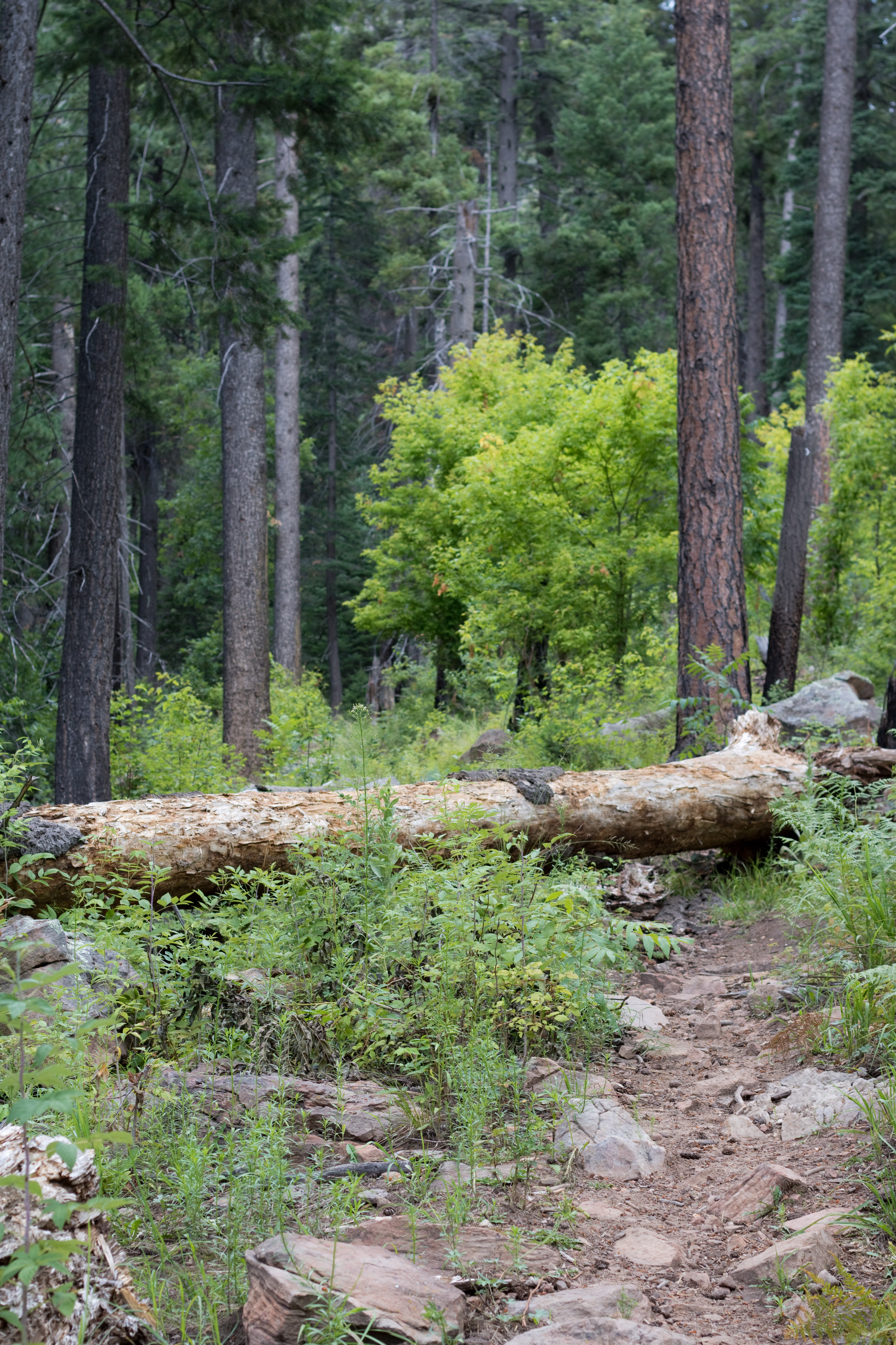
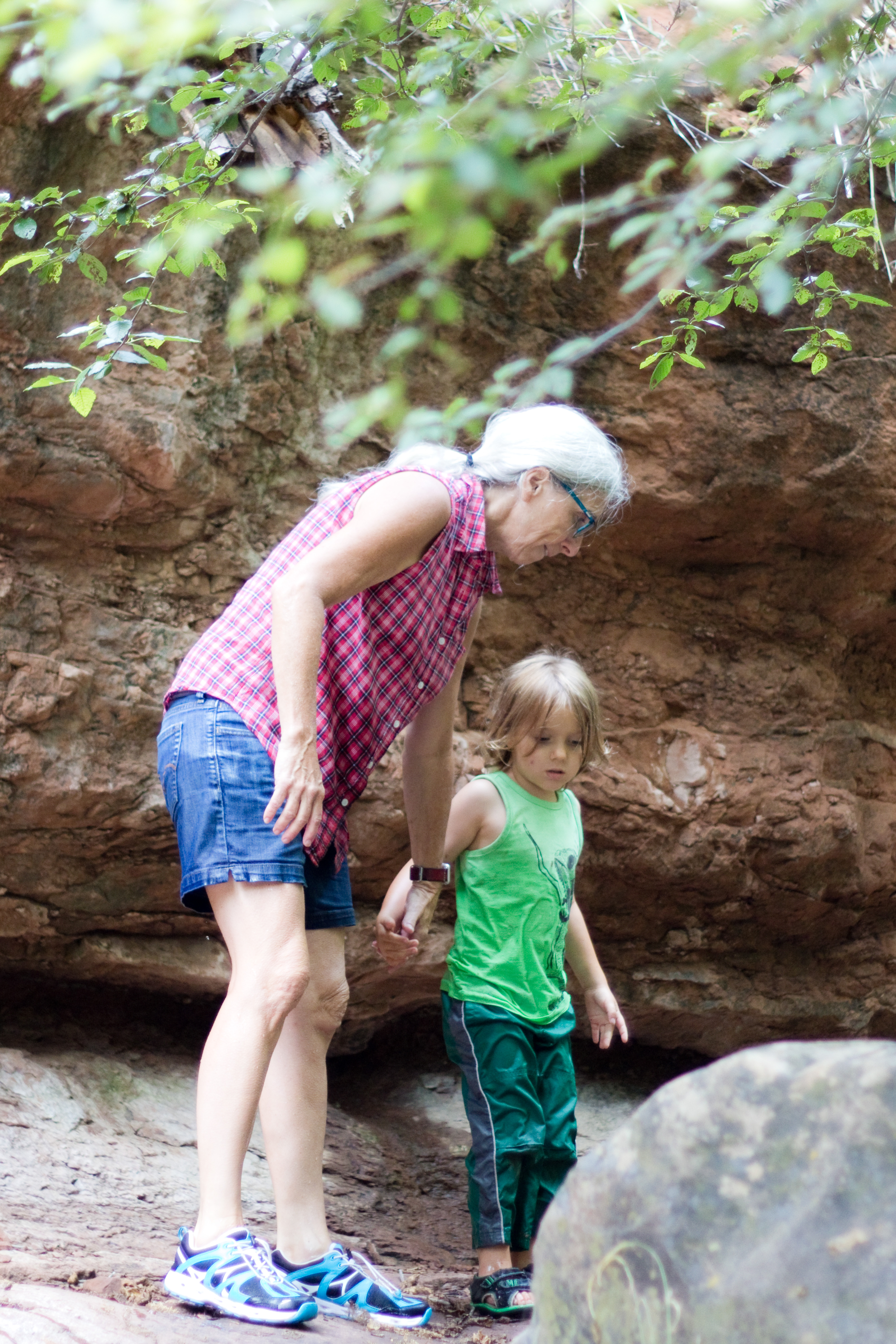
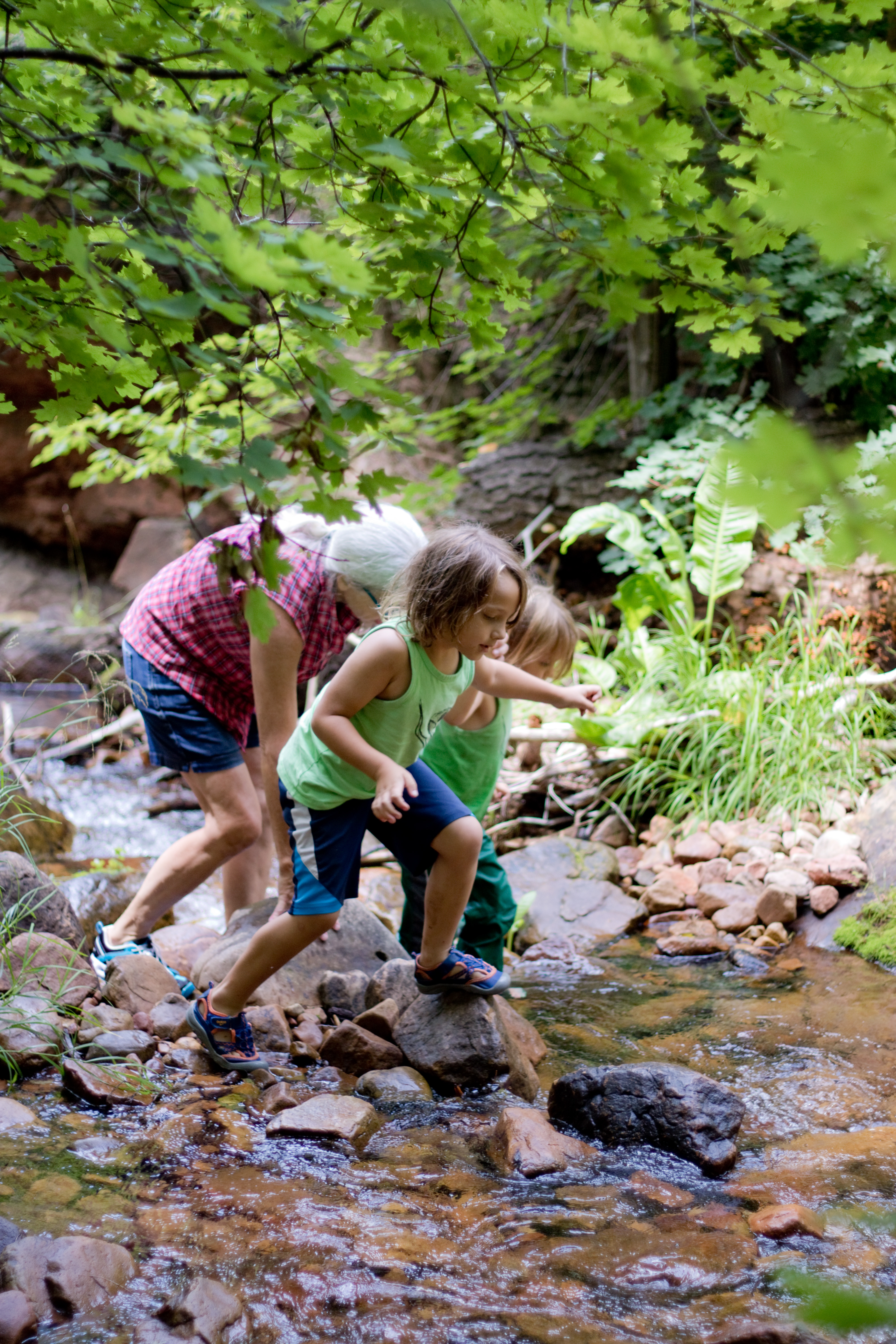
I also was very grateful that I had remembered a backpack for the water bottles as there is no way I could have made it over the boulders carrying both Aubade and a water bottle in my hands. There were times when I had to lift her over a tricky spot and then climb up myself – and then, at least once, lift the boys up next! So this is definitely not an easy hike, despite the short overall distance, and I wouldn’t recommend it if your children don’t enjoy scrambling up and over boulders.

Mine do, fortunately, so we made it, in the end, to the bridge.

IMG_0503

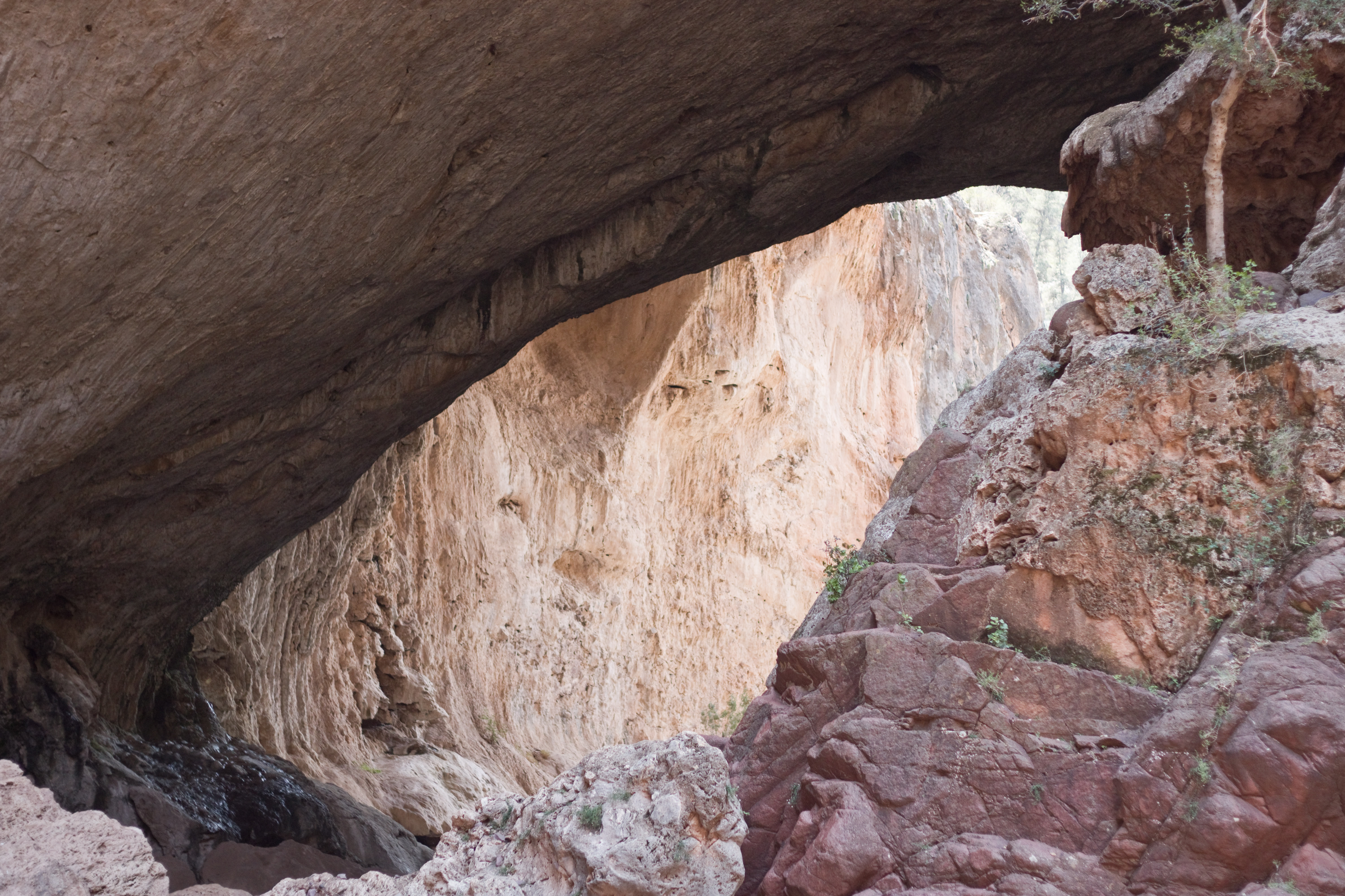
It is stunning. Too high and wide to get a good shot of in its entirety, from where we were in the canyon (we didn’t go all the way under it as I remember those rocks being extremely slippery – I had to be coached down so I wouldn’t fall when I was quite a bit older than my kids are now – and we were already all worn out). But we stayed and admired it for a while, one of those wonders made by the joint efforts of hard rock and moving water, and then made out way back from whence we came.

This was a difficult hike (the ranger who gave us our parking pass emphasized that the trails were “strenuous”), and I was so proud of all three kids for pushing themselves up the final stretch back to the car, when they were just about exhausted. Limerick was especially tired, being smaller and younger than Rondel but hiking the whole trail independently unlike Aubade, but he kept going without complaining all the way back to the car, and rode home in a very well-earned glow of accomplishment (not to mention a much-needed nap). However, despite the difficulty, I would wholeheartedly recommend this hike, and the entire state park, for anyone with experienced or determined young hikers, or who has extra adults to help carry a tired child. It is a truly unique and beautiful place.

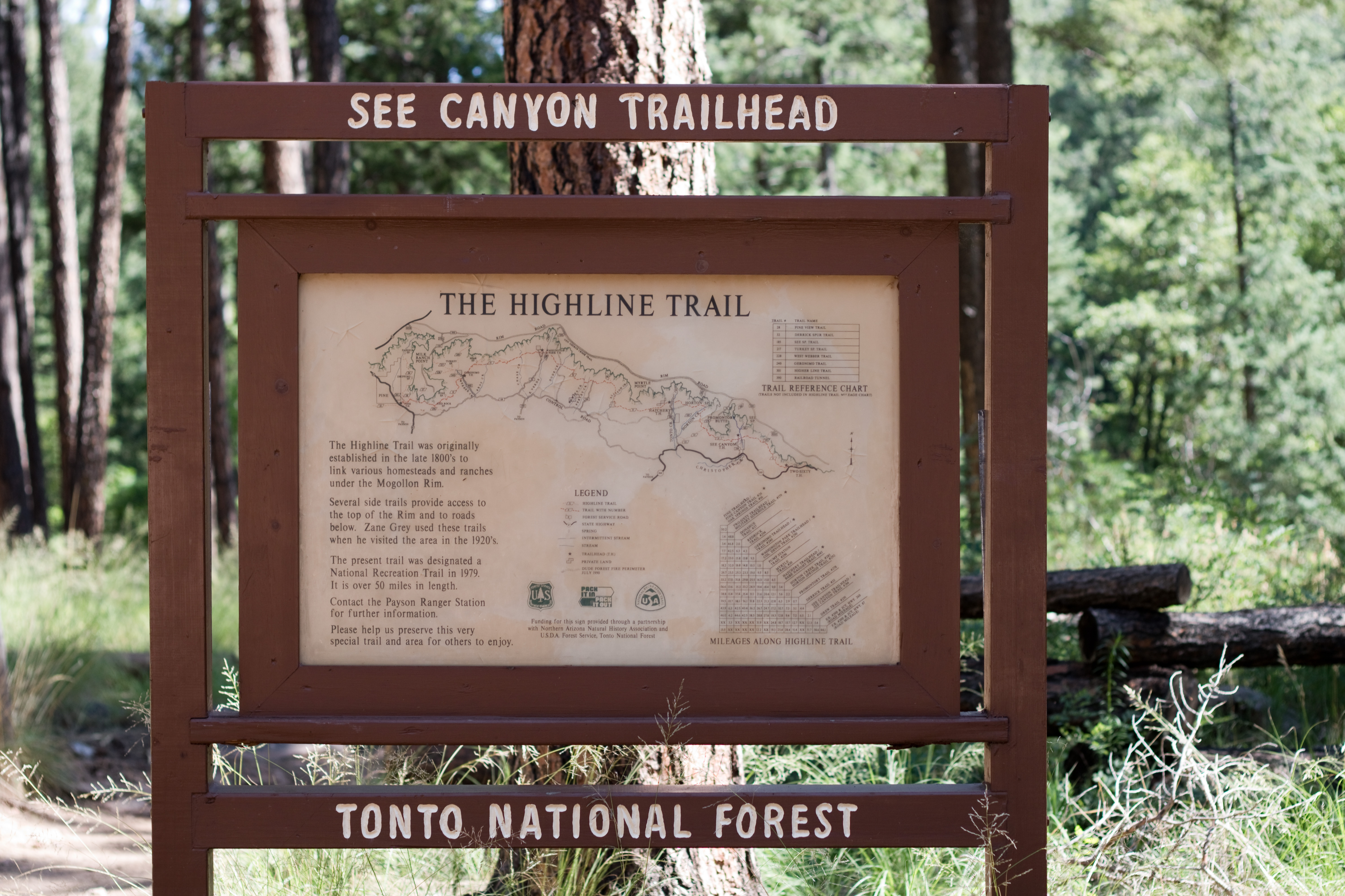
To reach Tonto State Park from the East Valley: Take the 87 north through Payson; turn left on Nf-583 (it is well-marked with a sign for the state park) and continue to the park entrance. The park is open beginning at 8am in the summer and 9am in the fall through spring.